Turning colder with a good deal of dry weather this week

The weather is set to turn colder this week compared to the somewhat milder conditions we've seen in recent weeks, with a good deal of dry weather too, according to Met Éireann.
Any patches of mist and fog in southern parts will clear this morning (Monday, November 17) to leave a cool and mainly dry day with plenty of sunshine and just the odd isolated light shower.
Cloud will build into parts of the north-west and west later, but it will hold mostly dry for daylight hours. Highest temperatures will be 6° to 10°C in a light variable breeze.
It will be dry in most places at first tonight with clear spells, but it will become increasingly cloudy from the north-west, with outbreaks of mainly light rain and drizzle spreading south-eastwards.
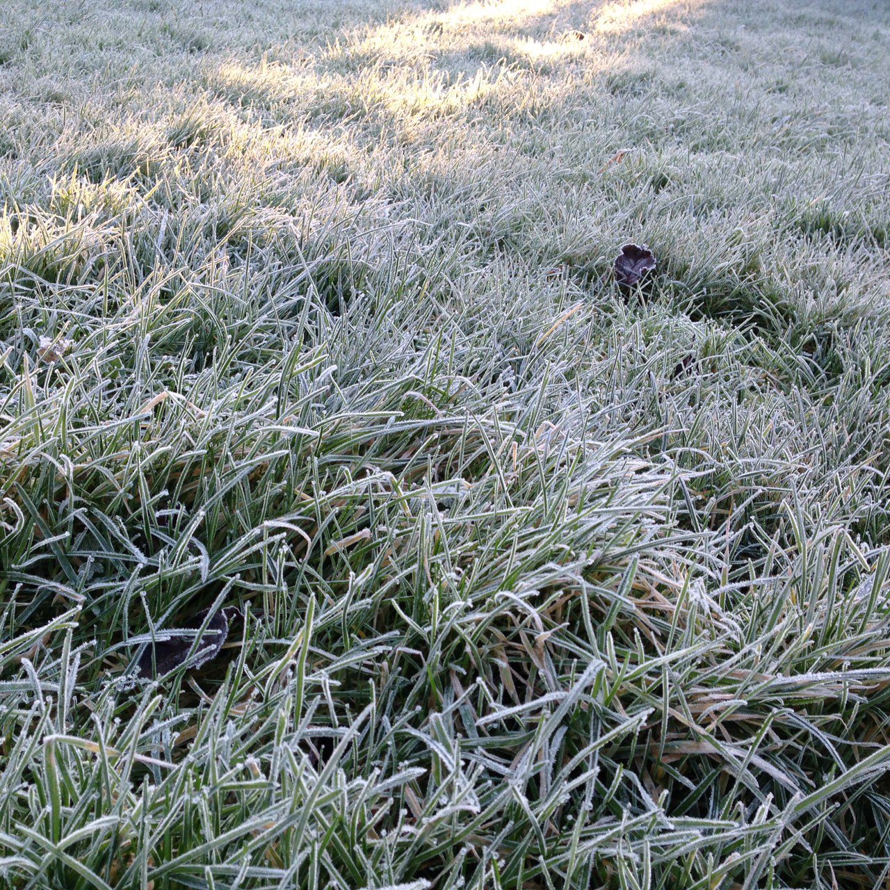
Clear spells and scattered showers will start to follow from the north-west. Lowest temperatures tonight will be -1° to +3° generally, with some frost and icy patches for a time, away from the west and north-west, where it will be somewhat less cold.
Winds will be mostly light variable tonight, becoming light to moderate south-west or west, and increasing fresh at times in some western and northern coastal parts.
Rain and drizzle will clear south-eastwards early tomorrow morning (Tuesday, November 18), with sunshine and scattered showers following from the north-west. Some of the showers will be heavy, mainly further north, where there is a chance of hail.
It will become breezy tomorrow, especially from the afternoon, with west to north-west winds increasing moderate to fresh and gusty, veering northerly later and becoming stronger, especially further north and in western coastal parts.
Highest temperatures tomorrow will be 6° to 10°, but feeling colder, with an added wind chill factor.
Tomorrow night will be cold, with scattered showers becoming more confined to parts of the north and northwest, with a few drifting into some western parts as well at times. Elsewhere, it will become mostly dry with long clear spells.
Some of those showers, especially further north, will turn increasingly wintry, falling as sleet, with some snow too, especially over higher ground.
Tomorrow night will be rather windy, especially early in the night, with moderate to fresh and gusty northerly winds, stronger along exposed coasts; but the winds will tend to moderate overnight, away from those exposed coasts.
Lowest temperatures will be -1° to 3° with some frost and ice, especially in sheltered parts.
Wednesday
Wednesday (November 19) will be a cold day with sunshine and scattered showers, most of which will be in Ulster, Connacht and parts of west Munster, but some possibly drifting into north Leinster too.
Some of the showers will fall as sleet and hail, with some of snow too, especially over higher ground in the north and north-west, where some generally modest accumulations can be expected.
Highest temperatures on Wednesday will be 4° to 7°, and feeling even colder with an added wind chill factor from moderate to fresh north to north-west winds, stronger near exposed coasts.
Wednesday night will bring further scattered showers, mainly in the north and north-west, some wintry, though the showers will become more isolated overnight.
Elsewhere it will be mainly dry with long clear spells. Lowest temperatures will be -2° to +3°, coldest in the east and south, with a fairly widespread frost and some icy conditions developing.
The moderate to fresh north to north-west winds will gradually ease mostly moderate overnight.
Thursday
Thursday (November 20) will be dry and bright for most with long sunny spells and with just isolated showers, mainly in the north and northwest, still wintry at times.
Highest temperatures will be 4° to 8° in mostly moderate north-westerly breezes, easing light through the day.
Thursday night will be cold with mostly clear skies at first, but with cloud increasing from the west overnight. Lowest temperatures will be -3° to +2°, with a fairly widespread frost and some icy conditions.
Winds will be light and variable for a time, becoming south-westerly, and increasing moderate to fresh along parts of the west coast later on.
Friday
Friday (November 21) will begin dry in all areas, and while it could stay dry in the east and south-east for daylight hours, rain will gradually spread from the north-west through the day.
Southerly winds will freshen too and will bring in milder air from the Atlantic with the rain. Highest temperatures of 6° to 11°.