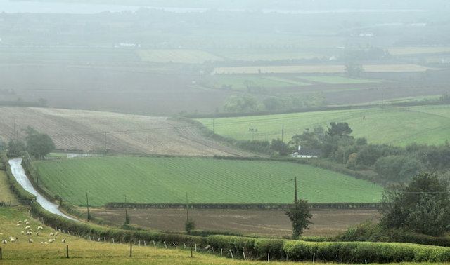
Status Yellow warning in place as high winds to cross country


A national wind warning has been issued by Met Eireann. The Status Yellow weather warning was put in place yesterday (Sunday, December 17).
The alert will remain in place for Munster, Connacht and Donegal from 1:00pm today until 4:00am tomorrow and in Cavan, Monaghan and Leinster from 7:00pm this evening to 9:00am tomorrow morning.
This morning will see any patches of frost soon clearing and will be mostly dry with a few bright spells in the east, according to the national forecaster.
However, it will be cloudy in the west with outbreaks of rain and drizzle spreading eastwards during the morning and early afternoon.
Afternoon temperatures today will range from 9° to 12°.
Tonight, rain will turn very heavy in the west with the risk of thundery downpours as the night progresses.
South to southeasterly winds will increase further to reach gale force with severe gusts.
Tonight will be relatively mild with temperatures ranging from 8° to 11°, but falling to around 5° to 7° in the west tomorrow morning.
Tomorrow
There will be heavy rain over Ulster and Leinster tomorrow morning (Tuesday, December 17), followed by a clearance of rain from the west with scattered showers later in the day.
It will then turn cooler, with afternoon temperatures of just 6° to 9°. South to southwesterly winds will be moderate to fresh but in the east, the winds will be strong to gale force for a time of the morning.
Showery conditions will remain in place for much of this week – some heavy or more frequent – with the risk of hail or thunder.