Status Yellow low temperature warning issued nationwide

Mét Eireann has issued a nationwide Status Yellow weather warning for low temperatures and ice across the country as temperatures are forecasted to drop to -5° in places.
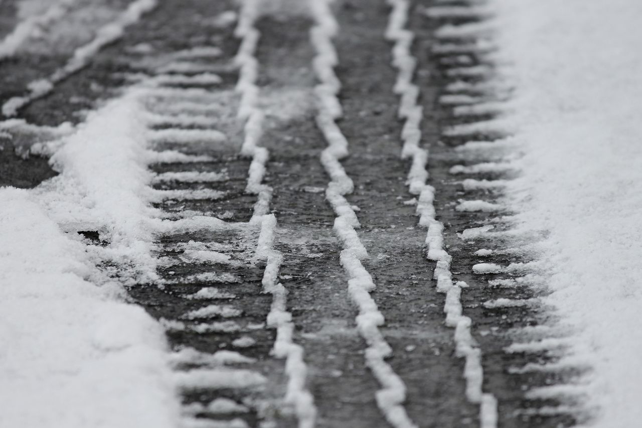
A sharp frost and further icy stretches will set in on Saturday night, while a Status Yellow snow warning is in place for Dublin, Kildare and Wicklow.
Snow showers will lead to accumulations in places, most substantial over high ground.
On Sunday (December 11), temperatures will struggle to rise above freezing for most areas, with ice and freezing fog persisting throughout the day. It will be mainly dry, apart from isolated showers in some coastal margins. Highest temperatures will be -2° to +2° in light, variable breezes.
Sunday night will see widespread frost and ice, with lows ranging from -6° to -2°. Wintry showers of sleet and snow will move in closer to the Atlantic coast.
It will remain cold on Monday (December 11) as temperatures in many parts may stay below freezing. Any fog inland will likely persist. Again, it will be mostly dry, with isolated wintry showers along coasts. Breezes will be light and easterly.
Monday night is set to be very cold, with lows of -2° to -4° causing widespread frost, ice, and freezing fog in light northeasterly breezes. It will be clear for most, with just coastal areas experiencing any cloud or isolated showers.
Current indications indicate that the cold weather will continue into next week, Met Éireann has warned.