Status Orange warning for freezing fog issued

Met Éireann has now (Monday, December 12) issued a Status Orange warning for freezing fog for almost all of the country.
The counties and regions affected are: Connacht; Carlow; Dublin; Kildare; Kilkenny; Laois; Longford; Louth; Meath; Offaly; Westmeath; Cavan; Donegal; Monaghan; Clare; Limerick; Tipperary.
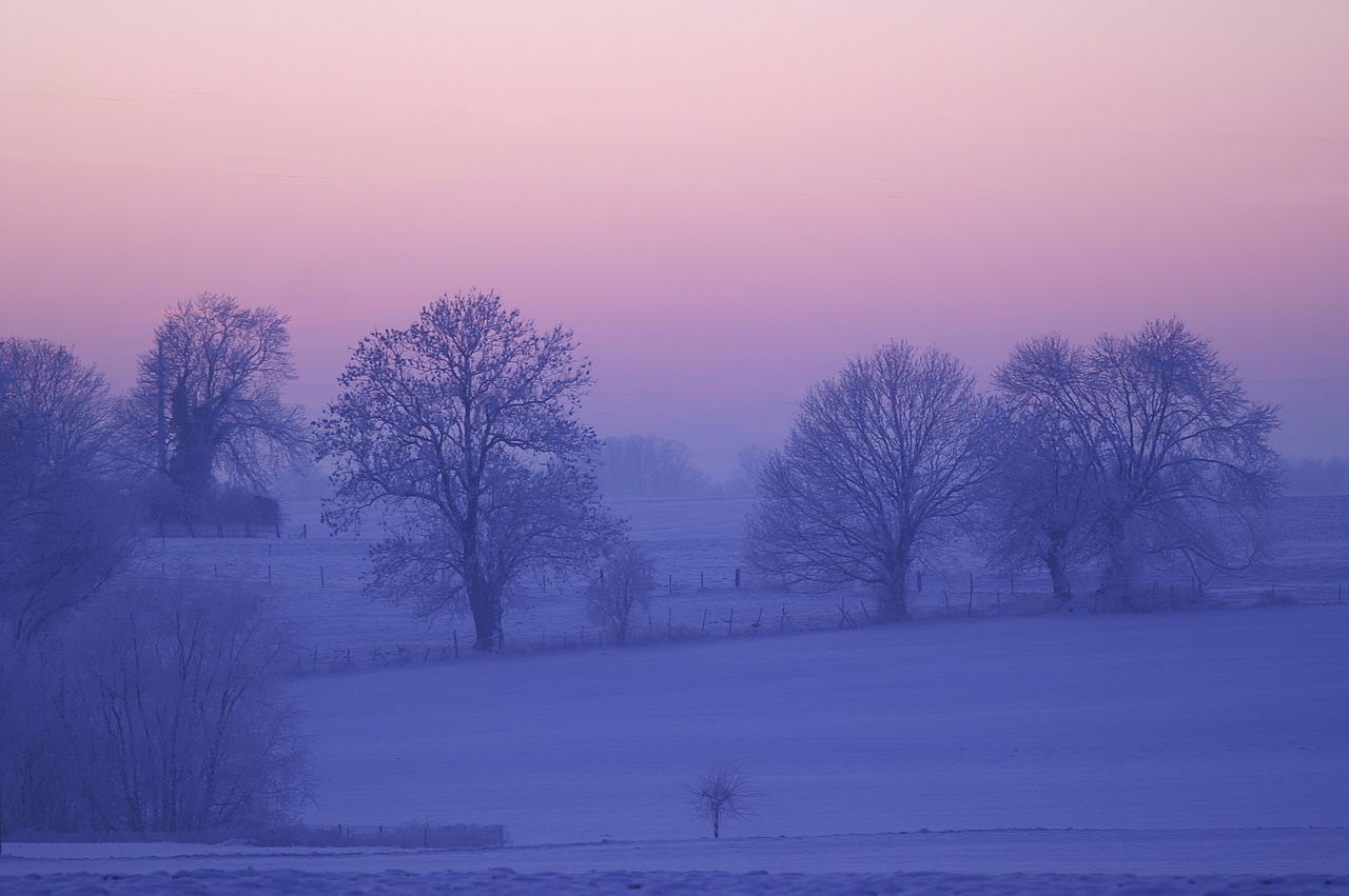
The national forecaster has said that freezing fog, dense in places, will persist through the afternoon and into tonight, leading to very hazardous driving conditions.
The warning is in place from midday today (Monday) until midnight tonight.
Status Orange low temperature warning
Meanwhile, a Status Orange warning for low temperatures and ice, which was in place for much of the weekend, expires at noon today.
The warning was issued last Saturday ahead of severe frost and further icy stretches on Sunday which were accompanied by patches of freezing fog, with temperatures falling to -5° in some areas.
However, a Status Yellow warning for low temperatures and ice remains in place for the whole country until midday on Friday, December 16. Met Éireann has said that some showers of hail, sleet and snow will occur, mainly near coasts.
Accumulations at lower levels are expected to remain low. Freezing fog will occur at times, with winds remaining light over land.
Weather forecast
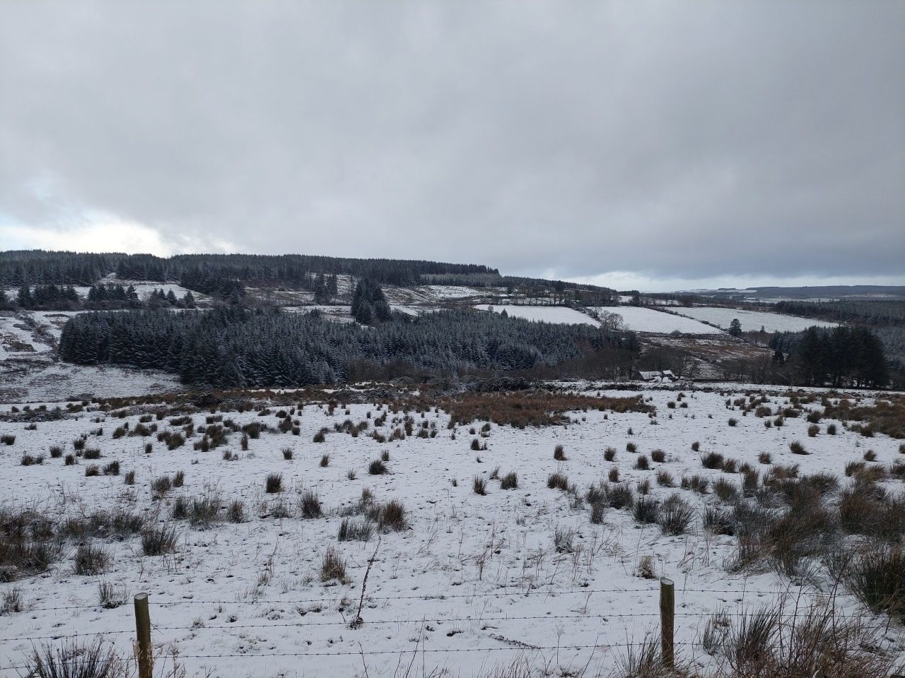
The frost, ice and fog will linger in places through today. Wintry showers will also continue in the northwest, with a few moving into eastern and southern counties during the afternoon and evening.
Temperatures will reach just -2° to +4°C, with the highest temperatures near coasts and remaining below freezing for much of the north midlands. Light breezes will be southeasterly or variable.
Met Éireann has said it will be very cold once again tomorrow (Tuesday, December 13), with frost and ice persisting through much of the day.
Mostly cloudy in the southern half of the country with brighter conditions towards the north.
It will stay dry for most areas with a few outbreaks of rain, sleet or snow in the southwest and just isolated wintry showers elsewhere. Daytime temperatures will reach 0° to 5° in light to moderate northeasterly winds, fresher in the southwest.
Tuesday night will be very cold but generally dry with just a chance of isolated wintry showers near coasts. Widespread frost and ice are expected with minimum temperatures of -5° to +1° with light to moderate northeasterly winds.
On Wednesday, it will be generally dry with a good deal of crisp winter sunshine and just a chance of isolated wintry showers near coasts. Highest temperatures will remain from 1° to 5° in mainly light northerly breezes.
Another very cold, frosty night on Wednesday night with lows of -6° to 0°. It will remain generally clear and dry with light northerly breezes and just isolated wintry showers in the north and northwest.