Mix of dry spells and wet conditions at start of 2020


The coming week is set to be a mixed bag weather-wise, with mainly dry conditions, but with plenty of cloud and some wet patches in parts.
Today, Monday, December 30, rain will gradually spread from the north-west towards the south-east, becoming patchy. Elsewhere, bright and sunny spells will give way to cloud.
Afternoon temperatures will be 9° to 11° generally, but these values will fall back to 6° to 8° over northern areas, where the winds will veer northerly later. Southern coasts will see lingering mists.
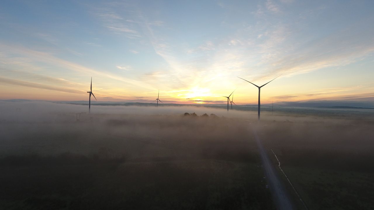
Tonight will also see light or moderate east to north-east breezes, with mist thickening into fog in places.
Tomorrow, Tuesday, December 31 (New Year’s Eve), will be largely dry, with the exception of a few showers in some southern areas. The north of the country will be cold and frosty to begin with, but it will also see the best of the sunshine.
The south will be cloudier, with lingering mist in patches. Highest temperatures throughout the country will be between 6° and 10° (coldest in the north), in mainly light easterly or variable breezes.
Wednesday, January 1, 2020, will also be largely dry, but cloudy as well, with only limited sunny spells. Light to moderate southerly breezes will increase fresh to strong along Atlantic coastal areas as the day goes on. Highest temperatures will be 7° to 11°.
The winds will pick up on Wednesday night, increasing to strong or gale force on coasts by morning. It will be a dry night in most areas, but rain and drizzle will affect western and southern counties by dawn. Lowest temperatures will be 5° to 8°.
Thursday, January 2, will start off very windy, with fresh to strong and gusty south to south-west winds. Rain will gradually turn persistent on Atlantic coasts and spread to most parts over the day, followed by cooler, more showery conditions. Highest temperatures will be 10° to 12° in the morning, though these figures are expected to fall back to 7° to 9° in the west during the afternoon.
Friday, January 3, is shaping up to be a mostly dry and bright day, with just isolated showers in the west and north. Temperatures will be between 7° and 10°.
Drying conditions are expected to be generally poor over the next few days, with the best of any being in the east and south. There will be some opportunities for spraying, given the occasional dry period.
Most soils are currently saturated or waterlogged, but some improvement is expected in the coming week.