Status Orange rain and thunderstorm warning issued for sixteen counties

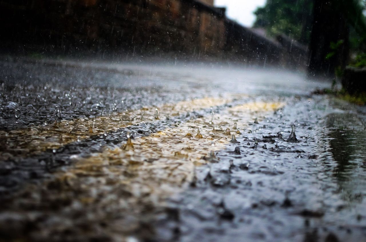
Met Éireann has issued a Status Orange rain and thunderstorm warning for sixteen counties which will come into effect late this evening (Thursday, October 27).
Heavy rainfall with embedded thunderstorms is likely to cause flooding in the following counties: Carlow; Cavan; Dublin; Kildare; Kilkenny; Laois; Longford; Louth; Meath; Monaghan; Offaly; Tipperary; Waterford; Westmeath; Wexford; and Wicklow.
The Status Orange rain and thunderstorm warning will come into effect from 11:00p.m today and will remain in place until 7:00a.m tomorrow (Friday, October 28).
Another weather warning has also been issued by Met Éireann, affecting six counties in Northern Ireland.
Heavy rain is likely to cause some disruption and flooding in counties Antrim; Armagh; Down; Fermanagh; Tyrone; and Derry.
The Status Yellow rain warning will be valid from midnight tonight until 11:00a.m tomorrow, according to the UK Met Office.
Met Éireann forecast
Today will see cloudy weather with outbreaks of rain along southern and western coasts with more persistent rain extending from the south through the afternoon and evening.
It will be very mild, with highest temperatures of 14° to 17° in moderate south to southeasterly winds, according to the national forecaster.
Rain will clear in all areas but the northwest early tonight with dry clear spells developing elsewhere. Lowest temperatures should be 9° to 13° in moderate to fresh southerly winds.
After a bright and mostly dry start tomorrow, cloud will thicken through the afternoon with rain following later in the afternoon extending over the south of the country through the evening. Highest temperatures will be 13° to 15° in light to moderate southerly or variable winds.