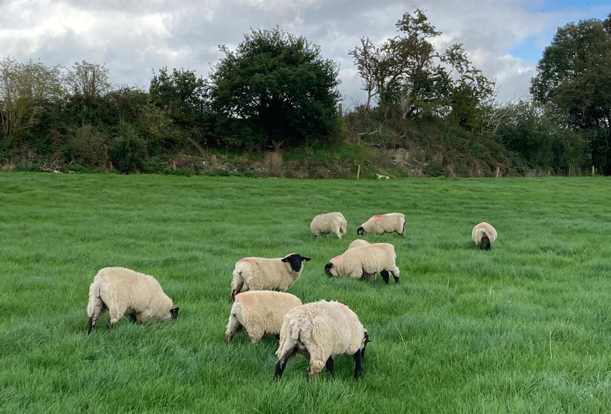
Met Éireann issues high temperature warning

Met Éireann has issued a Status Yellow weather warning for high temperatures across the country over the coming days
The national forecaster said that conditions will be very warm and humid during tomorrow (Thursday, September 7) and Friday (September 8).
Daytime temperatures in excess of 27° are expected in many areas away from coasts, while overnight temperatures not dip below 15°.
This will bring a risk of heat stress, uncomfortable sleeping conditions and a risk of water-related incidents.
The weather warning, which applies to all counties, will come into effect at 8:00a.m on Thursday and remain in place until 8:00a.m on Saturday (September 9).
Met Éireann
The weather forecast for today shows that most areas will be dry today, apart from some showers in the western half of the country, some falls could be heavy and thundery.
Daytime temperatures will range from 22° to 26° in moderate southerly winds.
Tonight will bring clear spells and some showers, it will feel warm and humid as the mercury lingers between 14° and 17°.
Scattered showers will move northwards on Thursday with some heavy and thundery downpours bringing a risk of spot flooding.
There will be good sunny spells in the afternoon with isolated showers. Temperatures will reach 24° to 27° in a light to moderate southerly wind.
Meanwhile, in an updated farming commentary, Met Éireann said that the coming week will be wetter than average generally, though locally some coastal areas could see closer to average or lower.
Mean air temperatures will be above average and mean soil temperatures are likely increase in the warm and humid conditions this week.
Drying conditions will be good or very good initially but will become moderate at times as the week progresses, due to increased moisture and the chance of showers.
There will be intermittent spraying opportunities due to the possibility of showers in places.