Met Éireann: Colder conditions to set in this week

Met Éireann has said that it is set to feel much colder across the country this week as temperatures fall.
The national forecaster has issued a weather advisory for tonight (January 3) following the milder conditions of recent weeks:
A mix of rain, sleet and snow will clear south over the country this evening and early tonight with a cold airmass following from the north.
Ice is expected to form in some areas, which could lead to treacherous conditions on roads overnight and tomorrow morning (Tuesday, January 4).
The weather advisory is valid from 8:00p.m tonight to 9:00a.m on Tuesday.
Meanwhile, a Status Yellow Rainfall Warning for Co. Donegal remains in place until 3:00p.m today.
The forecaster said that heavy showers or longer spells of rain may result in some rivers flooding as well as localised surface flooding.
Met Éireann
Rain in north Ulster will push south today across the province and into Connacht, elsewhere there will be scattered showers and sunny spells.
Temperatures will be between 7° and 10° generally, but it will turn colder in north Ulster by the late afternoon where freshy and gusty southwesterly winds will veer northerly.
Showers of rain will continue to push south this evening and early tonight.
Met Éireann said that falls of sleet and hill snow are possible for a short time across parts of south Leinster and east Munster.
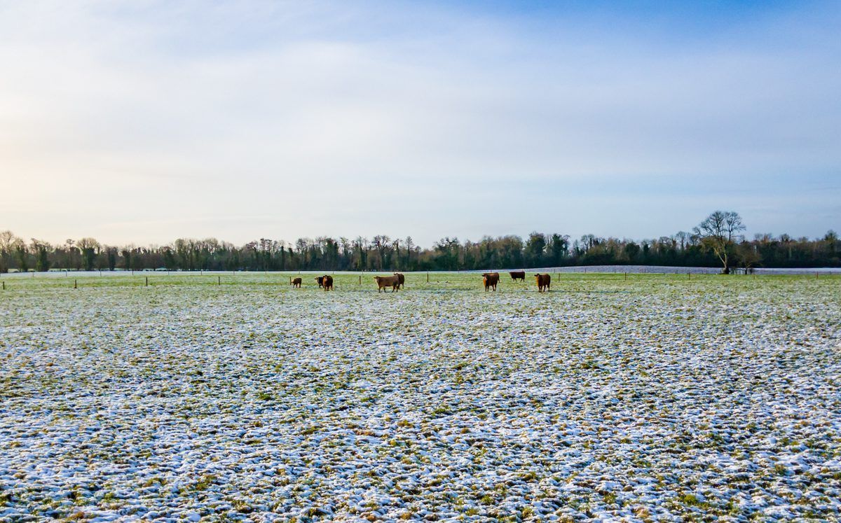
Frost and icy patches will form in some areas with lowest temperatures of -1° and 3°.
Conditions on Tuesday will be cold with sunny spells, there may be some rain or hail showers in east Ulster.
Highest temperatures will range from 4° to 7° in moderate northwest breezes.
Tuesday night will see a widespread sharp frost developing as the mercury falls to between -3° and 0°, but values will be slightly higher in north Ulster.
Met Éireann has said that it will be generally cold until next weekend, however rain on Wednesday will bring a brief return to milder conditions before temperatures tumble again.