High pressure set to build with drier weather expected


A spell of drier and more settled weather is forecasted for early next week as high pressure is set to build, though there will still be showers at times, according to Met Éireann.
It will be mostly cloudy today (Friday, September 18) and will become breezy, with outbreaks of rain in western parts, spreading eastwards through the morning, some of that heavy for a time, especially further west.
While the rain will ease in the afternoon, there will be further scattered outbreaks of light rain and drizzle in many areas for the rest of the day, along with some mist and hill fog.
There will be some drier spells too though through the afternoon and evening, the best of these further south, where a few bright spells are possible, with some decent dry spells likely in some eastern parts later also.
Highest temperatures will be 15° to 18° in moderate to fresh and gusty south-west winds, stronger for exposed coasts.
Tonight will be mostly cloudy at first with scattered outbreaks of mainly light rain and drizzle, along with some mist and hill fog.
A clearance will follow from the north-west overnight, with a few scattered showers following too, these mainly in the north and parts of the west.
It will be a mild night, with temperatures not falling below 11° to 15° in moderate to fresh and occasionally gusty south-west winds, stronger in exposed coastal parts.
Saturday
Tomorrow (Saturday, September 19) will be breezy generally, with a lot of dry weather overall and some bright or sunny spells.
There will be some scattered, mostly light, showers as well, these mainly affecting the northern half of the country.
Highest temperatures will be 14° to 19° in moderate to fresh and occasionally gusty south-west to west winds, stronger in the north and north-west, but the winds will gradually moderate from the south through the day.
Tomorrow night, there will be a few scattered showers in the northern parts, and it will be rather cloudy in south-western coastal parts with a few spots of drizzle, otherwise it will be a dry night with clear spells.
Lowest temperatures will be 8° to 13° with westerly winds generally easing light to moderate, continuing fresh though in parts of the north and northwest.
Sunday
Apart from a few isolated light showers in Ulster and cloudy conditions in the far south-west bringing a few spots of drizzle and mist there, it will be dry for much of Sunday (September 20) with some bright or sunny spells.
Cloud will continue to build further from the south-west through the day, with a little patchy light rain and drizzle in other parts of the south-west and west later, mainly in the evening.
Highest temperatures will be 14° to 19° in mostly light to moderate westerly breezes, a little fresher at first in coastal parts of the north and north-west, backing southerly later.
It will be a mostly cloudy on Sunday night with some rain and drizzle spreading north-eastwards, along with some hill and coastal mist and fog.
Winds will be mostly moderate southerly, and will be dragging up very mild and humid air over the country, with temperatures not falling below 11° to 16°.
Next week
There will be a cloudy start on Monday (September 21) with a little patchy light rain, drizzle, mist and fog for a time.
However, it will become mostly dry later in the morning, with just the odd patch of drizzle or light showers for the afternoon and evening.
While it will gradually brighten up through the afternoon, with some sunny spells developing, it will likely stay mostly cloudy and possibly misty along some windward coasts of the south and west.
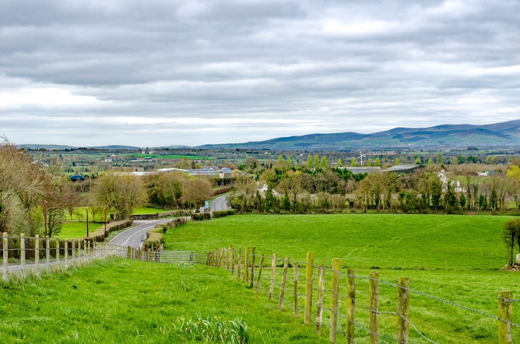
It is set to be very mild or warm, and humid, with highest temperatures of 18° to 24° in mostly moderate south to south-west winds, warmest away from southern and western coasts.
Monday night will be very mild and humid, with a lot of dry weather and some clear spells, though with a little drizzle, mist and fog.
Lowest temperatures will be 13° to 16° in light to moderate southerly winds.
Tuesday will bring a good lot of dry weather with some bright or sunny spells, the best of these across the south and east.
It will probably be cloudier in the west and north, with the likelihood that a weather front will bring some rain and drizzle there.
It is likely to be very mild or warm, with highest temperatures of 17° to 22° in mostly moderate south to south-westerly winds, warmest across the midlands, south and east.