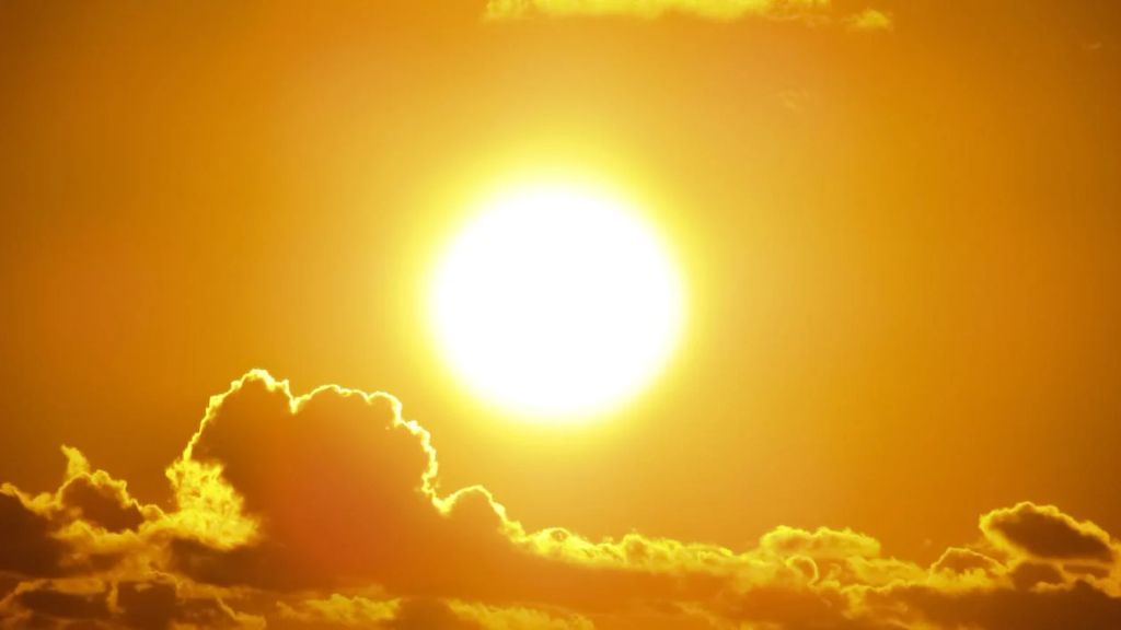
Extreme weather is the 'new normal' - WMO


The World Meteorological Organisation (WMO) has warned that extreme weather is the "new normal" and in some countries temperatures have "reached new heights".
The WMO said today (Tuesday, August 22) that "high impact" weather will continue through August.
Alvaro Silva, a climate expert with WMO, said: "The frequency and intensity of many extremes, such as heatwaves and heavy precipitation, has increased in recent decades.
"There is high confidence that human-induced climate change from greenhouse emissions is the main driver.
"This gives us the long-term context for the increasing occurrence and severity of such extreme weather and extreme events."
Weather patterns
The WMO has previously warned that soaring global temperatures will have "far-reaching repercussions" for food security.
According to Silva, the behaviour of the jet stream has been a contributing factor.
"There are several studies suggesting a connection between rapid warming and changes in the Arctic, due to human-induced climate change, and midlatitude weather patterns, including in atmospheric dynamics such as the jet stream, but further in depth research is needed to fully understand and explain the extremes occurring this summer," he added.
The WMO's climate expert pointed to a number of severe heat warnings which are currently in place across Europe from Switzerland, which is under level three amber alert to red alerts in parts of Italy, Croatia and Portugal.
According to the organisation, in Norway, where there has been prolonged heavy rainfall, floods and landslides, there is also a top-level red alert for rain in place in the southern part of the country.
Met Éireann
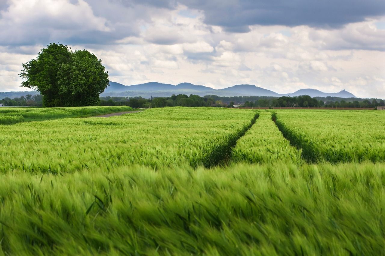
Meanwhile, the latest Farming Commentary from Met Éireann suggests that most of the country "will be drier than average" in the week ahead.
The meteorological service said temperatures will be near or slightly below normal this week and that it will be warmest early in the week then will become a little cooler.
Met Éireann has also forecast that there will be sunshine in between showers this week and that drying conditions will be "moderate or good".
"Best drying conditions will be in the south and east where lowest amounts of rainfall are forecast," it added.
According to the meteorological service there will also be opportunities for spraying between showers in the east and south in the coming week.
However, spraying opportunities "will be more limited" in the west and north where there are likely to be more prolonged showers.
Met Éireann added: "Currently, all well drained and moderately drained soils are slightly above saturation but poorly drained soils are generally saturated or waterlogged.
"With less rainfall expected in the week ahead, there will be some improvement in soils."