Cold with frost and rain over Christmas week - Met Éireann

There will be rain at times over the coming week but a good deal of dry weather is forecast elsewhere with frosts at night and relatively calm winds, according to Met Éireann.
This morning will be cloudy with outbreaks of rain and drizzle. These outbreaks should clear northeastwards by early afternoon leaving a mainly dry day with some sunny spells, the national meteorological office says.
It will remain cloudy over Munster, with rain spreading from the southwest during the evening. The day will be warmest along southern coasts early in the day in light to moderate winds with highest afternoon temperatures of 4° to 9°.
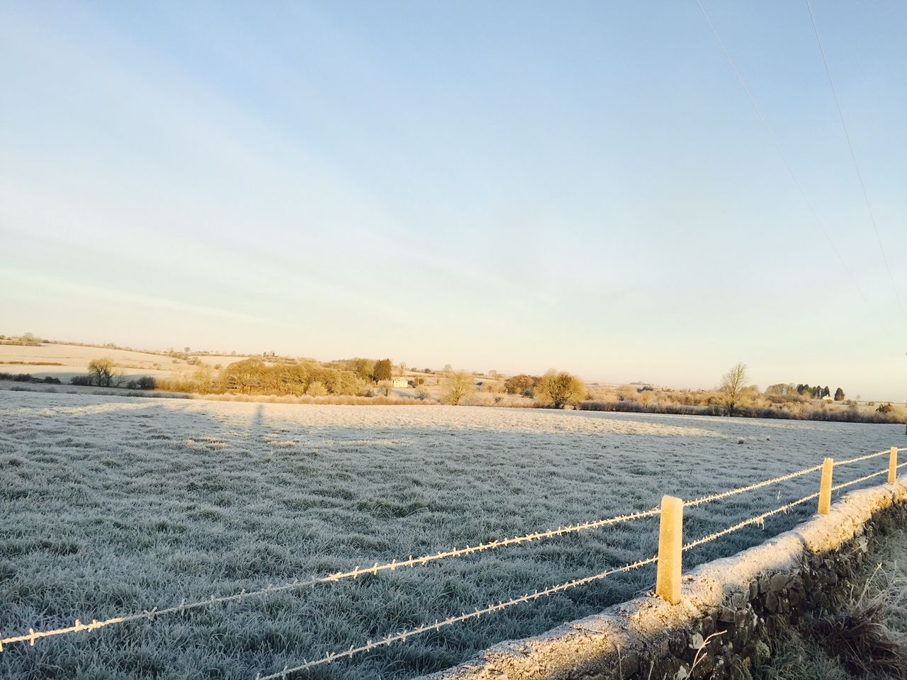
Frost and some icy patches will develop as overnight temperatures fall to between -2° and 2°. Some mist and fog will form in places as light and variable breezes fall calm at times, the forecaster adds.
Tomorrow
Tomorrow will start mostly dry with frost and fog lingering in parts; however, hazy sunny spells will develop especially in western coastal counties where there will be an ongoing risk of an isolated shower, Met Éireann says.
Cloud will increase in Munster through the afternoon with patchy rain and drizzle extending from the south by evening.
It will be a cold, raw day with highs of just 1° to 5° as light variable winds fall calm at times; however, they will increase moderate to fresh along southern coasts by evening.
It will remain mostly dry elsewhere with mist and fog patches forming in light to moderate northerly winds, increasing fresh to strong at times on southern coasts.
Wednesday
Wednesday morning will see rain and sleet slowly clear southeastwards. Brighter spells in the northwest will extend southeastwards, becoming mostly clear across the country by evening.
Highest temperatures of 4° to 7° are expected in moderate to fresh and gusty northerly winds.
Wednesday night will become mostly dry and clear with just isolated showers in the north and east.
Lowest temperatures will drop to between -2° and 2° with a risk of frost and icy patches in moderate northerly winds easing light northwesterly by morning, according to Met Éireann.
Christmas Eve
Christmas Eve will be mostly dry with sunny spells. Cloud will increase along northern and western coasts by afternoon with the risk of isolated light showers.
Highest temperatures of 4° to 7° are forecast in a mostly light northwesterly breeze.
Lowest temperatures of -2° to +3° are expected, coolest in the southeast with frost developing for a time in light west to southwest breezes.
Christmas Day
Christmas Day will be mostly cloudy and dry with just the risk of an isolated shower on the west coast.
Highest temperatures of 6° to 9° are forecast in moderate to fresh southwesterly winds, Met Éireann concludes.