Cold conditions ahead with sharp frost in places

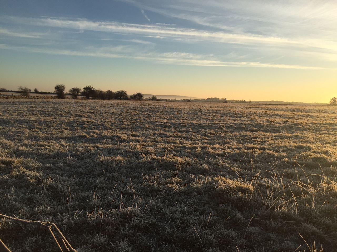
The coming days will be drier than it was earlier this week, but it will be noticeably colder, with the potential for sharp to severe frost in places.
Today, Friday, January 17, is starting off with some frost and ice, but this will clear as the morning progresses. It will remain cold today, with sunny spells and some scattered showers.
These showers will be mainly of hail or rain, with the risk of some isolated thunder. Some sleet or snow may occur in parts of Ulster, though with limited accumulations.
Tonight will be cold, calm and clear, with widespread sharp to severe frost, and icy periods. Temperature values will be as low as -3° to -4° in most places. Some fog will appears later on, mainly in the south-west and midlands.
Tomorrow, Saturday, January 18, will see frost and fog clearing to give away to a dry, calm and mostly sunny day. The afternoon will be cold, with highs of only 3° to 7°.
Saturday night is expected to be very cold and frosty, with minimum values of -3° to -4°. Some fog will set in also, mainly across the midlands.
Monday, January 20, will also start frosty, but that will clear and give way to a mostly dry day, with a mix of cloudy and sunny spells. The midlands and the south-east will see the brightest conditions, and it will not be quite as cold, with highs of 7° to 10° in light to moderate south-west breezes.
Turning to Tuesday, January 21, and there will be some frost in the south to begin the day, but generally it will be duller, wetter and less cold, with patchy rain, mist and local fog. Highest temperatures will be 9° to 11° in light to variable mainly westerly breezes.