Cold and windy weather set to continue over weekend

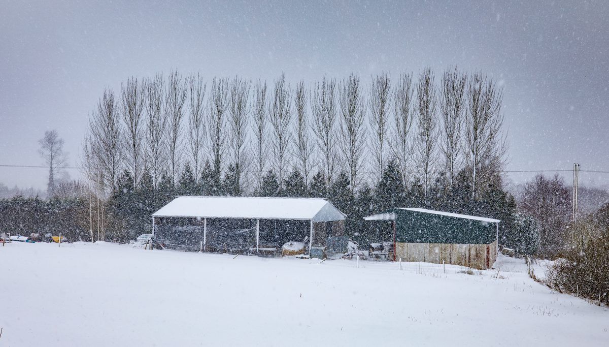
A mix of cold and windy weather is expected to continue for much of the country over the weekend.
Yesterday (February 11) Met Éireann issued a Status Yellow warning for snow/ice for Connacht; Carlow; Kildare; Kilkenny; Laois; Longford; Wexford; Wicklow; Offaly; Westmeath; Clare; and Tipperary.
This warning will end at 8:00am this morning with heavy accumulations of snow in most areas.
There is also a Status Yellow marine gale warning in place for all coastal areas.
Today
The national forecaster has said that today (Friday, February 12) will be cold and breezy with a few snow flurries and rain in southern coastal areas.
Ice and lying snow will lead to hazardous conditions in some areas, mainly in the west. It will become dry in most parts during the afternoon but patchy rain will persist in southern coastal counties.
Temperatures today are expected to reach highs of 2° to 5° generally in strong and gusty southeast winds.
Tonight
Tonight will be cold and windy with heavy rain developing in the southwest and west, extending gradually eastwards across the country overnight and turning increasingly to snow in the midlands, north and east.
Minimum temperatures tonight will be -2° to +3° generally but a few degrees higher in the southwest.
Saturday and Sunday
There will be sleet and snow in the north and east for a time tomorrow morning (Saturday, February 13).
Elsewhere, there will be outbreaks of rain and drizzle as less cold air begins to move in from the Atlantic.
There will be a contrast in temperatures with highs of 1° to 4° in the north and east but ranging 6° to 10° in southern and western counties with strong to gale force southeast winds.
It will continue windy overnight on Saturday with any lying snow remaining in the north and east continuing to thaw. There will be scattered outbreaks of rain with heavy falls at times in south Munster.
Temperatures will continue to rise overnight, ranging from 7° to 11° by dawn on Sunday.
It will be mild despite the inclement weather with highs of 10° to 13°. The rain will clear by Sunday evening with scattered outbreaks of rain returning for the overnight period.