Why the Department doesn't use Google to measure your hedges
Google may know pretty much everything, but it’s knowledge of field boundaries, hedgerows and forests isn’t good enough for the Department of Agriculture.
The Minister for Agriculture Simon Coveney was asked as to why a ‘snapshot evaluation’ using Google Earth and the Forest Service digital mapping systems wasn’t used, as opposed to just the digital mapping systems, for criteria when it came to the single farm payment.
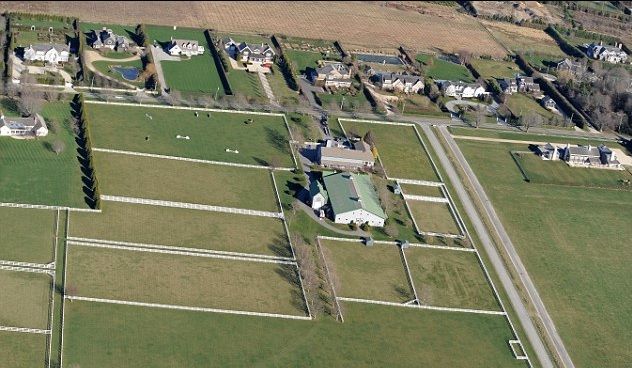
Minister Coveney says that while the Department mapping systems are underpinned by ortho-photography, a comparison cannot be made between its datasets and the trees and forests depicted on Google Earth.
The National Forest Inventory estimated the current tree cover to be 731,650 hectares or 10.5% of the total land area of Ireland, he says.
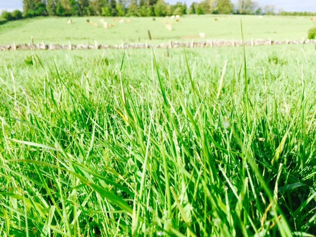
The Department’s mapping datasets contain defined boundary information in respect of all forests; they do not contain information on hedgerows or individual trees (including those in scrub-land), the Minister says.
Google Earth however has no boundaries recorded in respect of forests, or information on hedgerows or scrub land; it has no measured data against which Department data can be compared.
However, the Minister says that the Department is responsible for issuing tree felling licences and, thus, for policy on deforestation.
In this respect, he says it must take into account the environment, landscape, sustainable forest management, and all relevant legislation.
Apart from normal forestry operations, with certain exceptions, a licence is also required to fell trees in natural woodlands, trees situated in scrubland, or individual trees, he says.
The Minister says that the Department has a well-established policy of requiring replanting after felling, this in order to protect woodlands, promote sustainable forest management, avoid excessive carbon credit costs, and protect the substantial State investment in afforestation programmes.
Where the landowner does not wish to replant the area felled, he may afforest an alternative site, he says.
The Minister also says that any project that is for commercial gain is required to replant the site or to afforest an alternative location (e.g. housing development, farming, industrial, wind farm, etc.).
Forestry Programme 2014-2020
The recently launched €262m Forestry Programme 2014-2020 aims to facilitate the planting of almost 44,000 hectares of new forests, the Minister says.
It incorporates Agro-Forestry, Native Woodland Establishment and Woodland Improvement Schemes, a NeighbourWood Scheme, and a Native Woodland Conservation Scheme.
The aim of the Native Woodland Conservation Scheme is to support the protection and enhancement of existing native woodland, primarily to protect and enhance native woodland ecosystems, the Minister says.
It is focused on restorative management of existing native woodlands and a strong priority will be placed on important native woodland types and opportunities for habitat linkage, and on environmentally sensitive areas, with a view to realising wider ecosystems services such as water protection, he says.
“Given the safeguards that the current legislation and policy provide, and the commitment provided by the Forestry Programme 2014-2020, I am confident that my Department is in a position to protect the landscape, environment and national forest estate, while meeting the demands of successfully developing the Agriculture Sector through the various schemes and reports such as Food Harvest 2020.”