Weekend weather: Wet and windy with milder temperatures from Sunday


The weekend weather forecast indicates that low pressure will continue to dominate for the next couple of days, with spells of wet and sometimes windy conditions but it is expected to turning milder from Sunday.
There is a Status Yellow - Ice Warning for Antrim, Armagh, Down, Fermanagh, Tyrone, Derry, with clearing skies and scattered wintry showers bringing icy patches and some disruption. That warning is in place until 11:00a.m today, Friday, January 9.
Clearing skies and scattered wintry showers bringing icy patches and some disruption.
Starting with today's forecast from Met Éireann, it will be cold to start with frost and icy patches, slow to clear. A bright day overall with spells of sunshine and scattered showers, mainly affecting Munster, and parts of Connacht and north Ulster.
The showers will be a wintry mix of rain, hail and sleet, with a little snow possible over higher ground and a chance of isolated thunderstorms.
Highest temperatures will range from 3°C to 7°, coldest in the north-east, in mostly light to moderate westerly winds, increasing fresh to strong and gusty north-westerly in the south-west.
It will be cold and mostly dry tonight, with scattered wintry showers continuing mainly for northern and western parts, though some showers will extend further eastwards at times.
Lowest temperatures of -2° to +3°, coldest in Ulster, with frost and ice patches developing. Light westerly breezes will allow patches of fog or freezing fog to form in places, with moderate to fresh north-westerly winds in the south and south-west.
Weekend weather
Starting cold tomorrow morning, Saturday, with frost, ice and fog slow to clear. Dry and bright for most with isolated showers mainly in the north-west, turning wintry at times.
Cloud will build from the west through the afternoon with outbreaks of rain and drizzle following tomorrow evening. Highest temperatures will range from 4° to 8° with mostly light south-westerly breezes, backing southerly tomorrow evening.
On Saturday night, rain and drizzle in the west will extend eastwards, becoming widespread. Lowest temperatures of 0° to 2° in the north and east initially, becoming milder with the rain with lowest temperatures generally of 3° to 7°.
Light to moderate southerly winds will increase fresh to strong.
On Sunday, it will be windy with widespread outbreaks of rain continuing, turning heavy in places with a chance of hail. It should be milder with highest temperatures of 8° to 12°.
Southerly winds will be fresh to strong reaching near gale force at times.
Outbreaks of rain will gradually clear north-eastwards on Sunday night with showers and clear spells following. Lowest temperatures of 5° to 8° are expected, with south-westerly winds easing moderate to fresh.
Next week
Monday will bring a mix of sunshine and showers, merging to longer spells of rain at times. Highest temperatures will range from 8° to 11°, with moderate to fresh south-westerly winds.
For Tuesday, there is uncertainty in the details, but it is likely to bring a wet start with widespread outbreaks of rain, clearing to bright spells and showers. Highest temperatures of 7° to 10° with light to moderate south-westerly winds.
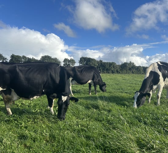
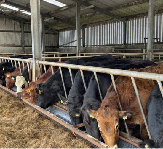
Farming
Currently well drained soils are saturated while most moderately and poorly drained soils are waterlogged apart form areas of the north-east which are saturated.
There will be a steady deterioration in soil conditions over the coming week, with poorly and moderately drained soils becoming fully waterlogged for a time before moderately drained soils show a slight improvement becoming mostly saturated by the end of the week.
Meanwhile well drained soils will remain saturated.