Weekend weather forecast: Unsettled with sunshine and heavy showers

There is a mixed bag in terms of the weather forecast for the weekend with some sunshine predicted, albeit accompanied by heavy downpours in some areas.
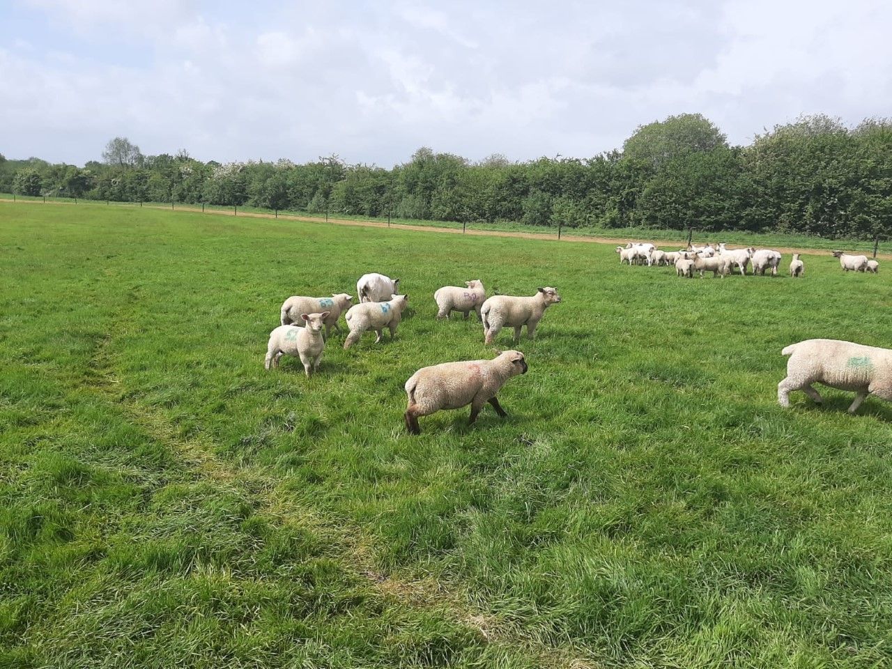
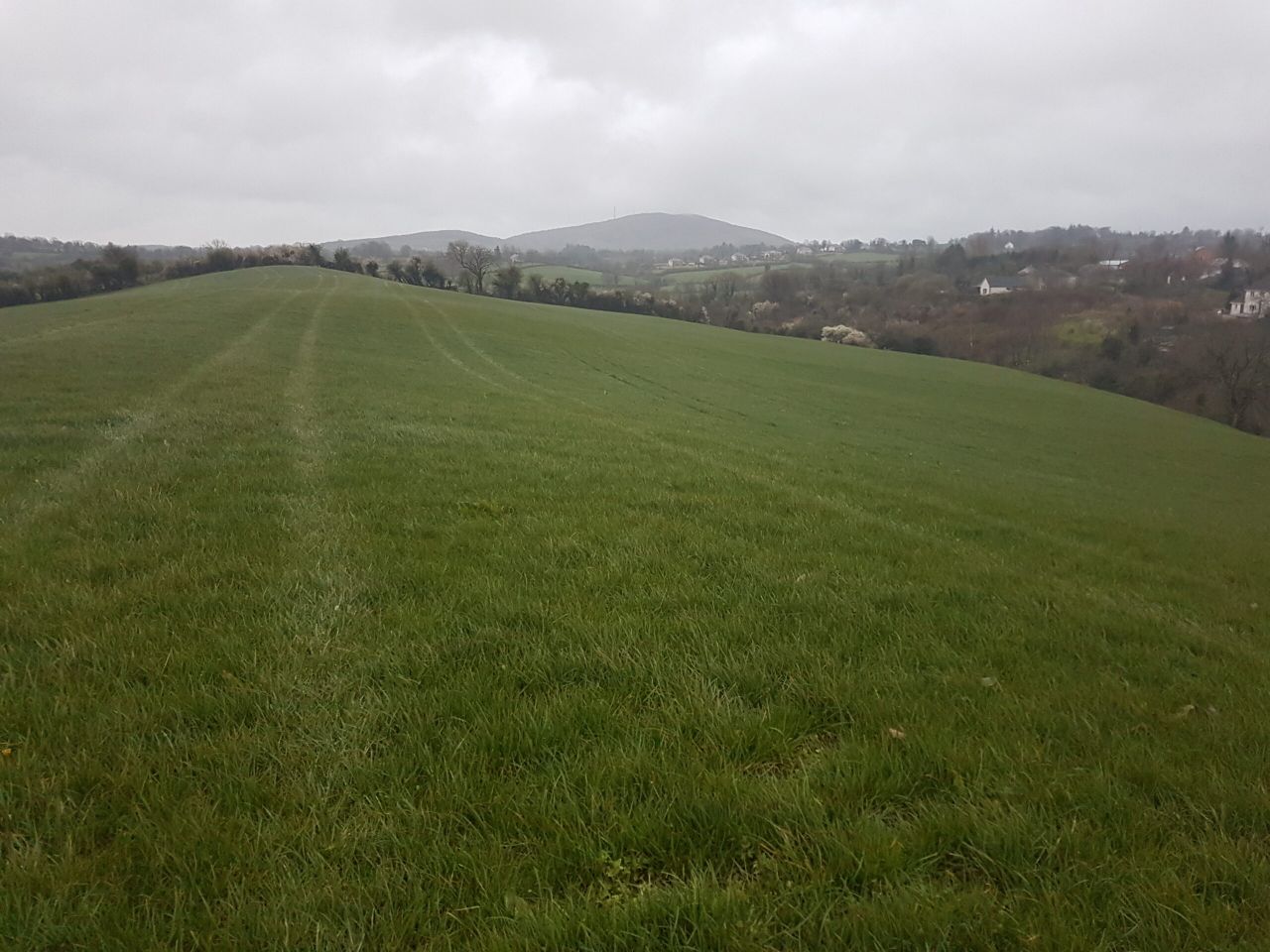
Soil conditions are likely to stay saturated for the week ahead and the best of the weather will likely be seen in the east of the country.
According to Met Éireann, it will be mainly dry early this morning (Friday, May 14) with patches of mist and fog.
These will clear with sunny spells developing and there will be scattered showers today, heaviest in Leinster, Ulster and east Connacht.
There is also a risk of thunderstorms in Ulster. Rain will develop in the southwest in the late afternoon and spread over Munster this evening.
Highest temperatures today will range from 11° to 15° with light breezes.
Friday night and Saturday weather forecast
The national forecaster says that tonight, rain will continue to spread northwards and will affect most areas overnight.
Showers will follow into west Munster by Saturday morning with lowest temperatures of 5° to 7° with light to moderate easterly breezes.
There will be further outbreaks of rain over the northern half of the country throughout Saturday morning.
Sunshine and showers in Munster, will extend northwards and become widespread in the afternoon, heaviest over the southern half of the country, with some of them being thundery or with hail.
Highest temperatures tomorrow will be from of 11° to 14° with light breezes.
On Saturday night, showers will mostly die out and there will be some clear spells over the northern half of the country. It will be cloudier further south with some rain or drizzle near south and southeast coasts.
Lowest temperatures on Saturday night of 5° to 8° with mostly light northeast breezes.
Sunshine and showers on Sunday
Sunday will bring sunny spells a scattered showers, becoming widespread during the afternoon, some heavy or thundery.
Highest temperatures on Sunday will be from 12° to 15° with light to moderate northerly breezes. On Sunday night, showers will mostly die out and lowest temperatures will range from 5° to 7°.
Monday will bring sunny spells and showers again, most frequent and heaviest through the afternoon and early evening with highest temperatures of 11° to 14° with moderate westerly winds.
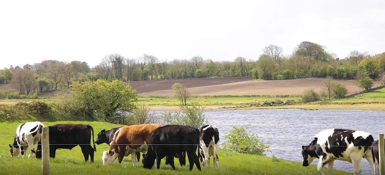
Drying and field conditions
Met Éireann says that drying conditions will generally be moderate to poor in the week ahead, with fairly widespread showers generally.
However, eastern parts of the country are likely to fair best later in the period, as wind out of the west or northwest limits the showers closer to eastern coasts.
Soils in the northwest are close to saturation with degraded trafficability locally. They will likely stay close to saturation here through the week ahead.
Elsewhere values generally range from 5 to 30mm deficits and trafficability is good with the highest deficits being in parts of the west and the northeast.