Weekend weather forecast: Dry and clear with warm temperatures


The weekend weather forecast looks like there will be continuation of dry and clear conditions with warm temperatures across most of the country.
Starting with today (Friday, June2), Met Éireann has said that any mist or fog will clear away quickly this morning to leave a largely sunny day, though there will be some cloud at times, especially in the north and east at first and later in the southwest.
Highest temperatures will range from 21° to 24°C in the western half of the country. It will be cooler further east, especially near the Irish Sea, with highest temperatures of 16°-20° in mostly moderate easterly winds.
It will be dry overnight with mostly clear skies. Some localised fog will develop in light easterly or variable breezes with lowest temperatures of 5° to 10°.
Weekend weather forecast
Looking ahead at the weekend weather forecast, tomorrow, Saturday, will be another dry, mild day with plenty of sunshine. Cloud will bubble up at times, especially over Ulster.
Highest temperatures are expected to range from 18° to 24° generally, coolest in the east and warmest in the west, all in light to moderate easterly breezes.
Saturday night is expected to be dry and clear overnight. Temperatures should not fall below 8° to 12°. Some mist and fog patches will develop in light easterly breezes.
Sunday is forecast to be mostly sunny and dry with just some patchy cloud at times. A stray light shower can't be ruled out in the north.
Highest temperatures will range from 18° in the east to 24° or 25° in the west and southwest with light to moderate easterly winds.
Sunday night will be another dry night with mostly clear skies. Temperatures are not expected to fall below 8° to 12°. There is a possibility of some fog patches developing again in light breezes.
Bank Holiday Monday looks set to be largely dry and sunny, though cloud will build at times bringing the chance of isolated light showers, most likely in the north.
It will be noticeably milder in the east than the previous day as highest temperatures will range from 19° or 20° in the north and east, to 25° in the west and southwest, all in mostly light easterly breezes.
Outlook for next week
Looking ahead to Tuesday and Wednesday, there is not expected to be much change in conditions with mostly dry and sunny weather.
There will be some cloud at times bringing with it a few light showers. Highest temperatures of 19° to 25° in mostly light easterly or variable breezes.
There is not much change expected for the rest of the week either. Staying largely dry and mild with plenty of sunshine as high pressure remains nearby.
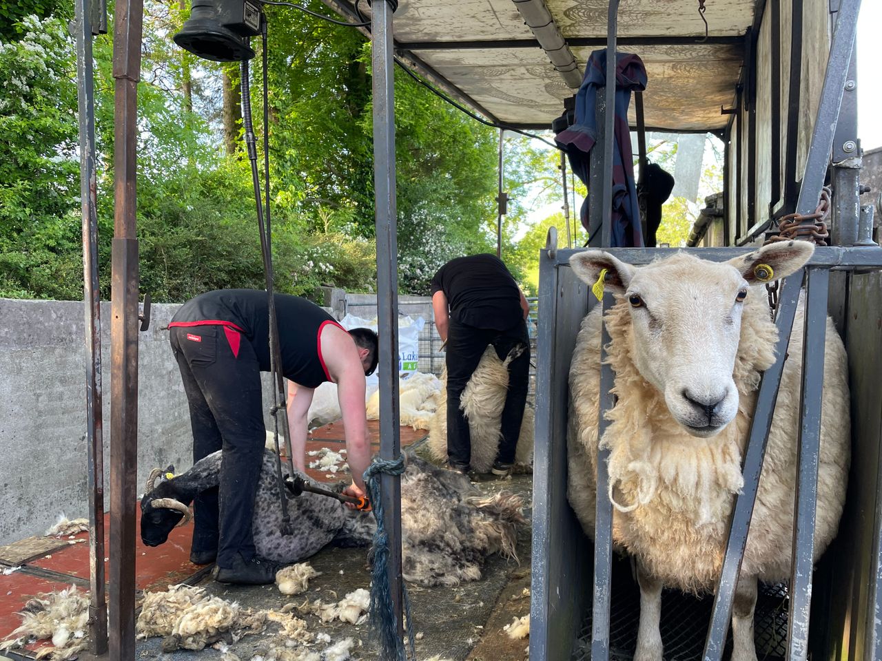
Farming weather
Drying conditions will be good despite mostly light winds as there will mostly dry conditions and above average temperatures with plenty of sunshine.
Similarly, there will be good opportunities for spraying with little to no rainfall and light winds much of the time.
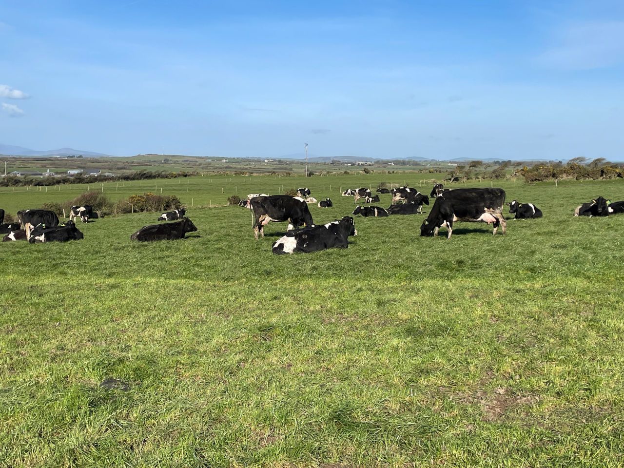
Field conditions
Soil moisture deficits (SMDs) across all soil types currently range from 30mm to 45mm in parts of the north and west and 45mm to 60mm elsewhere.
All soils are trafficable with some restriction to growth. With dry, warm and largely sunny conditions over the coming week, SMDs will generally increase by 10mm to 25mm, likely ranging from 45mm to 65mm, generally, and potentially over 70mm in the parts of the southeast.
Growth will therefore become increasingly restricted and ground conditions will become hard.
The Department of Agriculture, Food and Marine (DAFM) has issued a condition orange high fire risk valid until 06:00p.m on Tuesday, June 6.