Weekend weather: Continuing warm with isolated showers


The warm temperatures which we have been experiencing look set to continue in terms of the weekend weather forecast, albeit with some heavy downpours forecast in some areas.
According to Met Éireann, today (Friday, July 23) will be another very warm or hot day with sunny spells.
Most of the country will stay dry but it is likely a few thunderstorms will break out over southern, central and western counties during the afternoon and evening, bringing some locally heavy downpours where they occur.
Highest temperatures will generally range from 27° to 30°. It will be slightly cooler in east Leinster and south Munster with highs of 24° to 26° due to a moderate easterly breeze.
Any lingering showers in the south and southwest are expected to clear to leave a dry night tonight, with a mix of cloud and clear spells.
It will continue to be humid and warm with temperatures not falling below 15° to 17°, in light northeasterly breezes.
Weekend weather forecast
Looking further at the weekend weather forecast, the national forecaster has said that further sunshine is expected tomorrow Saturday, although it will be hazier in the east.
It will be dry for most areas, with isolated showers developing in Connacht and Munster later in the day.
Highest temperatures will be 23° to 26° generally, slightly fresher along the east coast in a light to moderate northeasterly breeze.
Saturday night will be mostly dry with good clear spells in most areas but some cloud around also.
Temperatures on Saturday night will generally not fall below 13° to 16° in light and variable breezes.There will be sunny spells with some scattered showers developing on Sunday afternoon.
Met Éireann has said it will stay warm on Sunday with highest temperatures of 22° to 26°, but feeling a little more refreshing in light to moderate northerly breezes.
It will be largely dry and clear overnight on Sunday night with just a few showers in northwestern coastal areas.
Once again it will be a mild night with temperatures generally holding above 14°.
Outlook for next week
According to the national forecaster, it will be less humid on Monday.
There will be a fair amount of cloud around with the best of the sunshine in the south and southeast.
Highest temperatures on Monday will typically range from 19° to 23°, warmest in the southeast, with light to moderate northeast breezes.
The showers will become isolated on Monday night with clear spells developing. Overnight temperature lows of 12° to 15°.Looking further ahead, it is expected to be rather changeable up to midweek with a mix of showers and dry spells and temperatures will be back to more average values for mid-summer.
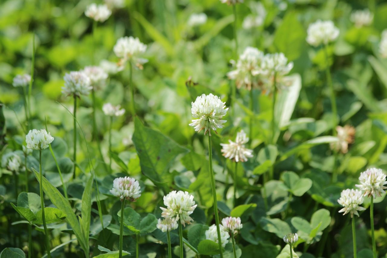
Weekend weather impact on drying and growth conditions
Drying conditions will be generally good through the weekend, with light to moderate breezes limited, rainfall prospects and high temperatures to begin with at least.
However the risk of locally heavy downpours should be monitored especially today, Friday, in the south midlands and Connacht where showers will be most intense.
Scattered showers from Sunday onwards may also hamper drying locally, however they will be the exception rather than the rule, and many areas will see little to no rainfall through the period.
Growth will continue to be increasingly restricted in all soil types with soil moisture deficits ranging from around 30mm in parts of Connacht to above 65mm in parts of the east.
Over the coming week, soil moisture deficits are expected to increase further with values in much of the south and east close to drought conditions.
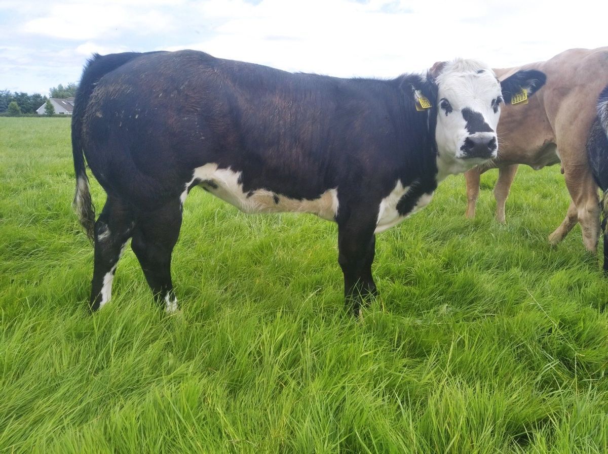
Heat stress for animals
Met Éireann is reminding the farming community that Orange and Yellow High Temperature Warnings are in operation until Friday morning and Saturday morning respectively.
Heat stress on animals should be a consideration. An Orange Forest Fire danger rating is also in operation with a high fire risk deemed to exist in all areas.
This risk phase is expected to peak today Friday, July 23.