Weather: Showery and cool start to week but drier conditions to follow

The start of this week will begin with some light showers and cool temperatures, with a change to drier weather conditions as the week progresses.
According to Met Éireann, it will be generally dry this morning (Monday, February 28) with well-scattered showers and sunny spells for a time. However, outbreaks of rain and drizzle will spread across much of Leinster and east Munster from the south during the morning.
The rain will clear into the Irish Sea through the afternoon, followed by sunny spells and isolated showers from the west. Highest temperatures of 7° to 10° in light to moderate southerly winds, veering westerly as the rain clears.
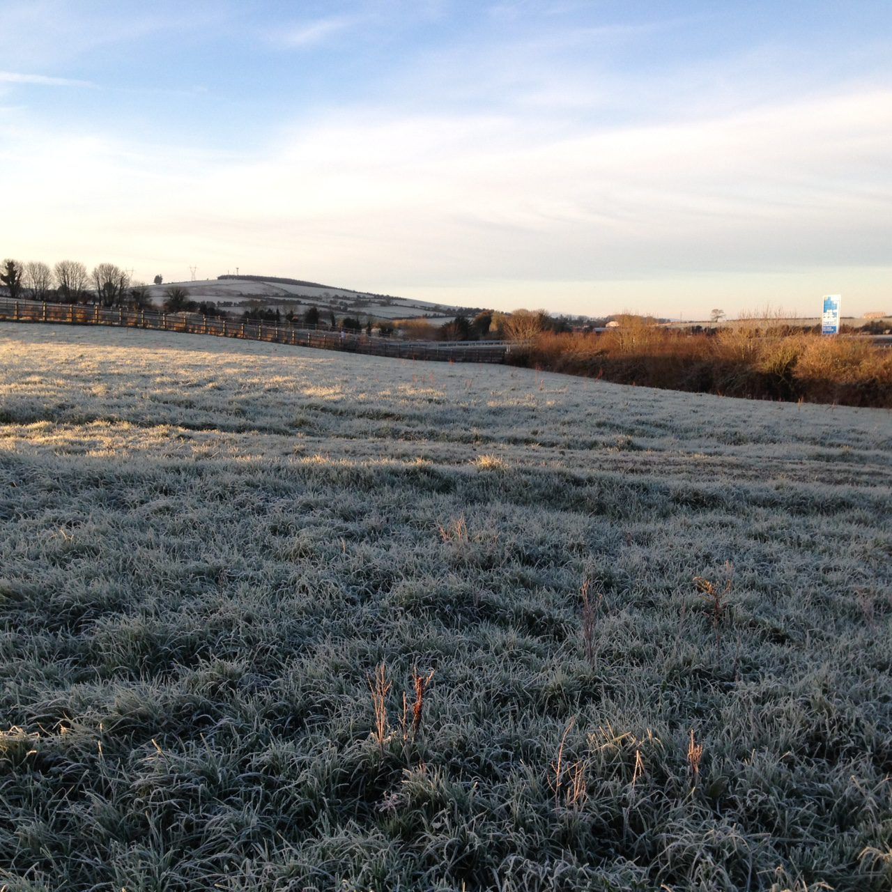
Tonight will be cold, dry and largely clear. Widespread frost and icy patches will develop as temperatures fall to between -2° and +1° in near calm conditions.
Weather forecast midweek
A cold and frosty start tomorrow (Tuesday, March 1), but any frost and ice will clear to leave a dry and bright day with long spells of sunshine.
However, some patchy cloud will develop over the northern half of the country during the afternoon. Highest temperatures of 7° to 9° in light to moderate northeasterly or variable winds.
Tuesday night will be another cold and generally dry night with long clear spells, though it will turn cloudier overnight with isolated patches of drizzle in the east and south.
Lowest temperatures of -2° to +2°, with frost and ice patches developing in a light easterly breeze.
It will be generally cloudy on Wednesday (March 2) with scattered patches of light rain and drizzle spreading from the south.
More persistent rain will move into western and southwestern coastal counties in the evening. Highest temperatures of 8° to 10° in light to moderate southeasterly winds.
Rain will spread northeastwards across the country on Wednesday night. Clear spells and scattered showers will follow into Connacht and Munster as the rain clears overnight. Lowest temperatures of 2° to 5° in light winds.
Outlook for later in the week
Rain will gradually clear from the east and north through Thursday morning and afternoon, leaving a mix of sunny spells and scattered showers, most frequent and prolonged over the western half of the country.
Highest temperatures on Thursday are expected to range from 7° to 10° in light to moderate northwesterly winds.
It is expected to be a cold and generally dry night on Thursday night with long clear spells and just isolated showers, mainly near western and northern coasts. Lowest temperatures of -1° to +2° in light westerly winds.
The national forecaster has said that it will be another bright day on Friday, with sunny spells and scattered light showers. Highest temperatures of 6° to 9° in a light breeze.
Next weekend, high pressure will build across the country, bringing plenty of dry and bright weather with long sunny spells. However, current indications suggest that another spell of rain will cross the country later Sunday.