Weather forecast: Severe frosts, icy conditions and possible snow this week

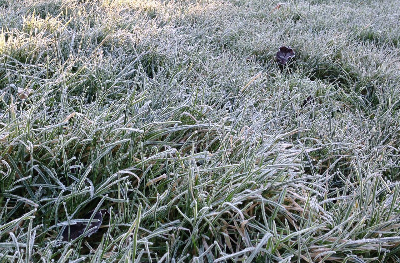
There will be a significant dip in temperatures this week with the weather expected to turn very cold as an "an Arctic airmass" sets in, Met Éireann has warned.
This will "bring sharp to severe frosts", the meterological service has said, and there is likely to be showers of hail, sleet and snow during the second half of this week.
Today (Monday, December 5) it will be cloudy with scattered showers and dry and bright spells forecast for the west. Temperatures will likely be between 5-9° and some parts of the country will have a light to moderate northeasterly breeze.
Soil temperatures to fall
Although average soil temperatures were 2-3° above normal last week this will not be the pattern this week, with temperatures expected to dip 4° below the seasonal average throughout this week.
According to Met Éireann this will bring average soil temperatures closer to normal seasonal average temperatures.
As a result, widespread frost is expected on Monday night as temperatures drop to between -2° and +3° with the coldest temperatures likely to occur in the north.
Weather forecast for the rest of the week
It is expected to be "drier than average" for large parts of the country this week with just around 0-5mm of rain forecast. However, the north may be the exception to this as there is a potential 20-40mm of rain forecast for the week ahead.
Tomorrow (Tuesday, December 6) it will be largely dry and there could be a mix of sunny spells and showers also, these being more likely in the east and south coast. Overall, it will feel chilly, with highest temperatures likely to reach between 4-8° and a light northerly wind expected in most areas.
It will be "very cold" on Tuesday night with widespread frost forecast.
Snow forecast
On Wednesday (December 7) Met Éireann has warned it is likely that snow could fall on higher ground signaling that it will be cold during the day with temperatures of between just 2-5° with also a light north to northwest wind persisting.
Although there may be spells of dry and sunny weather in most places there is also likely to be showers in northern and western coastal regions.
But by night, the meteorological service is advising that it will be "bitterly cold" and that temperatures could drop below 0° - potentially to -3° or -4°.
There is also likely to be sharp to severe frost and caution is advised as this will lead to ice on untreated surfaces. During the night there could be showers which, because of the sharp drop in temperatures, will turn to sleet or snow in some regions.
On Thursday (December 8) it will remain cold with temperatures very low, however there could be some sunny spells in between scattered showers of sleet, snow and hail. These will be largely located to coastal areas of the northwest, north and east for the latter part of the day.
By nightfall temperatures will drop sharply and a "bitterly cold night" is forecast by Met Éireann with "sharp to severe frost with icy stretches" set to be in place. It is likely that temperatures will be in the region of -4° to -2° although most areas will remain dry and clear with some wintry showers expected in coastal areas.
On Friday (December 9) it will continue to stay very cold towards the end of the week. There may be some sunny spells but seasonal, wintery showers are likely to be a key feature throughout the day.
Met Éireann has highlighted in its latest national weather forecast that all soils currently "are saturated to waterlogged" and there will be little change in soil conditions over the coming week and "little to no drying".