Weather forecast: Changeable with sunny spells and showers


The weather forecast for the week ahead looks set to be changeable bringing a mixture of sunny spells and isolated showers.
Starting with today (Monday, June 26), Met Éireann has forecast a mix of scattered cloud, sunny spells and just a few isolated showers.
The cloud will slowly thicken from the west during the afternoon in a moderate westerly breeze. The showers will begin to die out later this afternoon too with highest temperatures of 16° to 20°.
Any lingering showers will clear away in the evening leaving mostly cloudy skies and a light westerly wind.
Later in the evening rain will develop in the southwest along with a freshening southwesterly breeze. Lowest temperatures will range from 11° to 14°.
Weather forecast for later this week
Tomorrow, (Tuesday, June 27) will start cloudy and damp with patches of rain and drizzle throughout.
It will brighten up in the east and south later, but longer spells of rain will develop in the north and west. Highest temperatures of 20° to 24° are forecast in a moderate to fresh southwesterly breeze.
Tuesday night is expected to be a rather cloudy night with spells of rain across western and northern counties.
It will stay a little drier further east before the rain spreads to all areas before dawn. Lowest temperatures will range from 13° to 16° with a light to moderate southwest wind, becoming a little fresher in the northwest.
There will be a wet start to Wednesday (June 28), as a band of rain moves east off the country. By midday however, good sunny spells will develop with isolated showers at times.
Later in the afternoon the showers will become confined to Atlantic coastal counties with the best of the dry weather in the southeast. Highest temperatures will range from 16° to 21° in a moderate westerly breeze.
On Wednesday night, a few showers may linger along Atlantic coastal counties but there will be good clear and dry spells elsewhere.
Westerly breezes will weaken overnight and it will be a little cooler than previous nights with lows of 8° to 11°.
On Thursday (June 29), it will start off mainly sunny and dry but later in the day, more cloud will bubble up with a few isolated showers developing in a westerly breeze.
Highest temperatures are expected to range from 16° to 20° in a light to moderate westerly breeze.
On Thursday night it will be mostly dry with long clear spells, especially in the east. Further west there will be a little more cloud developing with the chance of one or two showers at times too.
Overnight though a band of rain will move over the country. Lowest temperatures of 10° to 14° are expected in a moderate westerly breeze.
Friday (June 30) looks to be rather unsettled with bands of rain moving over the country, turning heavy at times too, especially in the west.
Westerly winds will freshen at times too, with highest temperatures of 16° to 19°.
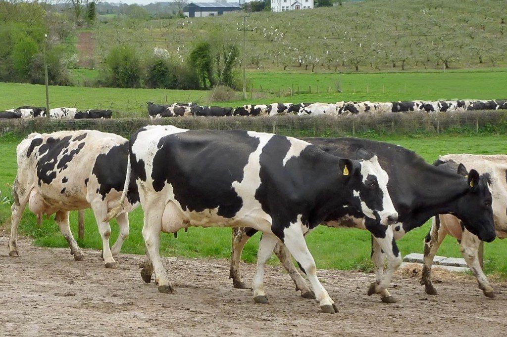
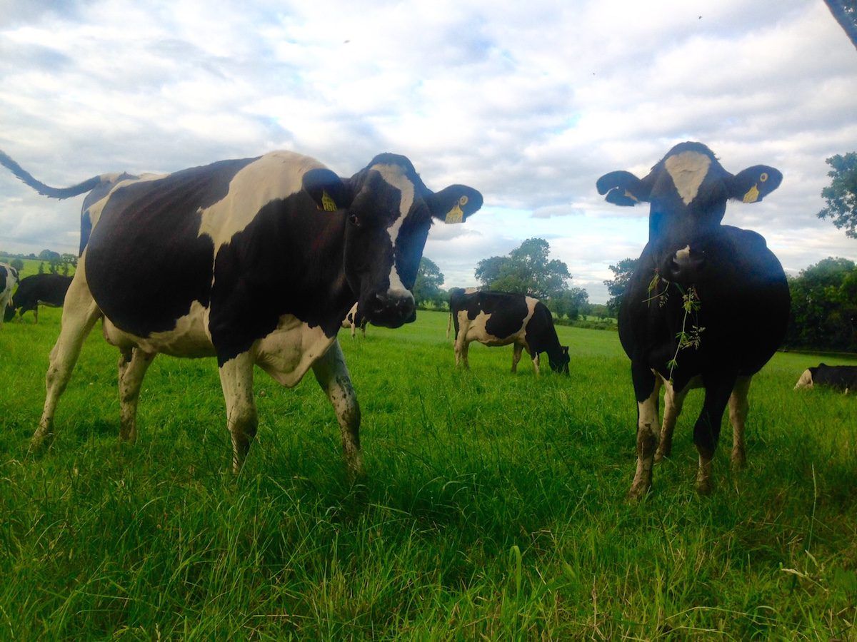
Agricultural conditions
Soil moisture deficits (SMDs) in all soil types currently range from 30-65mm generally, highest in the east and southeast with some restriction to growth.
Localised areas in the north midlands and parts of the southwest have lower SMDs. With above-average rainfall expected mainly over the northwestern half of the country over the coming week, SMDs there will likely decrease by 10-25mm generally.
A smaller reduction is expected further southeast, generally by 5-10mm.
A potato blight advisory is also in effect. Weather conditions conducive to the spread of potato blight will occur at times this week, most noticeable Tuesday into Wednesday, and Friday into Saturday, July 1.
There will be some opportunities for spraying today away from showers, and again later on Wednesday and Thursday, also away from showers.