Thunderstorm warning issued for 9 counties

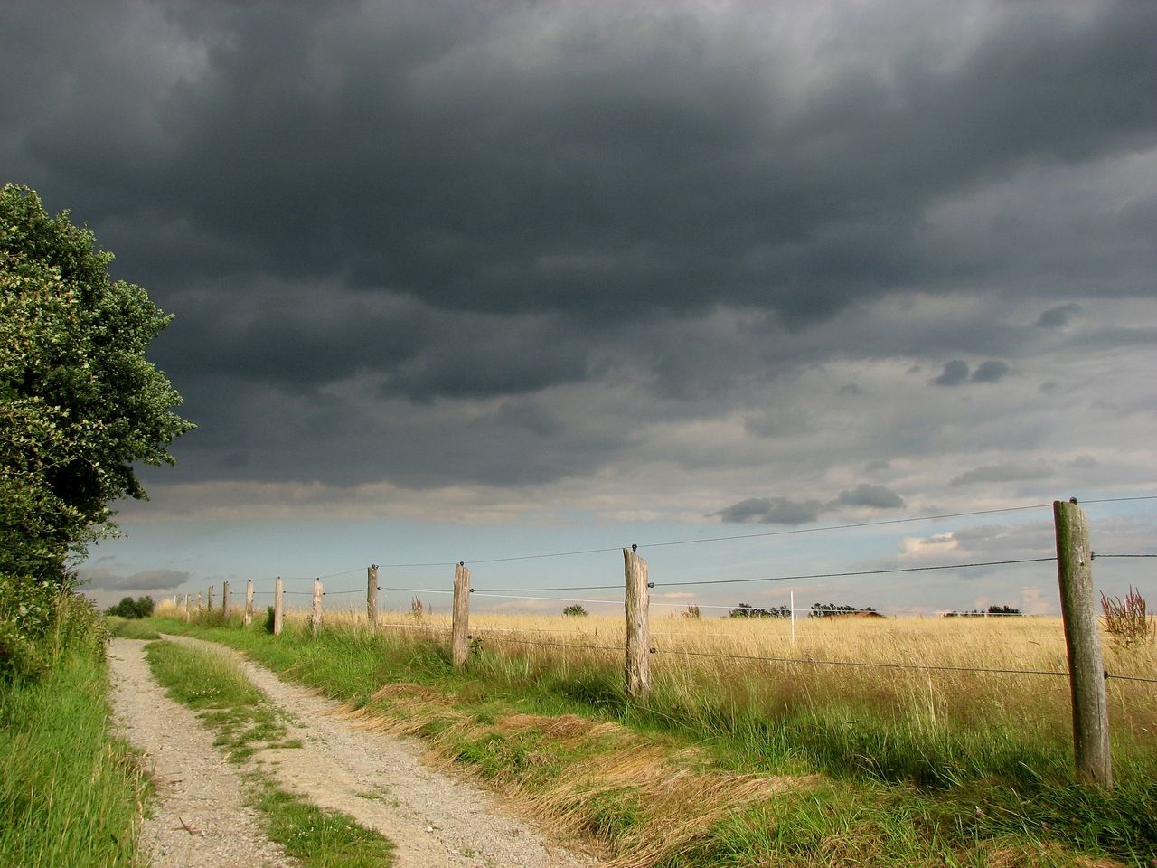
Met Éireann has issued another Status Yellow thunderstorm warning - one of several in the last number of days.
The warning, which is in place from 2:00p.m this afternoon (Tuesday, May 18) until 8:00p.m tonight, affects counties Carlow, Dublin, Kilkenny, Louth, Meath, Wexford, Wicklow, Cork and Waterford.
The national forecaster has said there will be thundery showers with the risk of lightning and local hail.
Gale warning
For Thursday (May 20), Met Éireann has issued a Status Yellow gale warning from Wicklow Head to Dungarvan, to Loop Head and on the Irish Sea, south of Anglesey.
There will be southerly winds veering westerly in direction, which will reach gale force 8, possibly reaching strong gale force 9 in the southwest.
This warning is valid from 8:00a.m on Thursday, to 1:00a,m on Friday.
Weather after thunderstorm warning
Tonight will bring scattered showers, mainly affecting the northern half of Ireland with the odd heavy one persisting early on in the east.
However, many areas will be dry under broken cloud. It will be chilly in places though with some grass frost, as temperatures fall to between 1° and 5°. There will be some mist patches too, in light southerly or variables breezes.
There will be a fresh start to Wednesday with a mix of cloud and sunshine. Some showery outbreaks of rain will develop, mainly through the north and south of the country.
Overall though there will be a lot of dry weather and it will feel mild in the afternoon, with sunshine across the midlands and west. There will be highest temperatures of 13° to 17°, in a mostly moderate westerly breeze.