Temperatures to reach 23° over coming days - Met Éireann


This week will kick off warm and humid, according to Met Éireann, with temperatures reaching 23° in places over the coming days.
Following a summary start, the week will gradually turn cooler from the northeast from midweek onward, the national meteorological office says.
There will be showers or rain at times, mostly in the west, it was added.
Today will be largely dry over the eastern half of the country; however, scattered showers or longer spells of rain will affect western parts, possibly heavy at times later.
Tonight will be mild and humid with variable cloud amounts and scattered showers. The showers will become confined to the east and north overnight.
Lows of 11° to 15° are expected. Mist and fog patches will form towards dawn in the mainly light south to southeast breezes.
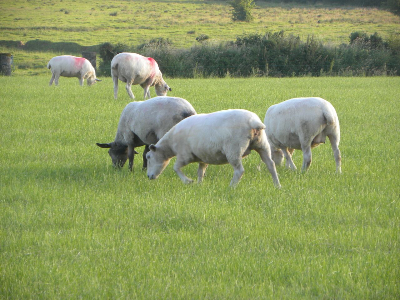
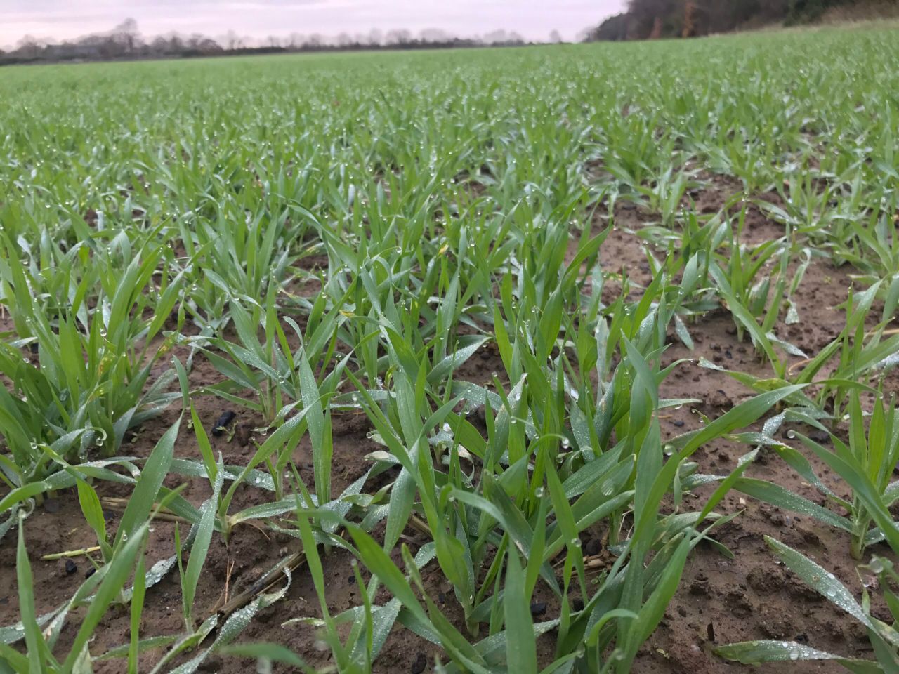
Field conditions
In terms of drying conditions, a mix of cloud with sunny spells and some showers at times from today to Wednesday (most of the showers in the west) with a good indication of generally drier weather later in the week and towards next weekend. All in all, decent drying is expected this week, Met Éireann says.
Today will give some spraying opportunities in the east of the country with patchy rain in the west. Opportunities for spraying will improve for all from Thursday with dry weather and light winds.
Soil moisture deficits are reported at -10 in Donegal. Better trafficability is present further south, with soils generally not saturated in Munster and Leinster.
Greatest deficits of +20 are on the south coast. All soils will get a chance to dry a little this week. By this time next week, deficits will range from +5 in the north to +30 in the south, it was added.
Weather conducive to the spread of potato blight will occur at times from today to Wednesday, especially in western counties.
Tomorrow
Tomorrow will start out cloudy in many areas, but will be largely dry. Warm sunny spells will develop as the day goes on but scattered showers will break out also, mainly over the western half of the country.
Some of the showers could be heavy.
Tomorrow night will see variable cloud and clear spells with scattered showers, mainly in the west, but a few drifting further east. Areas of mist and fog will form in the slack winds. Lows of 12° to 16° are forecast.
Outlook
Wednesday will continue mild overall, with bright or sunny spells and scattered light showers, once early mist and fog patches clear.
Maximum temperatures will range from 20° to 22° generally, but a little cooler in east Ulster and along Irish Sea coasts with the cool onshore east to northeast breezes capping temperatures at 17° to 19°, Met Éireann says.
Thursday will start out dry with variable cloud and sunny intervals, once early mist and fog patches lift.
Some showers may develop in the afternoon though, mainly in Munster and Connacht. Maximum temperatures will range from 16° to 20°, coolest in the east and northeast and warmest in the west.
Light easterly or variable breezes are forecast, Met Éireann concludes