Teagasc launches factsheet on how to establish a riparian buffer zone on your farm

Teagasc has released a factsheet on establishing riparian buffer zones in order to maintain and improve the quality of water bodies in Ireland.
The sheets have been released by Teagasc as part of the Agricultural Sustainability Support and Advisory Programme (ASSAP).
This first tranche of factsheets have been released on the second day of Teagasc Water Quality Week which is running from Monday, March 22, to Friday, March 26.
The protection of waters; (drains, watercourses, streams, lakes, wells, abstraction points for water supplies, karst features, etc.) from nutrient, sediment and pesticide losses is a key part of the nitrates regulations, according to Teagasc.
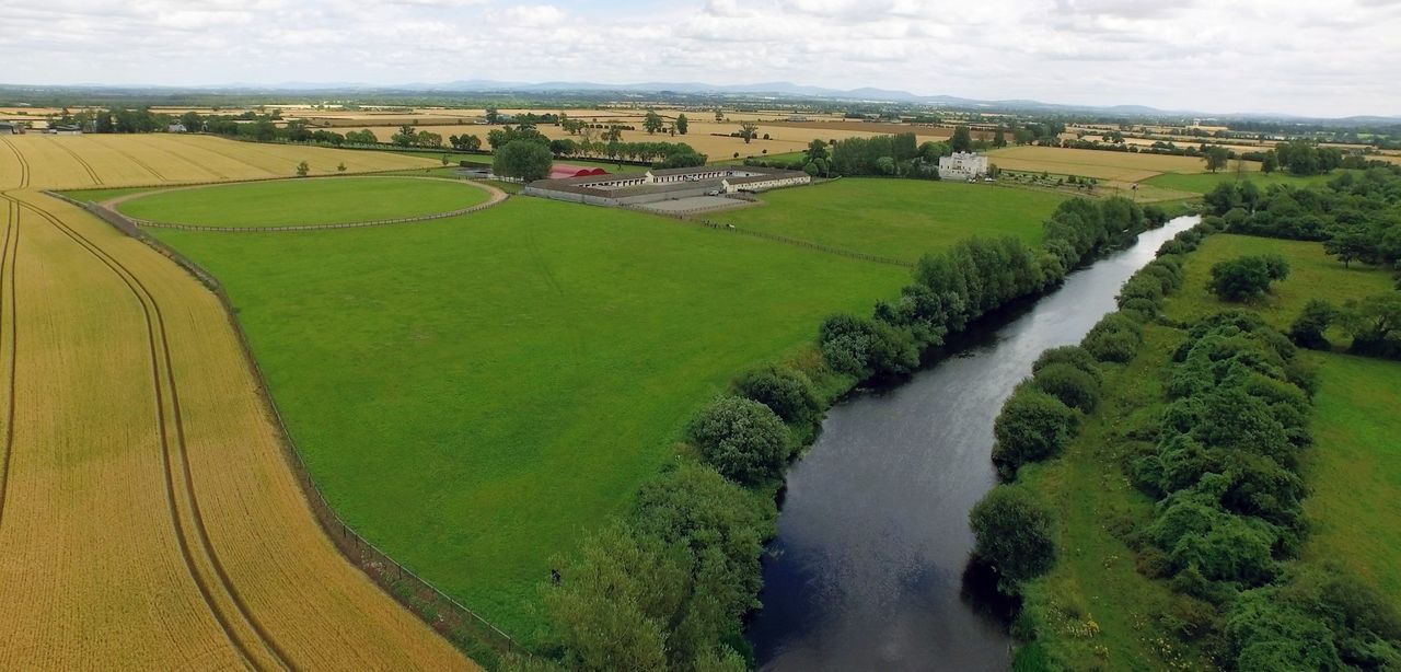
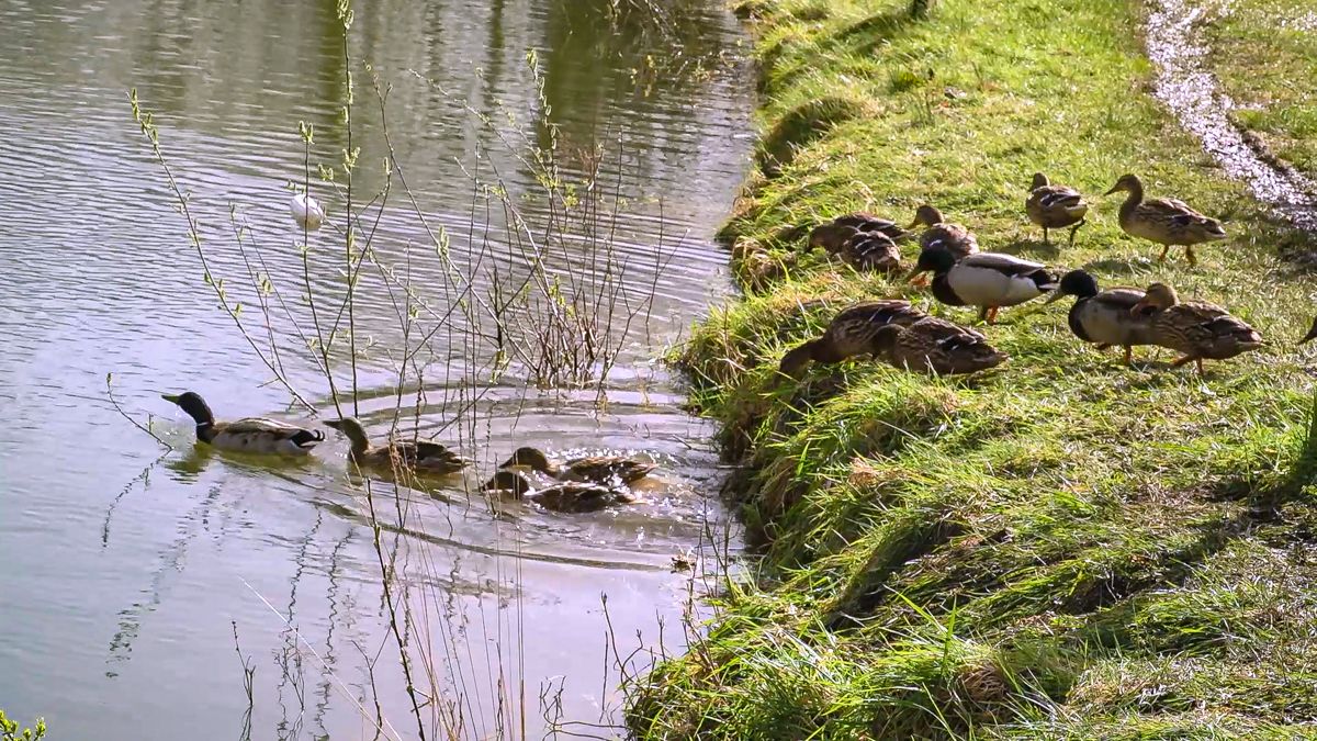
Correctly located riparian buffer zones can minimise the impact of diffuse losses by intercepting the nutrients, sediment and pesticides and break the pathway of surface run-off.
What is a Riparian Buffer Zone?
A riparian buffer zone is an area adjacent to a water body where no chemical and organic fertilisers, cultivation and spraying can be carried out.
These zones vary in width and are required to protect waters from diffuse losses of nutrients, sediment and chemicals.
A riparian buffer zone acts to intercept and take up excess nutrients before they enter a watercourse, where they can negatively impact on water quality.
Teagasc said that riparian buffer zones sited along these areas act to “break the pathway” of potential losses.
Fenced riparian buffer zones adjacent to watercourses, rivers and streams act to protect the water by creating linear buffer zones where little or no agricultural activity takes place.
Establishment of Riparian Buffer Zones
Teagasc offered the following advice on establishing a riparian buffer zone.
Unfenced unfertilised riparian buffer zones, that continue to be grazed/cropped, offer a low level of protection to watercourses.
On sloped marginal land or in natural flood plains the establishment of riparian buffer zones will offer a higher level of protection to watercourses.
Natural vegetation or native wooded or scrubby riparian zones can absorb nutrient, trap sediment and improve water infiltration, while also providing other environmental benefits including increased biodiversity, carbon sequestration and improve river bank stability.