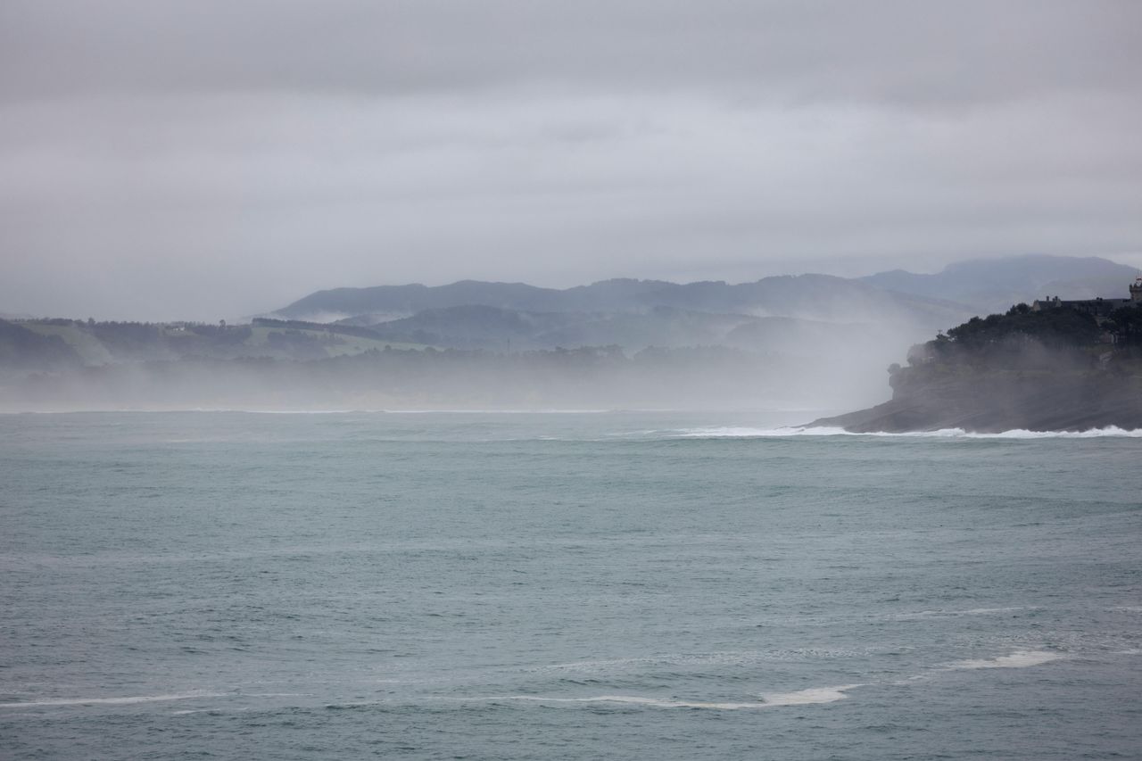
Storm Isha: Ireland under 'tornado watch' as storm continues

A "tornado watch" has been issued by the Tornado and Storm Research Organisation (TORRO) for Ireland today (Sunday, January 21) as Storm Isha continues.
The organisation warned of gusts of 70-80mph, and perhaps 90-100mph in a few spots, even inland.
TORRO also warned of hail and lightning strikes across the country.
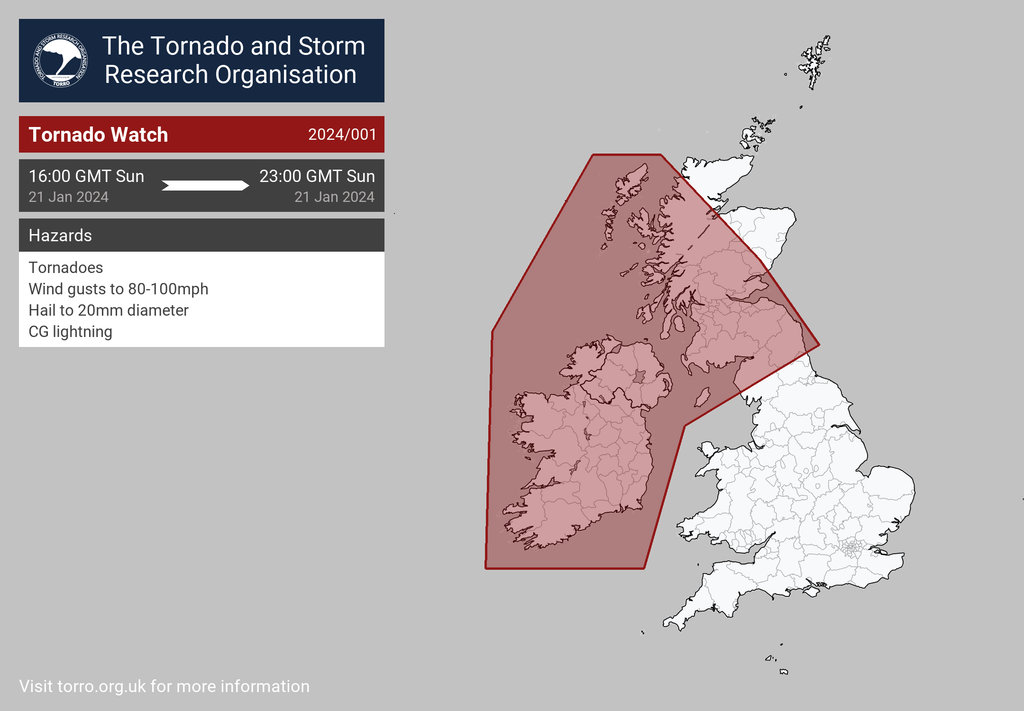
Northern Ireland, parts of Scotland, the Isle of Man and Northern England will also be affected by these possible risks.
According to Met Éireann, all tornadoes can be dangerous and on average there are 10 occurrences in Ireland each year.
Alan O'Reilly from Carlow Weather said that these warnings are "very difficult to forecast" and will be localised.
Storm Isha preparations
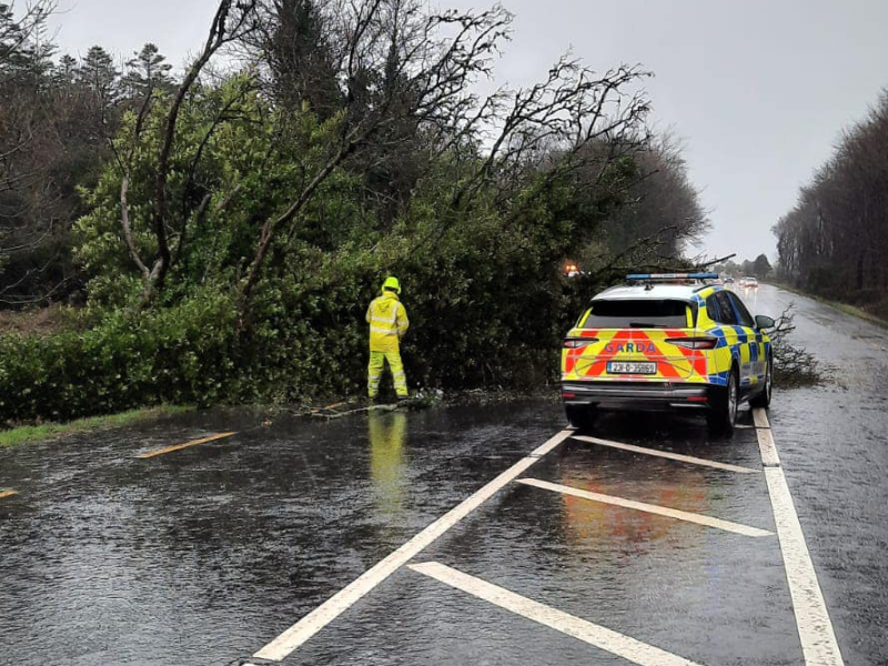
As the country prepares to enter a Status Orange wind warning from 5:00p.m today, with counties Mayo, Galway and Donegal preparing for a Status Red warning, the public are being urged to be "vigilant" and prepare accordingly.
This follows a National Emergency Coordination Group meeting today with the National Directorate for Fire and Emergency Management (NDFEM); Met Éireann; the OPW; and other relevant authorities.
Senior assistant fire adviser in the NDFEM, Paul Rock advised the public living in areas affected by a Status Red wind warning to avoid travelling until alerts have finished.
"All road users should only travel where necessary and be aware of the potential for hazardous travelling conditions.
"Motorists should slow down and be aware of the dangers of fallen trees and debris. High sided vehicles, cyclists and motorcyclists are particularly vulnerable during this time," Rock said.
He added that people should keep mobile phones charged and at hand in case of emergencies and to check for updates where necessary.
“We will continue to monitor the ongoing weather conditions and ensure that all relevant state bodies are responding speedily and appropriately to meet any challenges.
"I would advise everybody to monitor national and local media, including social media, over the course of this evening and tomorrow to keep up to date with information regarding the developing weather situation," Rock said.