Status Yellow thunderstorm warning for 4 counties

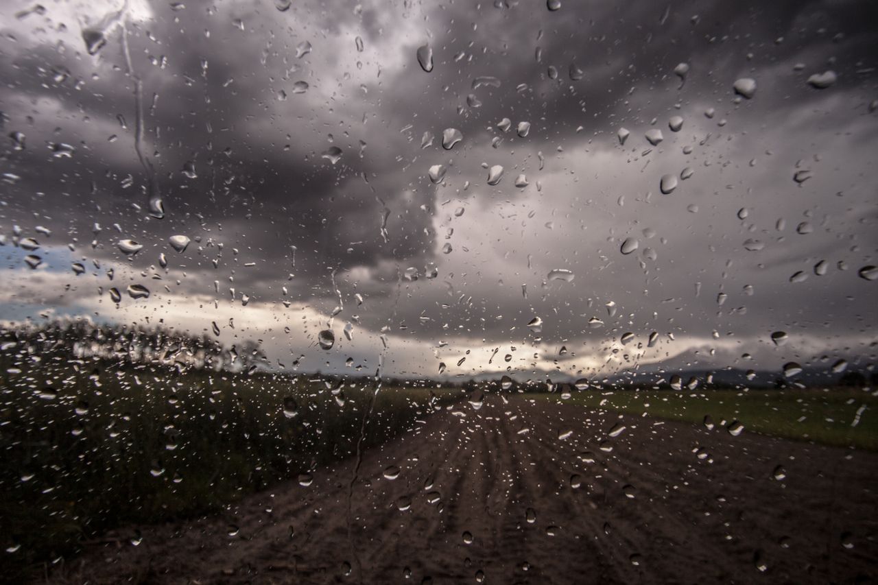
Met Éireann has issued a Status Yellow thunderstorm warning for four counties.
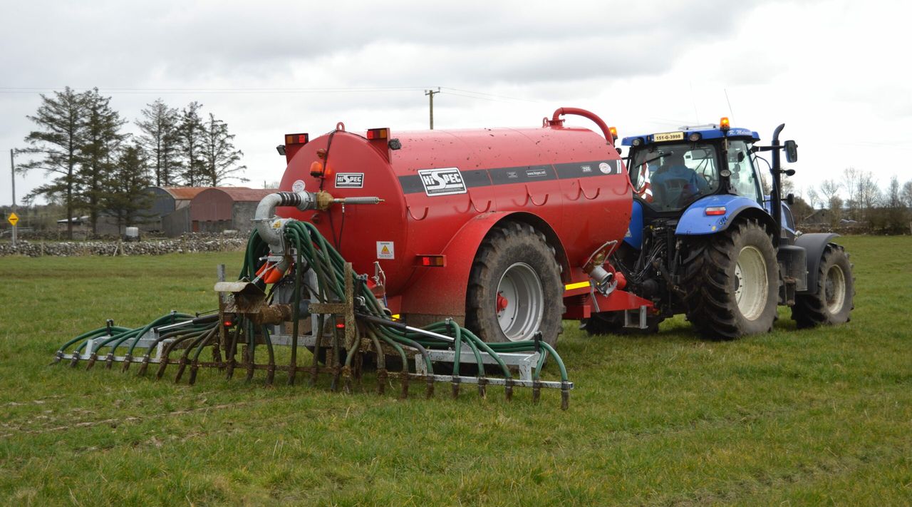
The warning was issued at 2:43p.m this afternoon (Thursday, June 3) and is valid immediately, and counties Clare, Limerick, Galway and Mayo can expect scattered thunderstorms bringing heavy downpours this afternoon.
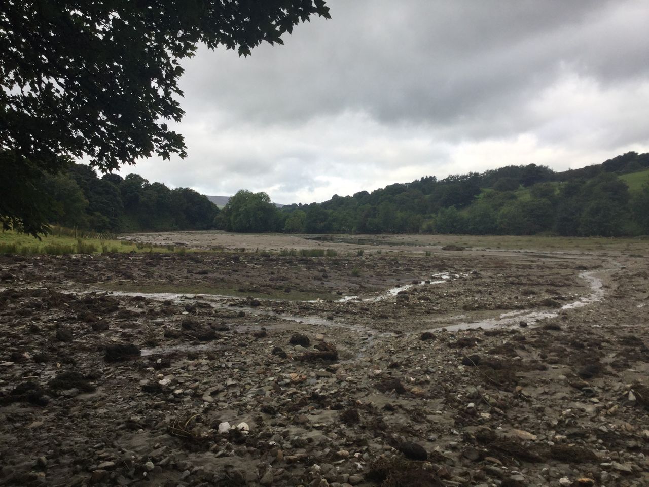
There will also be a risk of spot flooding, the national forecaster has warned. The warning is in place until 6:00p.m this evening.
Weather after thunderstorm warning
Tonight's weather will be mainly dry over the eastern half of the country, with clear spells and just isolated showers possible.
It will be cloudier further west with scattered showers, mainly along western and northwestern coasts and becoming more isolated through the night.
There will be lows of 8° to 10° in light to moderate southerly winds, though fresher along Atlantic coasts.
There will be a mostly dry start to tomorrow (Friday) with sunny spells, but cloud will thicken from the west with outbreaks of light rain developing in Atlantic coastal counties.
It will hold mainly dry further east with some sunny spells. There will be highs of 15° to 18°, in a moderate southerly breeze, easing during the evening.
It will be a mainly cloudy night, with light outbreaks of rain and drizzle over the western half of the country.
It will be drier further east with the best of the clear spells in the northeast. There will be lowest temperatures of 8° to 11° degrees in light southerly breezes with mist patches developing along with hill and coastal fog.