Status Yellow thunderstorm and rain warning issued

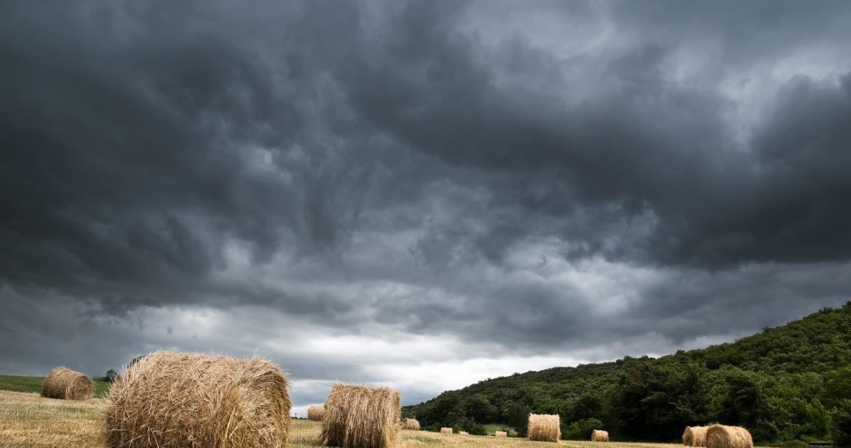
Met Éireann has issued a Status Yellow thunderstorm and rain warning for the full country - which came into effect this afternoon.
Issued at 1:13p.m earlier today (Friday, July 23) the thunderstorm warning came into effect immediately and will remain in force until 8:00p.m this evening.
While the Met Éireann alert is valid for the full country, the counties most at risk include: Wicklow; Kildare; Laois; Offaly; Tipperary; Clare; Galway; Mayo; and Roscommon.
The national meteorological office warns that there will be thunderstorms in places this afternoon and evening with lightning, hail and heavy downpours - resulting in localised flooding and hazardous driving conditions.
Meanwhile, a Status Yellow high temperature warning remains in place for the country, having been extended yesterday. The alert came into effect at 1:00p.m on Tuesday and will remain in place until 9:00a.m tomorrow morning.
Issuing the warning, Met Éireann highlighted that the current high temperatures would continue this week with hot conditions by day and staying very warm and humid at night.
Looking further at the weekend weather forecast, the national forecaster has said that further sunshine is expected tomorrow (Saturday, July 24) although it will be hazier in the east.
It will be dry for most areas, with isolated showers developing in Connacht and Munster later in the day.
Highest temperatures will be 23° to 26° generally, slightly fresher along the east coast in a light to moderate northeasterly breeze.
Saturday night will be mostly dry with good clear spells in most areas but some cloud around also.