Status Yellow low-temperature warning issued by Met Éireann

Met Éireann has issued a Status Yellow weather warning for low temperatures and ice for the entire country for later this week.
It issued the warning today (Tuesday, December 6) alerting the public to the weather warning which will come into effect on Thursday (December 8) at 10:00p.m, and remain in place until 10:00a.m on Friday (December 9).
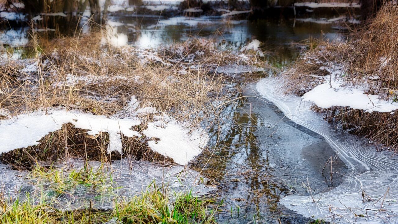
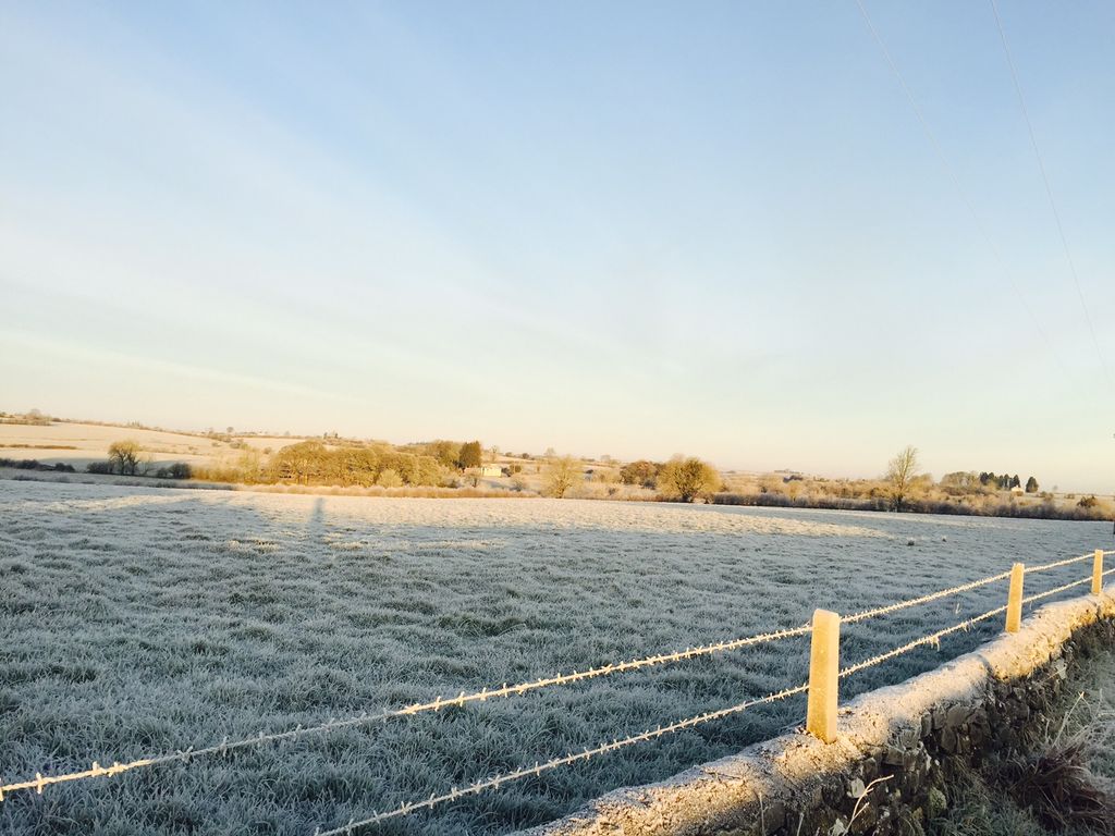
The national forecaster has said that there is likely to be hazardous conditions with a sharp to severe frost and icy surfaces, as temperatures widely fall to -4°C.
There has also been a Status Yellow ice warning issued for Northern Ireland counties Antrim; Armagh; Down; Tyrone; Fermanagh; and Derry. This will be valid from 12:01a.m until 6:00p.m on Thursday.
There is disruption likely due to icy surfaces.
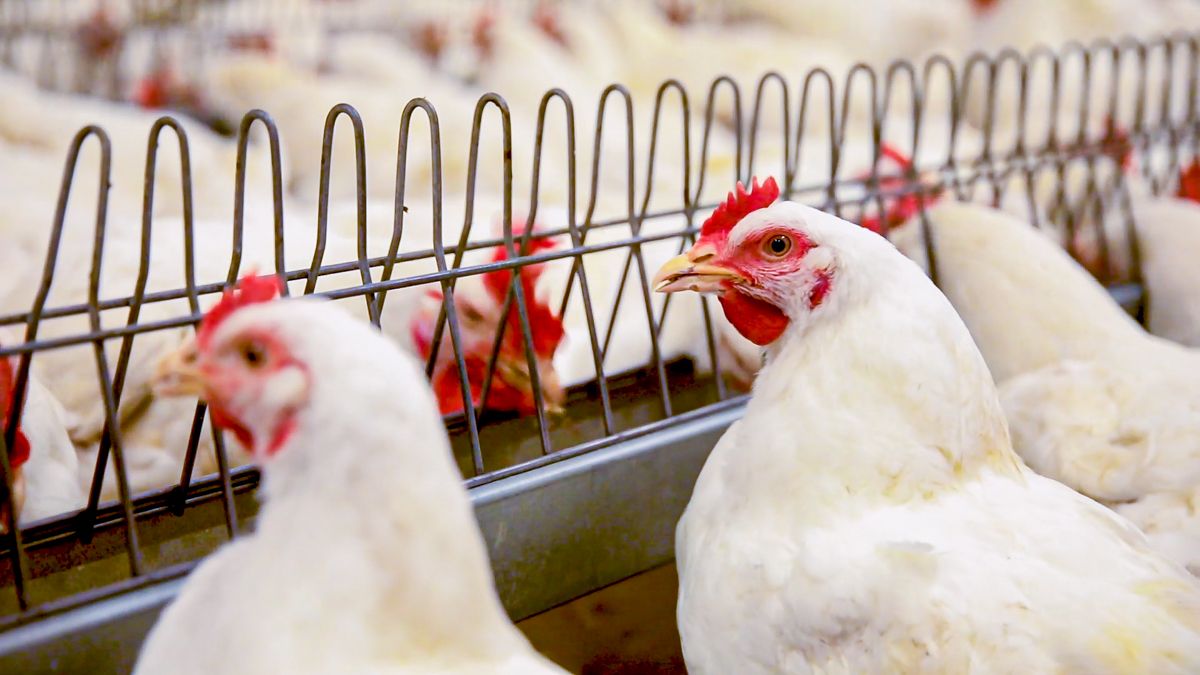
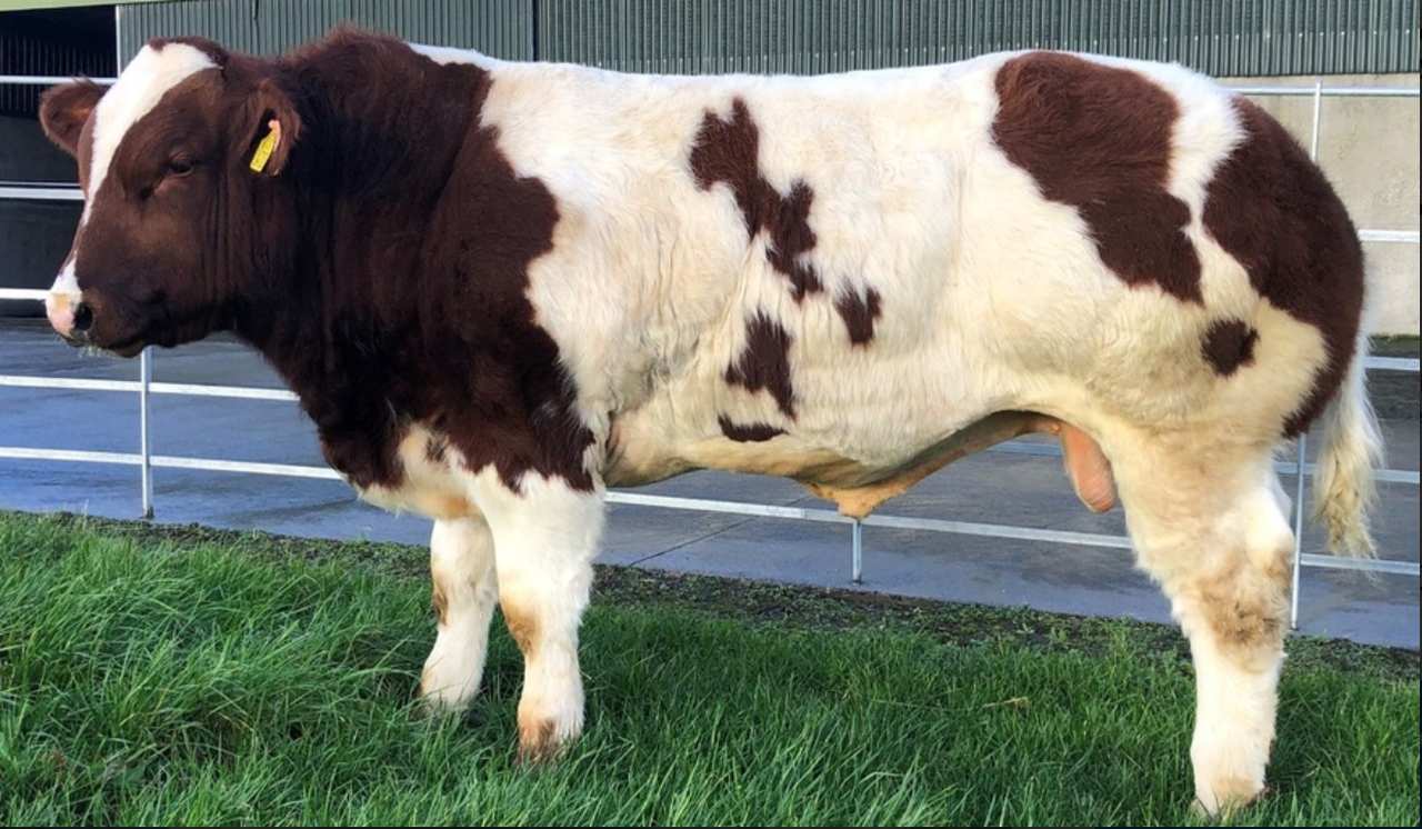
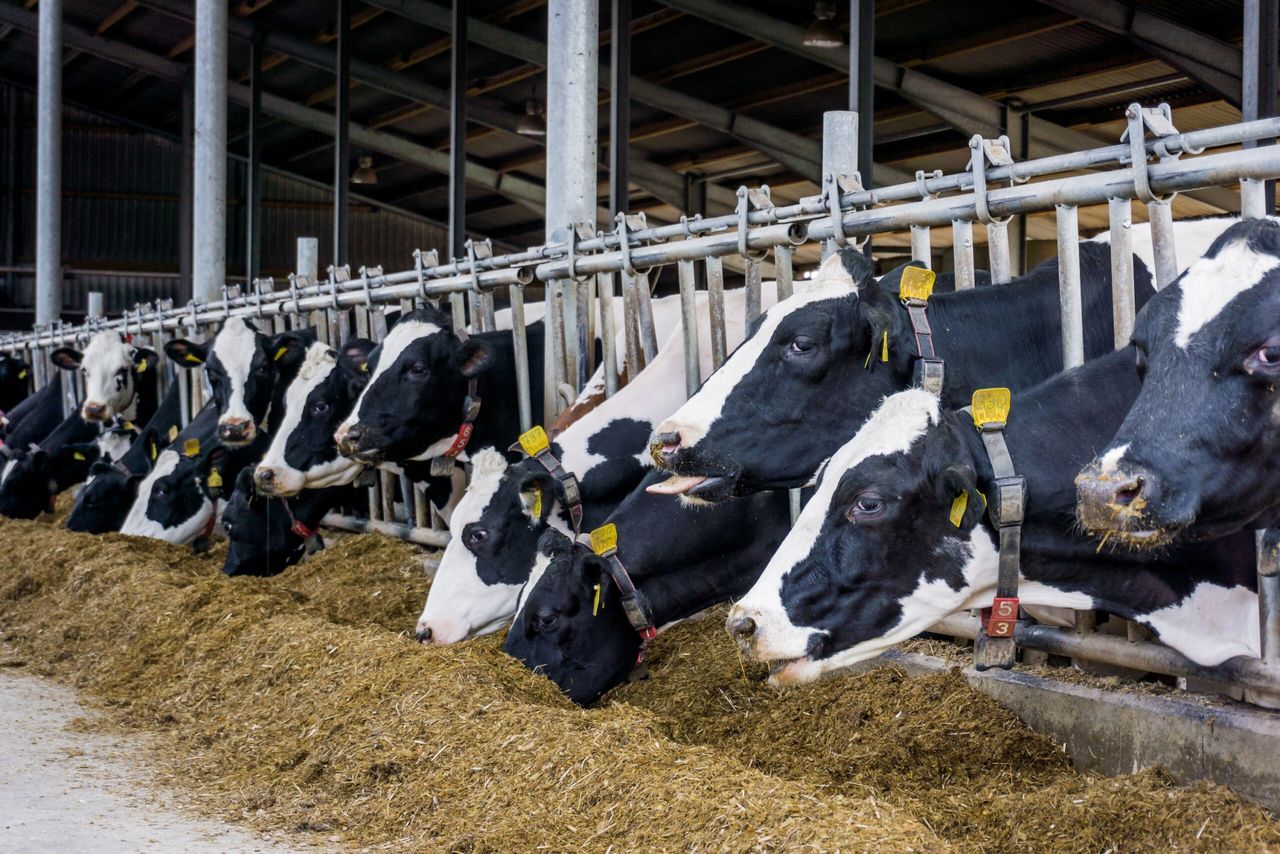
Ahead of the cold snap, the Department of Agriculture, Food and the Marine (DAFM) is urging farmers to be extra careful and to ready themselves, and their farms.
Minister of Agriculture, Food and the Marine Charlie McConalogue said:
"I urge all farmers, fishers and everyone in rural areas to ensure that they are ready for the approaching cold spell.
"The priority must always be the safety of people and then livestock.
“Safety must always be the number one priority for every farmer," Minister of State Martin Heydon added.
"Farming is a high-risk occupation, and poor weather increases these risks. So, take the time to ensure that you and your farm are prepared for the cold weather.
"Simple steps such as having a few bags of salt on hand can minimise the risk of slips or falls. It is only by identifying the risks now that steps can be taken to ensure jobs can be completed safely."
Met Éireann forecast
Most areas will stay dry for the rest of today with spells of low winter sunshine, however it will be a little cloudier near southern and eastern coasts with possible showers.
It will be rather cold with highest temperatures of 4° to 8°, in light variable mainly northeasterly breezes.
It will be very cold tonight with a widespread sharp frost and icy stretches. It should be generally dry, though isolated showers will occur, some wintry in the northwest later.
Some mist and fog will also develop across the south midlands and mid-west. Lowest temperatures of -3° and +1°.
Tomorrow, Wednesday, will be a cold day with highest temperatures of only 2° to 4°. It will be dry for the main, with crisp spells of low winter sunshine, however a few well scattered showers will feed into the north and west, with the odd wintry one falling to lower levels.
On Wednesday night, there will be a widespread sharp frost with lows of -3° to +1° with ice on untreated surfaces.
Wintry showers will move southwards over the northern half of the country overnight and temperatures will rise marginally with falls of rain, sleet and snow, in some areas, that may lead to some very icy conditions.
On Thursday, it will be very cold with temperatures only nudging above freezing in some areas with high of between +1° and +4° generally, in light northerly breezes.
Scattered outbreaks of rain, sleet, and possibly some snow over higher ground, will gradually push down over the south of the country.
Sunny spells and some scattered wintry showers will follow.They will become confined to coastal parts through the afternoon.
Status Yellow weather warning
It will be another bitterly cold night on Thursday night with a widespread sharp to severe frost and some icy patches. Minimum temperatures of -4° to -1° in light northwest to west breezes.
While there will be a Status Yellow weather warning for low temperatures in place, most areas will be dry and clear. However, there will be a few wintry showers at times, mostly near northern coasts.
It will stay very cold with temperatures once again struggling to get to the range of +1° to +4° in light westerly breezes. Most of the country will remain dry and quite sunny, but wintry showers will persist near coasts, especially in the west.
Another widespread frost is expected with a mix of cloud and clear spells as lowest temperatures dip to between -3° and -1° generally. Wintry coastal showers will continue near western coasts.
While a rogue wintry shower or two can't be ruled out elsewhere, it will mostly be a dry night. Fog, or freezing fog will develop as the night goes on, becoming quite dense through the midlands by morning.It will be very cold on Saturday (December 10) with some parts of the midlands not expected to rise above 0° as fog persists. Elsewhere will generally only reach to +1 to +3°.
Apart from the chance of coastal showers in the north and west, it will be a dry day with sunny spells. These becoming confined as the fog is expected to become more widespread through the afternoon and evening.
Little change expected for Sunday (December 11) as of now, as well as the early days of next week, while it will be mostly dry it will be raw with fog persisting in some areas, possibly up to the middle of the week.