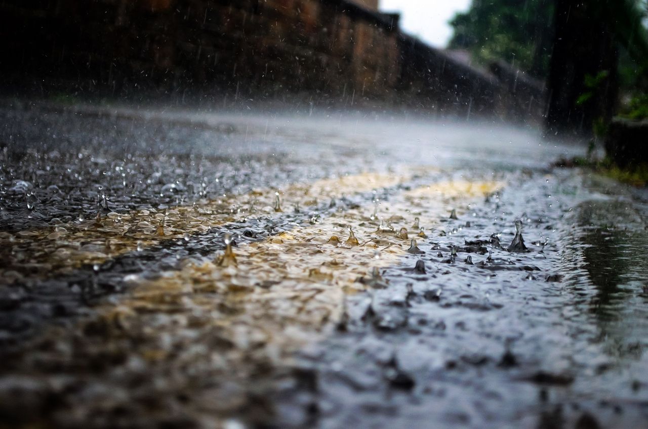
Status Orange thunderstorm warning issued for 10 counties


Met Éireann has issued a Status Orange weather warning for thunderstorms in 9 counties in the west and midlands today (Saturday, June 17).
The thunderstorms and very heavy showers will result in significant rainfall accumulations over short time periods, according to the national forcaster.
The warning which will remain in place until 10:00p.m applies to Cavan; Clare; Galway; Leitrim; Longford; Mayo; Offaly; Roscommon; Sligo; and Westmeath.
The thunderstorms may cause flash flooding, hazardous travelling conditions with reduced visibility and power outages in some areas.
Warning
Met Éireann has also issued a Status Yellow thunderstorm and rainfall warning for the majority of the country today.
The thunderstorms will bring frequent lightning, heavy downpours, gusty winds, and a chance of hail.
This warning applies to Carlow; Kildare; Kilkenny; Laois; Longford; Louth; Meath; Offaly; Westmeath; Cavan; Donegal; Monaghan; Clare; Cork; Kerry; Limerick; Tipperary and Connacht.
Counties covered by this alert, which is valid until 11:00p.m may see localised flooding and driving conditions will be difficult.
The UK Met Office has also issued a Status Yellow thunderstorm warning for Fermanagh, Tyrone, Derry. The warning will be in place from 2:00p.m until 9:00p.m.
The forecast today is for cloudy conditions with some heavy falls of rain in parts.
As the day progresses showers will develop across much of the country with highest temperatures of 18° to 22° in moderate southerly breezes.
The showers will gradually die out tonight with patches of fog and mist forming in the light winds. Lowest temperatures of 11° to 24°.
Sunday will bring further showers, some of which will be heavy and possibly thundery in the afternoon and evening.
It will be a cloudy day with temperatures ranging from 18° to 22° in light to moderate southeasterly breezes.