Snow-ice warning issued nationwide

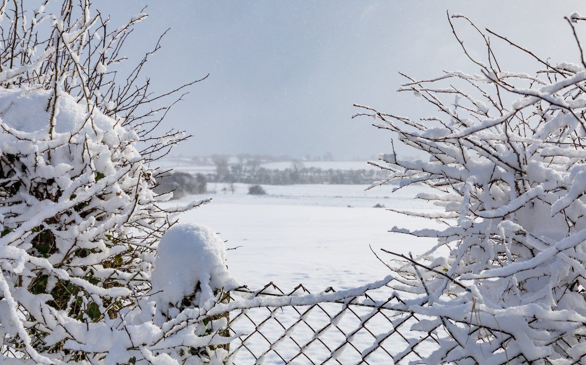
Met Eireann has issued a Status Yellow snow-ice warning for the full country.
Issued at 10:00am this morning (Saturday, March 9), and updated at 10:48am, the warning will come into effect at 11:00pm tonight and last until 6:00am on Monday morning.
According to the national meteorological office, scattered thundery showers of hail, sleet and snow are expected during the warning period.
This afternoon will be windy, but the gusty westerly winds will gradually decrease.
It will be dry in many parts with sunny spells; however, a few showers will occur, chiefly in parts of the west and north.
Cloud will increase from the south-west later today with rain arriving in parts of Munster and south Connacht towards evening.
Highs of 7° to 10°are expected in general but lower temperatures of 5° to 7° are likely in Ulster.
Rain, with some heavy bursts, will spread up over much of the country this evening and early tonight, turning wintry with some falls of sleet and snow.
The rain, sleet and snow will turn more showery overnight, but still occasionally heavy and prolonged over the northern half of the country.
Light variable winds, will become fresh to strong westerly, with gales developing on Atlantic coasts towards dawn.
Tomorrow
Tomorrow will be a cold and raw day with widespread blustery showers, according to Met Eireann.
Many of the showers will be heavy and wintry in nature with a mix of rain, hail, sleet and snow.
Afternoon highs will be around 3° to 5°generally, but 6° or 7° in coastal areas of the south and south-west, the forecaster has said.