Settled and largely dry weather expected this week

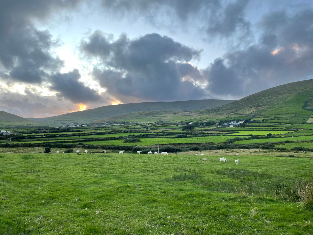
High pressure will continue to bring settled and largely dry weather conditions this week, with just well scattered showers, Met Éireann said.
The best of the autumn sunshine is likely early in the week, with cloudier skies expected during the second half of the week.
Any lingering mist, fog and frost will clear this morning (Monday, November 2) leaving a dry, bright day with good sunny spells.
Highest temperatures of 10° to 13°C in light variable breezes, light to moderate east to north-east.
Tonight will be dry and cold, some mist and fog patches forming, particularly in Ulster, Connacht and north Leinster.
Overnight lows of -1° and 4°, with some frost in places. Light variable or east to north-easterly winds, near calm conditions in some northern areas.
Weather
Tuesday morning will be cold with mist, fog and frost. The mist and fog will be widespread in the north, midlands and west, and will gradually clear as the day progresses.
A mostly dry day, with good spells of sunshine developing. Cloud will build in the east where there may be some showers.
Top daytime temperatures will be of 9° to 12°, a little lower where fog is slow to clear. Mostly light variable breezes initially, becoming light to moderate north-east to east.
Tuesday night will be mostly dry, apart from some light showers in parts of the east and south. More mist and fog will form, especially in the north and west where the skies will be clear and winds light.
Another cold night with lowest temperatures of 0° to 5° with some frost in mostly light east to north-easterly or variable breezes.
In eastern and some southern areas there will be a more moderate east to north-east breeze where it will not be as cold and stay free of frost and fog.
Frost, fog and mist will clear on Wednesday to leave a mainly dry, bright day with lots of sunshine. A bit cloudier in the south and parts of the east.
Easterly winds will be mostly moderate, fresher in the south and parts of the east. Top daytime temperatures of 9° to 12°.
Wednesday night will be mostly dry with clear spells, isolated light showers in the east and south.
Lowest overnight temperatures will be of around 2° to 6°, with a possibility of some frost further west. Winds will be light to moderate easterly, a little fresher at times in eastern and southern coastal parts.
Thursday will bring further bright or sunny spells, the best of these in the west of the country. It will be mainly dry with some well scattered showers in the east.
Highest temperatures of 9° to 12° with mostly moderate easterly winds, fresh and occasionally gusty in eastern coastal parts.
Plenty of dry weather again on Friday, with some well scattered showers. The best of the bright spells in the west. Temperatures again reaching highs of 9° to 12° in light to moderate easterly winds.
The weekend is currently expected to continue mainly dry and settled with some sunny spells and well scattered showers.
Met Éireann
As more settled conditions are expected over the next seven days, Met Éireann said rainfall amounts are expected to well below average across the country.
Amounts will range between 0% and 13% of the average for this time of year, with highest values expected in coastal areas. Many other parts will have no rain at all in the coming week.
Mean air temperatures will range from 7° to 11° over the next seven days. Mean soil temperatures will decrease slightly due to colder nights.
Drying conditions will generally be moderate to good in the early days of this week once early mist and fog clears.
There will also be some good opportunities for spraying in the coming days.
With some drier periods over the coming week, all soil moisture deficits are expected to will improve.
Well-drained and moderately drained soils will increase to between 1mm and 6mm during the next seven days, while poorly drained soil will range between -7mm and -1mm by the end of the period.