Cold spell and scattered showers expected this week


Temperatures are expected to remain cool this week, with scattered showers likely across the country, according to Met Eireann.
Today is set to be cold, with frost and icy patches in places. Heavy showers of rain, hail and sleet are likely, as well as the risk of some thunder.
Some snow is also possible, especially on high ground. The east and northeast of the country is set to enjoy some sunny spells during the day.
Temperatures are forecast to reach between 4 to 7 degrees with mostly moderate southwest winds, but these are expected to become strong and gusty in the southwest.
A band of rain and sleet is set to move down from the northwest over Connacht and Ulster towards dawn. Frost is expected to develop in places, as temperatures drop to as low as -2 degrees.
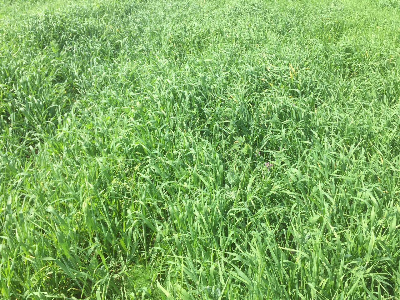
Well drained soils are likely to remain trafficable over the coming days, especially in the east, according to Met Eireann.
But, in general, spells of rain or showers will result in most soil types becoming saturated and trafficability will become poor, it added.
Both drying and spraying conditions are expected to be poor over the coming days.
Tomorrow
Rain and sleet is forecast to extend southeastwards tomorrow morning, Tuesday, and clear in most places by noon.
It is expected to be cold overnight with some rain or showers at times, but it is set to become mainly dry.
Later in the night persistent rain is set to develop in the southwest, with temperatures falling to around freezing.
Wednesday
On Wednesday rain is forecast to gradually spread northeastwards, falling as sleet on high ground. It is set to reach northern areas towards evening.
Highest temperatures of 5 to 9 degrees with moderate southerly breezes are expected, while rain and sleet are likely overnight.
Outlook
Thursday will be mostly cloudy with rain or showers in most areas at times. There is a danger this rain may become persistent on the south coast in the evening, according to Met Eireann.
Temperatures are set to range from 6 to 10 degrees with moderate to southwest breezes.
Further spells of rain and showers are likely on Friday, with the heaviest rain expected in Munster and Leinster.
Early indications suggest that next weekend will continue cold and unsettled, with further rain or showers at times.