RePeat project: 200-year-old maps helping to direct our climate-change path

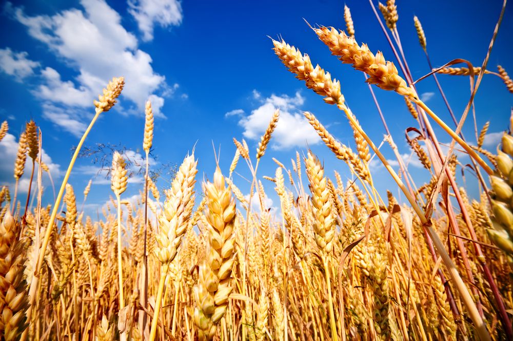
Hand-drawn maps of Irish peatlands, dating from the early 1800s, are being used to identify agricultural areas that may be suitable for re-wetting, thus, helping Ireland achieve its climate-mitigation targets.
Trinity College Dublin (TCD) and National University Ireland (NUI) Galway researchers are heading up the RePeat project, a three-year initiative co-funded by the Department of Agriculture, Food and the Marine (DAFM) and the Environmental Protection Agency (EPA).
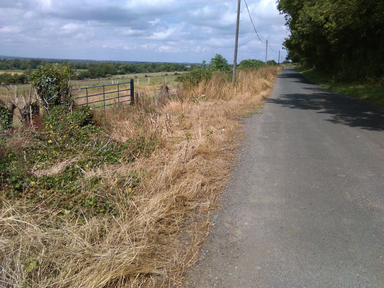
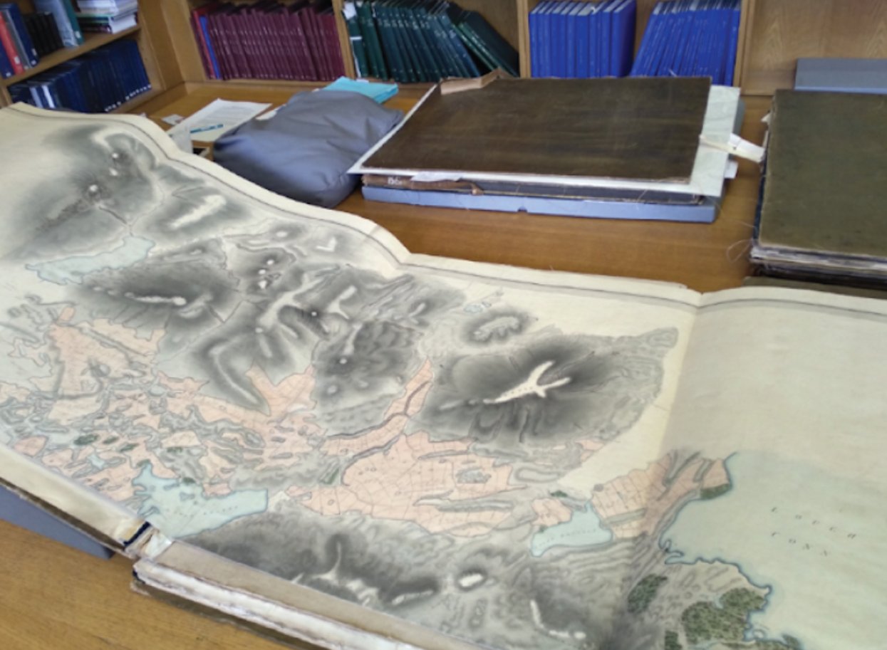
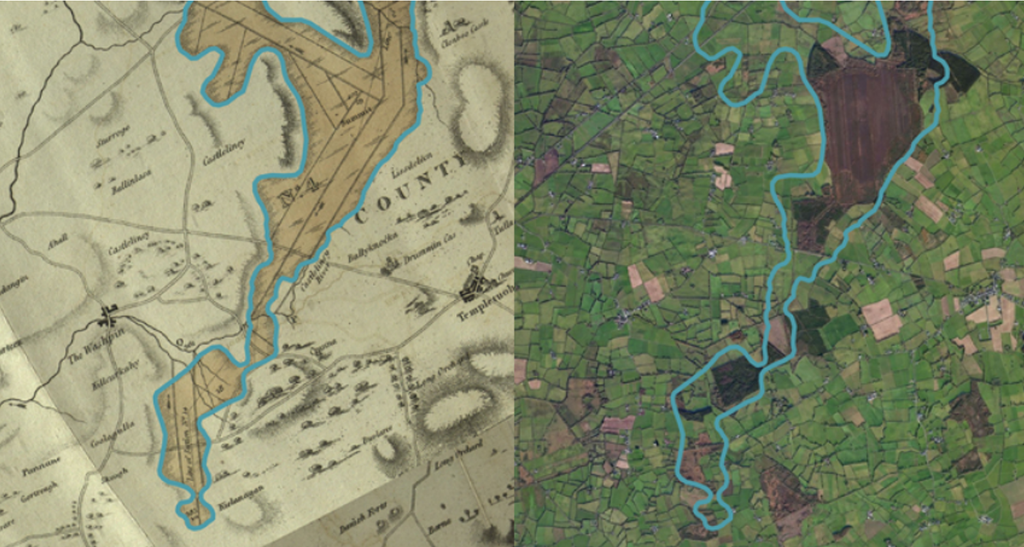
They are using peatland maps created by the Bog Commission between 1809-1814, to identify present-day agricultural areas and boundaries that are located on what were, originally, peatlands.
They will digitise and geo-reference these maps, which will, eventually, contribute to the creation of land-use change and emission inventories.
The project's principal investigation team comprises: Dr. Terry Morley, a wetland ecologist and physical geographer at NUI Galway; Dr. Katja Bruisch, an environmental historian based in the Department of History at TCD; and Dr. John Connolly, a physical geographer and geoinformatics expert based in the Department of Geography at TCD.
Bog Commission's maps
During the early 1800s, bog commissioners in Ireland - appointed by the British government - surveyed more than one million acres of peatlands. Using chain-measurement mapping methods, they produced incredibly detailed maps for their time.
The purpose of these maps, however, was to reclaim what was then considered unproductive, marginal land and convert it to 'useful' agricultural land.
This conversion involved draining the peatlands and as a result, commencing their degradation, explained TCD's Dr. Connolly.
"So, the aim [of the RePeat project] is to identify land that was formerly peatland that would be suitable for re-wetting because peatland that has been converted to a grassland or a forest or some other land use, and that has been drained, is emitting a lot of CO2 [carbon dioxide]," Dr. Connolly said.
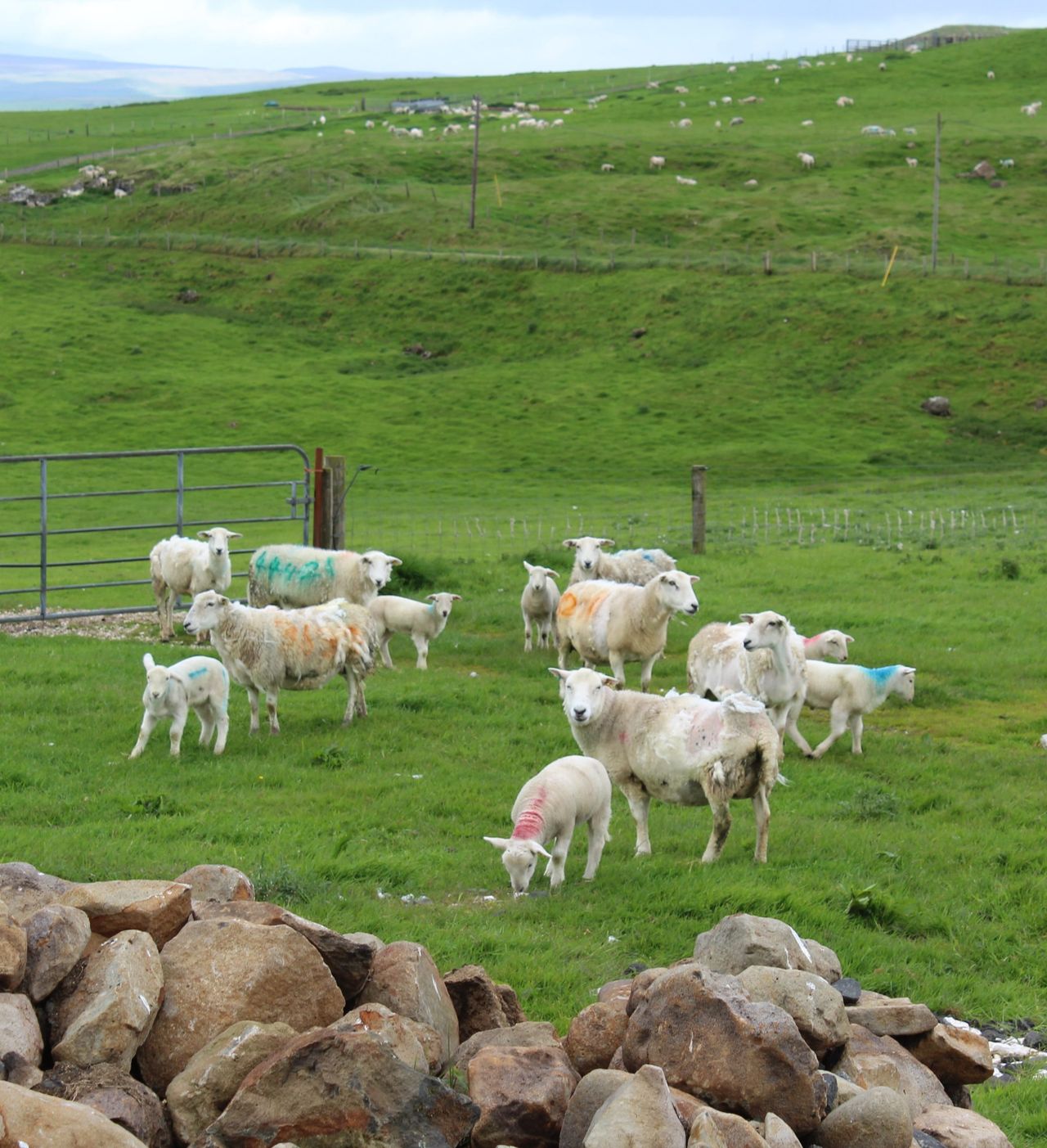
Healthy, wet peatlands however, are carbon sinks, so their restoration could greatly help in addressing our climate crisis.
Using the bog commissioners' maps for reference, combined with change-detection studies - involving geospatial and earth-observation techniques - the researchers will be able to create maps that assess land-use change that has occurred over two centuries.
The project involves: Digitising the maps, overlaying, aligning and comparing them to present day high-resolution satellite imagery; conducting field studies to investigate and confirm the peatland boundaries; and verifying the accuracy of the bog commissioners' maps.
"The bog commissioners were interested in peatlands over 500 acres in size," said Dr. Connolly.
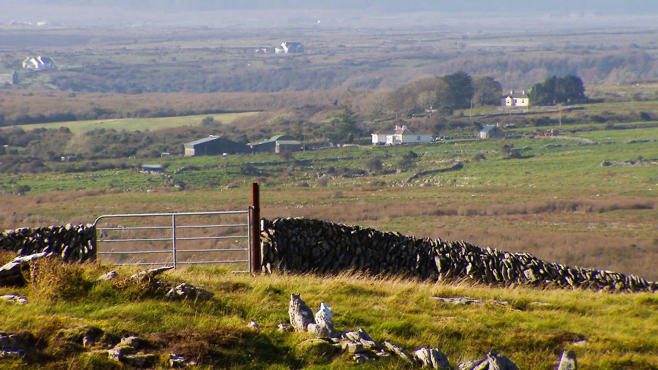
"Most of those - raised bogs - were across the midlands, into Connemara. They also mapped peatlands in Cork, Kerry and around Wicklow."
Black gold
Peatlands have been referred to in recent years as 'black gold' such is the positive role they play in our environment, ecosystems, habitats, and in relation to climate change.
Because of this, RePeat's research and results will feed into Ireland's national re-wetting plan and projects, which are all aimed at mitigating climate change.
Peatlands are considered the most space-efficient carbon store - they occupy just 3% of the earth's land surface, but store twice as much carbon as all the forests combined.
In the 2019 iteration of our Climate Action Plan, the role of peatlands in tackling climate change was highlighted by numerous peatland-management actions.
One action was to establish a 'land use, land-use change and forestry' (LULUCF) project that would identify areas of carbon-rich soils under agricultural management - of at least 40,000ha.

Enter the RePeat project, which is specifically referenced in the amended Climate Action Plan 2021.
This recent plan outlines a more detailed path for Ireland to achieve a 51% reduction in greenhouse gas (GHG) emissions by 2030, and it has doubled - to 80,000ha - the target area of carbon-rich soils.
Future of farming
The potential for the project to effect positive climate change is great, but it will throw up some questions about the role, or the form, of farming in the future, said Dr. Connolly.
"At some point, the idea of what farming is may change. Maybe in the future, we can farm for carbon in addition to dairy or beef, for example," he suggested.
This would involve having a different mindset around the value of land that is wet, he explained.
"So that wet land is not seen as unproductive land, that it is productive, just in a different way," he said.
"There is a lot of work coming out of University of Greifswald about a concept called paludiculture, which is, essentially, wetland agriculture.
"So, it's looking at how do you conduct agriculture on a wetland landscape without impacting or degrading that landscape and causing GHG emissions from that landscape? While at the same time, enhancing sequestration of carbon into that environment?" explained Dr. Connolly.
PaludicultureThis is the productive land use of wet and re-wetted peatlands that preserves the peat soil and minimises CO2 emissions and subsidence.
"I know that this is a massive, massive change for many farmers and, of course, not all farmers will go down this road at all. But, I think, where you have land that has been converted, it may well be worth looking at," he continued.
"Maybe the drains that were put in aren't working, maybe it gets really wet during winter. There will be a gradient within the land that is identified. While some of it may be productive, some of it may not."
Indeed, this will be encouraged under the next Common Agricultural Policy (CAP) as practices such as carbon farming and conservation agriculture; re-wetting peatlands; and paludiculture are to be considered under the eco-scheme element of the policy.
Researching and mapping peatlands have been at the heart of Dr. Connolly's career since 2001, so he knows well how strong an ally they can be to us right now.
"This is a huge low-hanging fruit in terms of climate-change mitigation," he said.
"If we can restore, re-wet, and rehabilitate peatlands right across the country, we can really help to reduce GHG emissions," he added.
The RePeat researchers are seeking to contact farmers who are happy for them to conduct their field studies on their lands.
Initially, they are linking in with Teagasc advisers to establish farmer contacts in the relevant areas.
But they would love to hear from farmers directly too and are inviting them to send an email to find out more: [email protected]
On completion of the project, RePeat will take to the road, sharing with relevant communities around Ireland the Bog Commission's maps and the story of our peatlands from all those years ago.
"We can show people what their land looked like 200 years ago. So we are quite excited about that," Dr. Connolly said.
"Obviously, the project has practical elements in terms of climate change but to find these old maps, as a geographer, it is really exciting to see how the land use has changed."