Rainfall warnings in place today as Lorenzo looms later this week

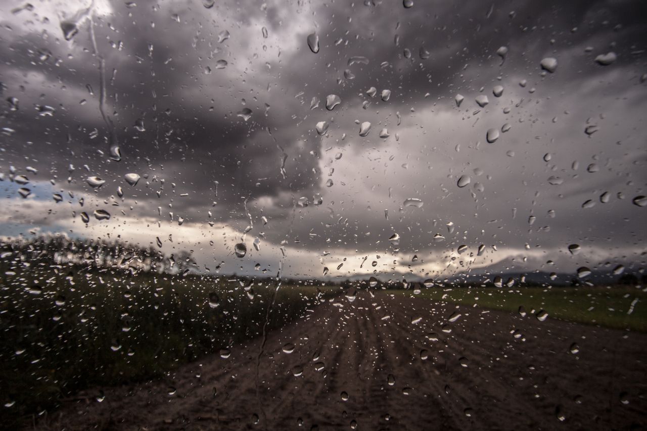
Met Éireann has two Status Yellow weather warnings in place for today, Monday, September 30, with rainfall accumulations of up to 35mm expected in places with a risk of spot flooding.
The national meteorological office issued a warning for counties Cork and Kerry, valid from 3:00am this morning through to 4:00pm this evening.
A separate alert was also issued for counties: Dublin; Carlow; Kildare; Kilkenny; Wexford; Wicklow; Tipperary; and Waterford.
Meanwhile, for the country in general, this morning will start dry in most places with patchy fog clearing to give some brighter spells.
However, rain along the south-west coast will spread up over the country during the day, with some heavy falls likely, and reaching the north of Ulster in the evening.
Somewhat drier conditions will develop in the south-west in the afternoon. Maximum temperatures will reach 13° to 16° while it will become breezy and blustery with the rain.
Tonight will bring further rain or showers, heavy in parts. Winds will be fresh in the north and blustery around coasts there, but they will be lighter in the southern half of the country.
Lows of 7° to 11° are expected with some mist and fog.
Tomorrow
Tomorrow will start out rather damp, blustery and cloudy with patchy rain and drizzle, according to Met Éireann.
Brighter, clearer and mainly dry weather will gradually extend from the west and north-west during the morning, though cloud may be slow to clear the south-east.
It will be rather cool with maximum temperatures of just 12° to 15°. Fresh north-east winds will be strong and blustery for a time along the east and south-east coast.
Tomorrow night will be mainly dry, apart from the odd coastal shower in the north.
There may be mist and fog patches also.
Wednesday
Wednesday looks like a dry day countrywide with mist and fog patches slowly clearing to give some bright or sunny spells, the forecaster says.
Another rather cool day is in store, with maximum temperatures ranging from 11° to 14° in mainly light variable breezes.
It will be dry in many areas overnight but cloud increasing from the Atlantic bringing a little drizzle to western parts by morning.
Lowest temperatures overnight will drop to 4° to 9°, with it coolest in the north-east.
Lorenzo
On Thursday Lorenzo – currently predicted to be a tropical storm at this stage – is likely to be in the vicinity, according to the forecaster.
It will become milder due to the influence of the tropical origin air. The risk of severe weather continues and the progress of Lorenzo and any potential impacts for Ireland are being closely monitored by Met Éireann, the meteorological office concluded.