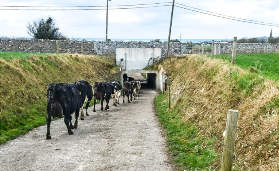
Rain to return this week with drier spells towards weekend

Showers of rain are set to make a return across the country this week; however, this could change for the upcoming June bank holiday weekend, according to Met Éireann.
Today, Monday, May 27, will see showers become more frequent and heavier this afternoon and into the evening. Occasional spells of thunder and hail will emerge in areas where showers are heaviest. Highest temperatures today will range from 12° to 17° with blustery, westerly winds.
Showers will become more isolated overnight with long clear spells developing. Tonight will be cool with lows of 4° to 7° and the westerly breeze easing off.
There will be occasional showers tomorrow, Tuesday, but in general it will be dry and sunny. Highest temperatures will range from of 13° to 16° in light north-west breezes.
Wednesday will start fairly dry but increasing cloud will bring rain and drizzle to most places during the morning and afternoon.
The rain will be heaviest and more persistent across the north of the country and lighter and more broken nearer to the south coast. Highs will range from 13° to 17°.
Thursday will be cloudy with further outbreaks of rain and drizzle during the day. Most of the rain will occur over the northern half of the country. Highs of 14° or 15° to the north of the country and from 17° to 19° in the south.
Finally, Friday and into the weekend will see a lot of dry weather but misty conditions will continue to persist near the west coast.
It will become warm, especially in the east of the country, where temperatures may reach 22° in spells of sunshine.