National weather warning issued by Met Eireann

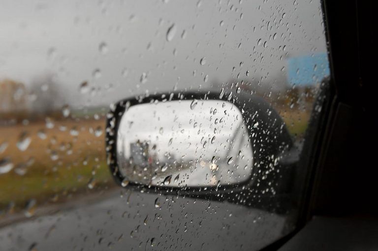
Met Eireann has issued a Status Yellow weather warning for the entire country, with “damaging gusts” expected in the coming days.
Issued yesterday evening (Tuesday, October 9) at 7:00pm, the weather advisory warning for Ireland will be valid from 11:00pm tomorrow night (Thursday, October 11) through to Saturday night (October 13) at 9:00pm.
A spell of wet and very windy, possibly stormy, weather is expected tomorrow night or Friday morning as a deep depression tracks northwards to the west of Ireland, according to the national meteorological office.
There is the also the risk of coastal flooding due to high tides and surge.
Later Friday and continuing into Saturday, there is the potential for some high totals of rainfall and flooding due to another area of low pressure and series of weather fronts, with the east and south particularly at risk.
Today’s weather
For immediate weather, it is expected to be mostly dry and breezy today.
There will be some low cloud and mist in places at first but sunny spells developing in most places this morning.
It will be mostly dry early tonight, but showery rain will develop with more persistent and heavy, possibly thundery rain in parts of the south-west and west by morning. Overnight, temperatures will drop to about 10° to 14°.
Tomorrow
It will be rather cloudy and breezy on Thursday morning with fresh and gusty south-east winds veering south-west.
There will be dry periods in places, but persistent rain in the south-west and west will become widespread during the morning – with heavy falls in some parts and the risk of isolated thunderstorms.
Brighter conditions with showers will follow from the south-west during the afternoon and evening, while highest temperatures will peak at 13° to 16°.