More rain on the way with warm conditions continuing


More rain is expected over the weekend, with temperatures remaining warm over the coming days, according to Met Éireann.
There will be isolated heavy thunderstorms this morning in Connacht and Ulster with a lot of dry weather elsewhere, the national meteorological office notes.
In the early afternoon outbreaks of rain will spread across much of Munster, with showers developing in other regions.
Tonight will see showery rain continue in most areas, with some heavy and possibly thundery bursts. Lowest overnight temperatures of 11° to 13° are expected. There will be light variable breezes with some mist and fog forming.
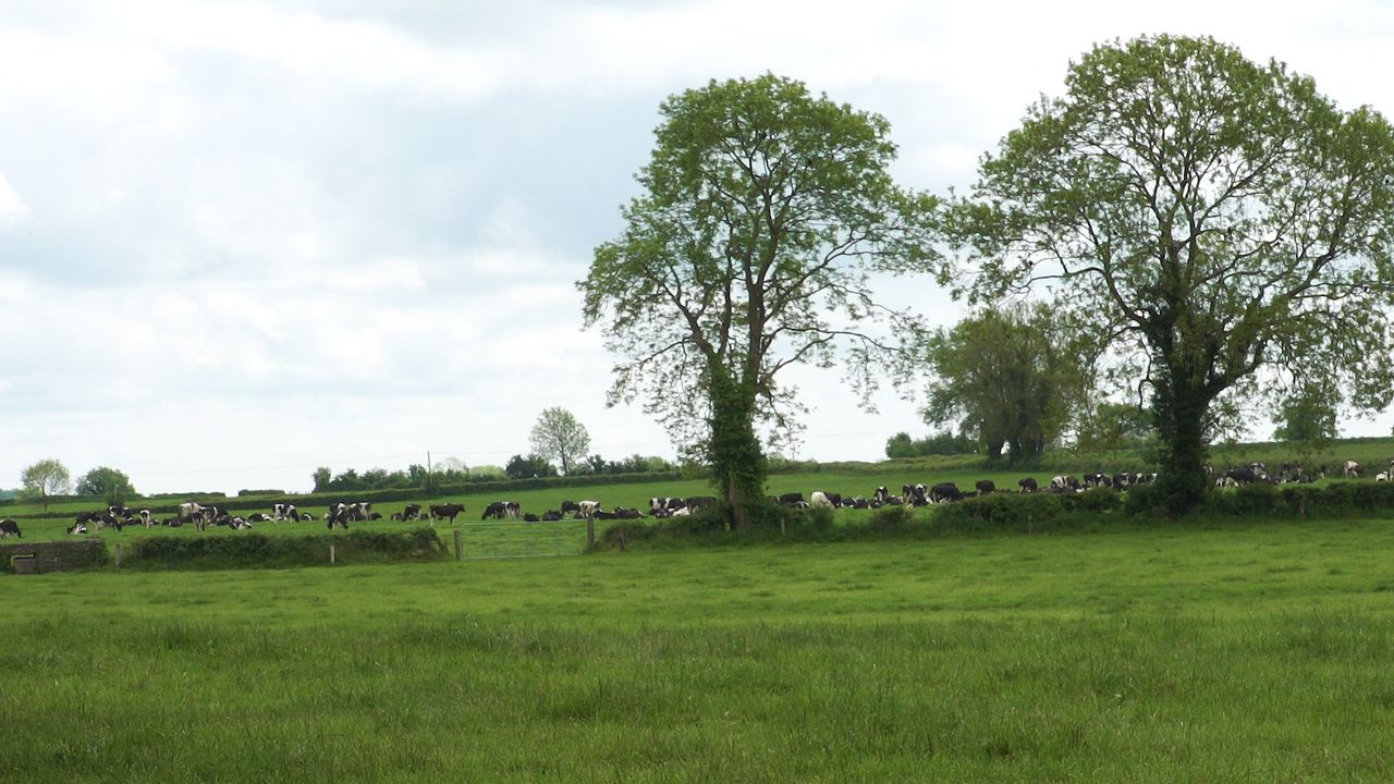
Rain and soil conditions
Over the past seven days, rainfall amounts were higher than normal across the country. Parts of the country recorded between 1.5 to nearly four times their average weekly rainfalls for the time of year.
Claremorris recorded 63mm of rainfall, 365% of its normal. Rainfall amounts for the coming week are expected to be above average across the board.
Most places are expected to have 1.5 times the average or slightly above but some northern parts may get close to four times the average.
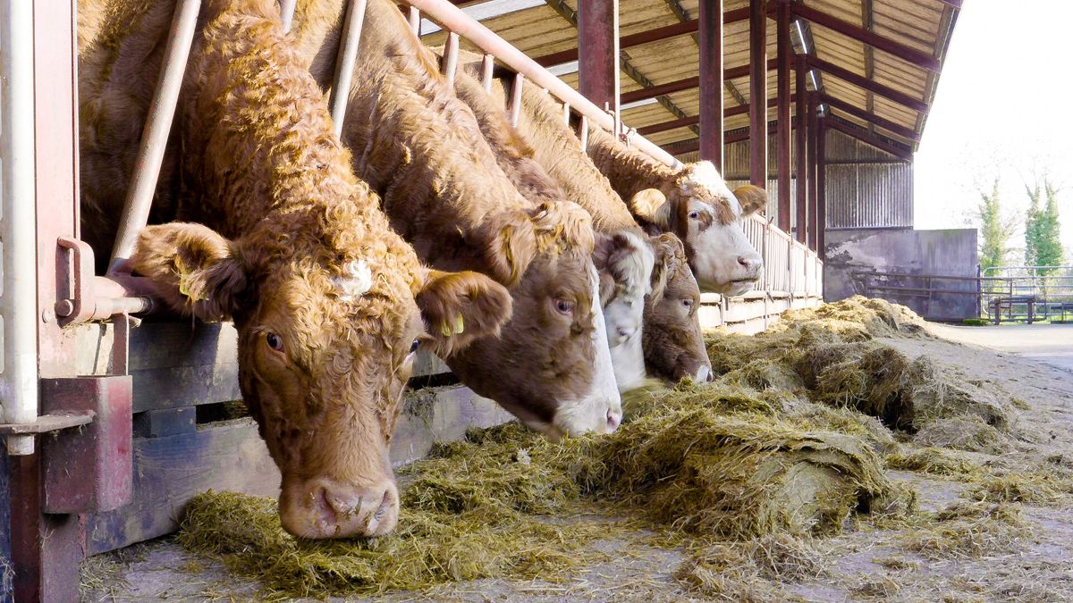
Both spraying and drying conditions will be poor for most of the weekend and into next week.
The deficits in the southwest have improved somewhat and in some parts have reached field capacity. With higher-than-average rainfall expected in the week ahead an improvement is expected.
Tomorrow
There will be frequent showers tomorrow, merging into longer spells of rain at times, with some heavy bursts, especially in parts of the west and north of the country, Met Éireann says.
Winds will be mostly moderate and westerly in direction but will increase fresh to strong at times along coasts. Highest temperatures are forecast to be between 14° and 17°.
Lowest temperatures will stay at 10° or 11° with mostly moderate westerly breezes.
Sunday
Sunday will be a wet and dull day for much of Connacht and Ulster but elsewhere there will be drier, brighter conditions with scattered showers.
Highest temperatures will reach 14° to 18° generally, though it may be a little cooler under cloud in the north. There will be moderate to fresh and gusty westerly winds which will be strong along west and northwest coasts.
It will be mostly dry elsewhere with a moderate to fresh southwest wind, but winds will continue to be strong and gusty along west and northwest coasts, Met Éireann concludes.