Mild and dry weather overall this week, patchy rain and drizzle expected

Met Éireann has forecasted a good deal of dry weather overall this week, as high pressure remains the dominant driver, with patchy rain and drizzle developing at times.
It will be quite a mild week with temperatures remaining above normal.
Today (Monday, November 15), there will be a cloudy start in the east and southeast with patchy rain and drizzle clearing into the Irish Sea.
It will be drier elsewhere with lingering mist and fog slowly lifting. It will become generally dry and bright by afternoon with spells of sunshine.
There will be highest temperatures of 9° to 12° in a light west to northwest breeze, backing southwesterly later.
It will stay mainly dry with clear spells tonight. However, it will turn cloudier from the northwest overnight with patchy drizzle developing on western and northwestern coasts towards morning.
Some patchy mist and fog will develop in light to moderate southwest winds, fresh at times in the west and northwest.
Good deal of dry weather overall
There will be a generally dry start tomorrow apart from patches of drizzle in the west and northwest.
More persistent rain and drizzle will sink across the country from the northwest through the day, becoming patchier as it spreads. Drier and brighter weather will follow behind in the evening.
There will be highest temperatures of 10° to 13° in moderate to fresh southwest to west winds, occasionally strong on western and northwestern coasts.
Tuesday night will be mainly dry with clear spells, though scattered light showers will develop, mainly over Ulster.
It will be quite a cool night with lowest temperatures of 3° to 7° in moderate westerly winds, occasionally fresh on northern and northwestern coasts.
Patchy outbreaks of rain
It will be dry in many areas on Wednesday apart from a few light showers. There will be some bright or sunny spells to start the day but cloud will thicken from the west through the afternoon, bringing patchy drizzle to western coasts during the evening.
There will be highest temperatures of 9° to 11° in moderate westerly winds.
It will be generally cloudy on Wednesday night with patchy outbreaks of rain and drizzle in the west spreading eastwards across the country.
However, many eastern and southern areas will stay dry. There will be lowest temperatures of 5° to 10°, turning milder as the night goes on. Patches of mist and fog will develop in light to moderate southwesterly winds.
It will be mild and cloudy on Thursday with a good deal of dry weather apart from isolated patches of light rain and drizzle. There will be highest temperatures of 11° to 14° in moderate southwesterly winds.
On Thursday night, it will be cloudy and misty but largely dry with just the odd patch of light rain and drizzle. There will be lowest temperatures of 8° to 11°.
It will be another mild and cloudy day on Friday with scattered patches of rain and drizzle. There will be highest temperatures of 12° to 14° in light to moderate southwesterly winds.
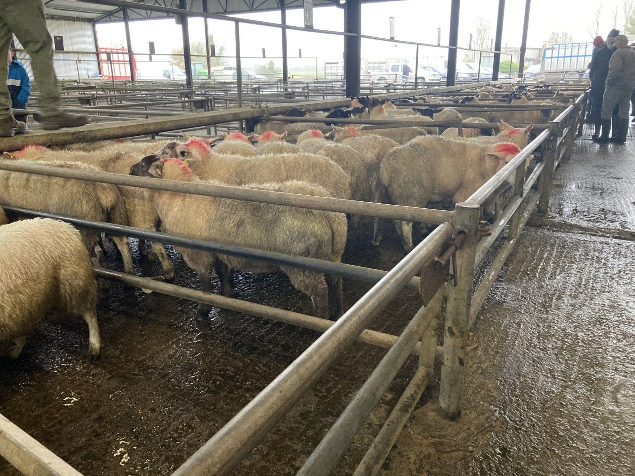
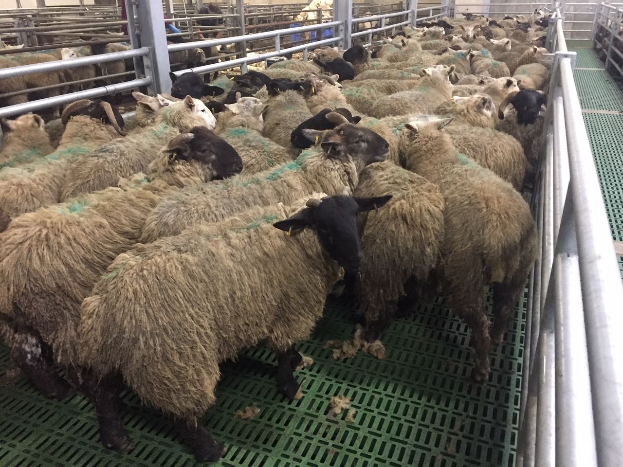
Drying, spraying and field conditions
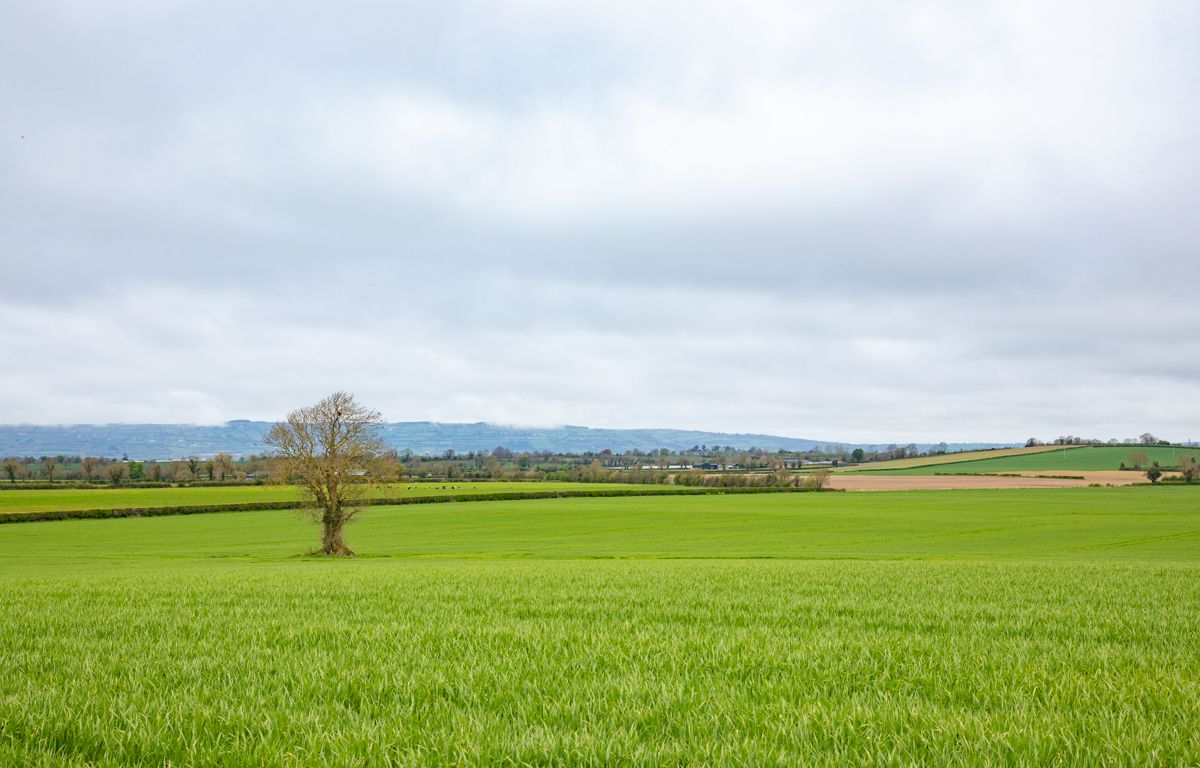
Drying conditions will improve today but will be rather poor overall this coming week, improving moderate or good on occasions locally.
There will also be good spraying opportunities today.
Well and moderately-drained soils are currently saturated or close to it. Poorly-drained soils are generally waterlogged, with the wettest soils in the middle and western half of the country.
While rainfall totals are generally expected to be below average for most of the country over the coming week, there will be little change in soil moisture deficits.
However, moderately-drained soils in the far northwest will be somewhat wetter, becoming waterlogged in some areas.