Met Éireann: Very cold this week with frost and ice

Met Éireann has said that the coming days will be very cold with widespread frost and ice across the country.
The national forecaster said that conditions will be mainly dry, apart from the north and northwest where there is the risk of wintry showers.
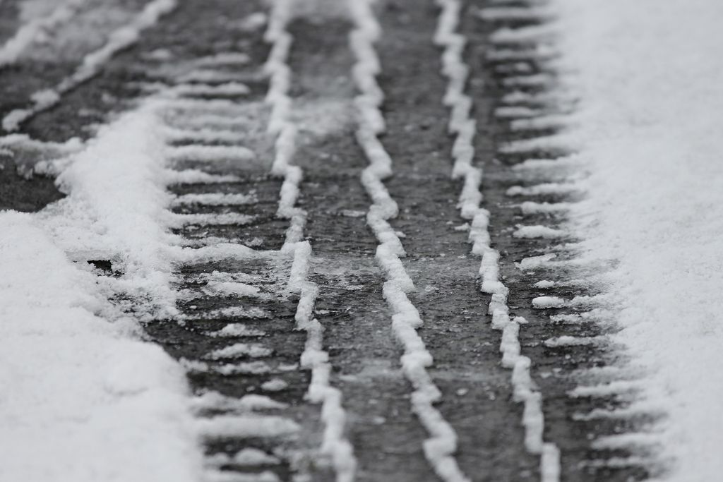
A weather advisory for artic air leading to icy stretches on roads and footpaths will remain in place until midday on Friday (January 19).
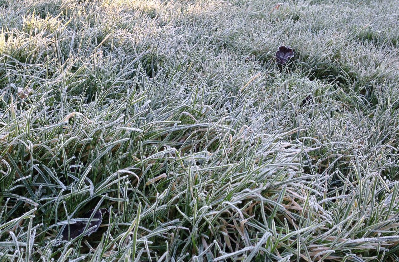
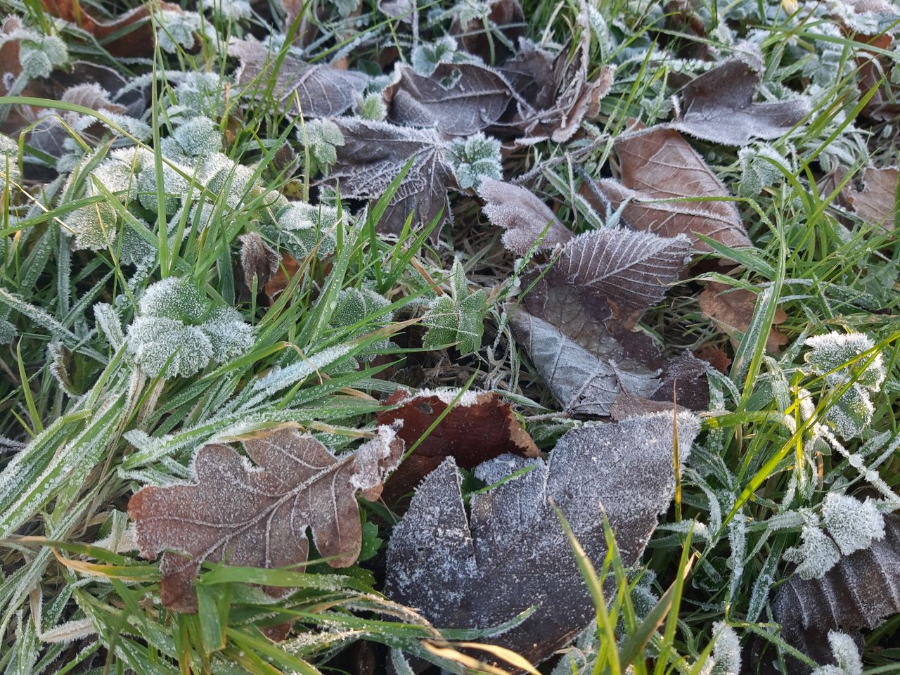
Frost and ice
The ice and frost will clear slowly this morning (Monday, January 15) and will remain in some sheltered parts for the day.
There will be bright spells and it will be mostly dry, but there will be scattered falls of rain, sleet and snow in the northwest and Ulster. Highest daytime temperatures of just 1° to 4°C in light to moderate northwest winds.
Met Éireann said that several Status Yellow weather warnings for low temperatures and ice will remain in place until 11:00a.m today.
Another Status Yellow snow-ice warning for Donegal will come into force from 6:00p.m today and remain valid until 11:00a.m on Tuesday (January 16).
Tonight will be cloudy across the northern half of the country with drier and clearer conditions in the south, some fog or freezing fog could form.
Overnight temperatures will drop to between -5° to 0°, values could be lower in parts of the south. Light to moderate west to southwesterly winds, fresher in the northwest.
Forecast
Tuesday morning will bring frost and ice, cloudy in north Leinster, north Connacht and Ulster with falls of sleet or snow, drier elsewhere with spells of winter sunshine.
The rain may drift further south later in the day and become patchier. Daytime temperatures will range from 2° to 6° in moderate west to southwesterly winds, stronger in the northwest.
Light rain and drizzle in the southern part of the country on Tuesday night, clearer conditions in the north, but some isolated showers of rain, sleet and snow are possible on northern and northwestern coasts.
Another cold night with lowest temperatures of -4° to -1° leading to a sharp to severe frost and ice stretches. Some fog or freezing fog patches could form in the calm conditions.
The frost, ice and fog will be slow to clear on Wednesday morning, ahead of a largely dry day with bright spells.
There is a risk of some scattered showers of sleet and snow in the north and northwest. Highest temperatures of 1° to 4°, but the mercury could remain below freezing in some areas.
Wednesday night will bring lowest temperatures of -5° to -2° leading to widespread frost and icy stretches across the country.
Thursday will be another cold day, it will be mostly dry apart from the odd shower. Highest temperatures of 1° to 5° in light to moderate west to northwesterly winds.
There will be some scattered showers in Atlantic counties on Friday as cloud builds from the west later in the day. Highest temperatures of 2° to 6° in light westerly winds which will strengthen in the afternoon and evening.
Current indications are for an unsettled weekend, with milder, windy and wet conditions.
Met Éireann
Met Éireann said that the coming week will be drier than normal with less than 20-25mm expected, values will be higher in the northwest ranging from 30-50mm.
It will be colder than average with mean air temperatures of 1° to 6°, which is between 1° to 4° below normal levels for this time of year. Mean soil temperatures will continue to decrease.
Drying conditions will be generally poor over the coming week due to cold conditions.
There will be spraying opportunities over the coming days, away from the north, due to the mostly light winds and limited precipitation.
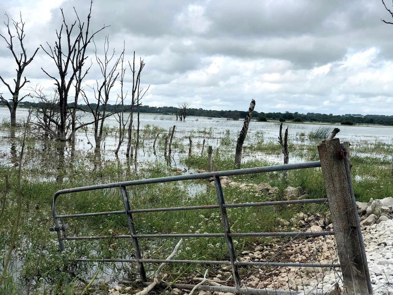
Most soils types are currently just above saturated with poorly drained soils water logged. Soils becoming drier over the coming week, with poorly drained soils in the south of the country becoming drier too.