Met Éireann: Temperatures set to climb this week

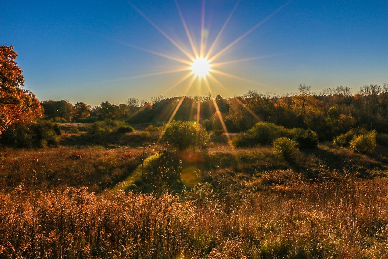
Met Éireann said it will become increasingly warm as the week progresses with possible temperatures of 30°C in places.
According to the national forecaster, there will be a lot of dry weather with sunny spells and a chance of thunderstorms later in the week.
This morning (Monday, July 6), will be mostly cloudy with patches of mist, drizzle and fog which will become mainly confined to the north and north-west later.
Sunny spells will develop across Munster and Leinster during the day. Highest temperatures of 16° to 19° in the north-west and west, but ranging from 20° to 25° in the south and east, possibly higher further south.
Westerly winds will be mostly moderate, lighter in the south and fresher in the north-west.
Cloud building in the west tonight bringing light rain, drizzle, mist and hill fog to Ulster and Connacht. Drier elsewhere with some clear spells.
Overnight lows of 11° to 15° in mostly light to moderate west to south-west winds, fresher in the north-west.
Weather
Tuesday (July 7) will start off cloudy in the north and west, where there will be some patchy light rain, drizzle and mist. Dry with good sunny spells elsewhere with the sunshine extending to the north and west later in the day.
Temperatures will generally rise to the low to mid-twenties, but could reach 27° or 28° in the east and south-east.
Cooler in the north-west, west and south-west with temperatures in the mid to high teens expected due to the light to moderate westerly breezes.
Dry in most places on Tuesday night with some patches of mist or fog developing. Lowest temperatures of 12° to 15° in light variable breezes.
Wednesday will be mainly dry with sunny spells becoming more widespread.
Highest temperatures will range from 18° to 20° in the north-west and west, but generally in low or mid-twenties. The mercury could climb up to 27° or 28° in Leinster.
Winds will be light to moderate south-west to west.
Wednesday night will be dry in most areas with clear spells, cloud will increase in the west bringing light patchy rain, drizzle and mist to the west and north-west.
Lowest temperatures of 13° to 17° with mostly light south-westerly breezes.
More cloud is expected for a time on Thursday, mainly dry apart from parts of the west and north where some light rain and drizzle is possible. Sunny spells will become more widespread later in the day.
Highest temperatures of 19° or 20° in coastal parts of the north-west and west, but generally in the low to mid-twenties, highest values across Munster and Leinster. Winds will be mostly light south-westerly or variable.
Friday will be dry with warm sunshine in most places, cloudier further west with a little rain. There is also a chance of thunderstorms developing.
It will be hotter than previous days with the mercury climbing to the mid to high twenties, possibly reaching 30° in places.
The weekend is forecast to continue very warm with a lot of dry, sunny weather. Thunderstorms may also be possible.
Met Éireann
Met Éireann said that most weather stations are expected to record less than 3mm of rainfall over the coming week (10% or less of their average). The total values may reach 10-15mm in parts of the west (up to 30% of their average).
During the next week it will be milder than average, generally by 1° to 3°.
Drying conditions will generally be limited away from the south and east over the coming days. Met Éireann said better drying conditions will develop later in the week.
Spraying opportunities away from the patchy rain and drizzle will be good over the coming days. Conditions in the north and west will improve later in the period.
With the drier than average conditions expected over the coming week, soil moisture deficits will increase throughout the country over all soil types, likely ranging between 2-20mm in the northwest to 50-70mm in parts of the south and east.
Met Éireann has advised that weather conditions conducive to the spread of potato blight are expected in west Ulster, parts of Connacht and some western coastal parts of Munster until Wednesday afternoon (July 8).