Met Éireann: Sun and showers over coming days

A mix of sun and showers is in store for the country over the next couple of days before conditions deteriorate from midweek onward, according to Met Éireann.
Today (Monday, May 31) will be very mild and mainly dry with long spells of sunshine for most. It will turn cloudier in western coastal counties at times, with drizzle possible near coasts, especially in the late afternoon and evening.
Highest temperatures of 17° to 21° are expected, with conditions a little cooler along the south coast in a moderate southerly breeze, the national meteorological office says.
Tonight will be cloudy across much of the western half of the country, with outbreaks of rain or drizzle in western coastal counties, but it will stray dry with clear spells in the east.
Lowest temperatures will hold at 9° to 12° in light to moderate southerly or variable winds.
Tomorrow
Tuesday morning and early afternoon will be cloudy or dull over the western half of the country with outbreaks of rain or drizzle in parts of Connacht, west Munster and west Ulster, Met Éireann says.
This will clear to sunny spells and scattered showers later in the afternoon. Highest temperatures will range from 13° to 17°.
It will stay largely dry and warm with hazy sunshine across the rest of the country, with just a chance of an isolated shower, and highest temperatures of 18° to 22° . Winds will be light to moderate and northerly or variable in direction.
Tomorrow night will be dry with clear spells in most areas early in the night, although it will be cloudy with outbreaks of rain or drizzle at times along the west coast, the forecaster notes.
Scattered showers will move up across the country from the south overnight, most frequent in the west. Lowest temperatures of 8° to 12° are expected with light to moderate east to northeast winds.
Wednesday
Wednesday will be a cloudier day overall with rain developing in the south during the morning and moving northwards through the day, Met Éireann says.
Maximum temperatures will range between 15° in Munster to 22° in Ulster, with light to moderate east to southeast winds.
Wednesday night will be predominantly cloudy, although some clear spells will develop at times, and there will be showery outbreaks of rain. Lowest temperatures of 10° to 14° are predicted south to north, with light south to southeast winds.
Thursday
It looks like Thursday will start quite cloudy with further showery outbreaks of rain, but turning drier and sunnier for the afternoon and evening, the meteorological office says.
Highest temperatures will range from 14° to 22°, with conditions warmest in the north and northeast, with light to moderate southerly breezes.
It will be mostly dry with clear spells on Thursday night, although a few showers may develop. Lowest temperatures of 5° to 10° are expected, Met Éireann concludes.
Met Éireann: Farm/field conditions
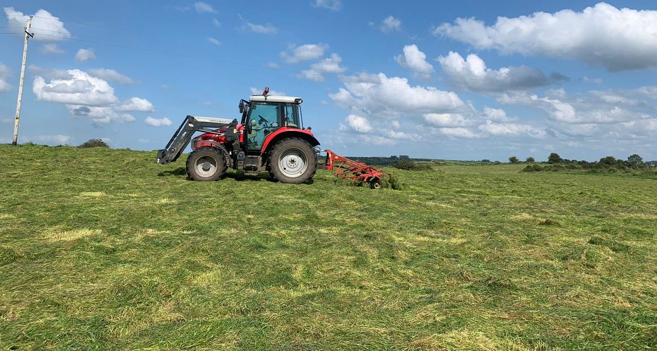
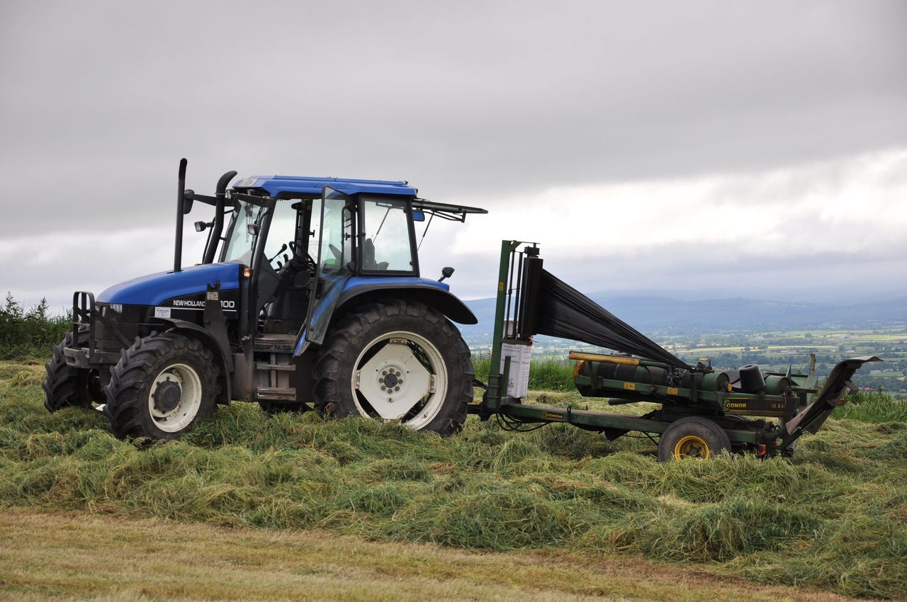
Drying conditions will be good today; however, conditions will gradually deteriorate tomorrow in the western half of the country. Further spells of rain across the country and slightly cooler temperatures from Wednesday onwards will result in poor drying for the latter half of the week.
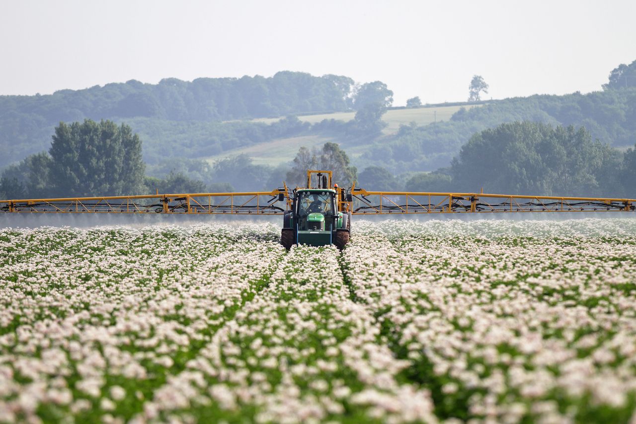
Today and tomorrow will offer good spraying opportunities with generally dry conditions and light to moderate breezes. Spraying opportunities will become more limited towards midweek next week as spells of rain develop, Met Éireann says.
Regarding field conditions, the majority of soils are below their saturation levels; however, some poorly drained soils are saturated or waterlogged. Field conditions will worsen during the week with some moderately or well drained soils also reaching saturation in rainfall from midweek, particularly in Munster and Connacht.
Early indications suggest field trafficability may improve somewhat again next weekend, however some poorly drained soils will likely remain waterlogged, the forecaster concludes.