Met Éireann: Storm Claudia brings wet and windy start to weekend

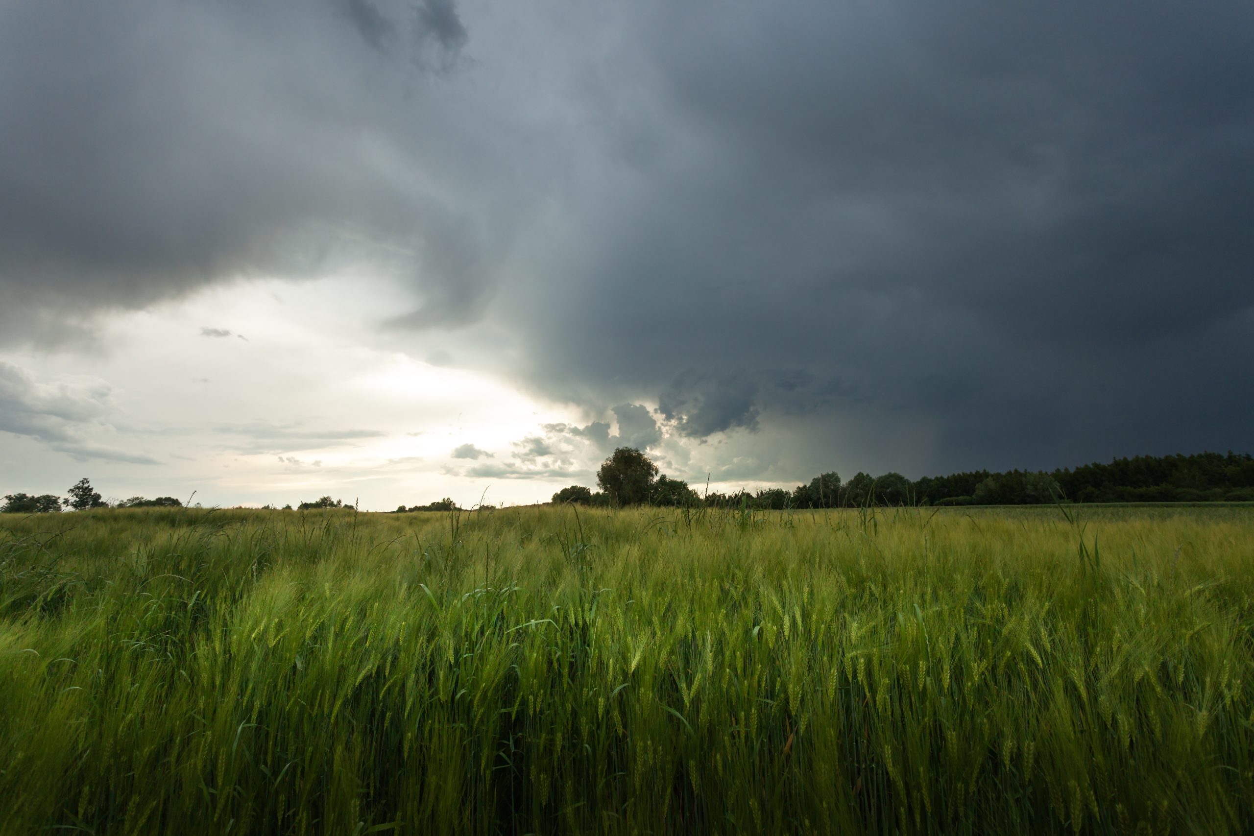
Met Éireann has issued several weather warnings as Storm Claudia is set to bring heavy rain and strong winds today (Friday, November 14).
The national forecaster said the weather front is forecast to travel north over southern and eastern parts of Ireland.
There will be a lot of rain in Leinster and Munster, while it is expected to stay "largely dry" for many parts of Connacht and Ulster.
Highest temperatures of 7° to 12°C in fresh to strong and gusty northeasterly winds, with gales on eastern coasts.
Tonight will be largely dry with clear spells in Ulster and north Connacht, but cloudy and wet across other areas with further outbreaks of rain and drizzle. Overnight lows of 4° to 8°.
Storm Claudia
A Status Orange rainfall warning for Dublin, Wexford and Wicklow will be in place from 2:00p.m today until 11:00a.m on Saturday.
There will be significant rainfall accumulations, especially on high ground and exposed areas, which will bring a risk of flooding and hazardous travelling conditions.
A Status Yellow rain warning for Cork; Kerry; Limerick; Tipperary and Waterford is valid from 9:00a.m today until 9:00a.m on Saturday.
A similar alert will be in force from 11:00a.m today until 11:00a.m on Saturday for Carlow; Dublin; Kildare; Kilkenny; Louth; Meath; Wexford and Wicklow.
There will be a risk of flooding as the heavy and persistent rain falls on already saturated ground. Difficult travelling conditions and poor visibility is also expected in these areas.
Met Éireann has also issued a Status Yellow wind warning for Dublin; Louth; Meath; Wexford and Wicklow from 12:00p.m today until 4:00a.m on Saturday.
Weekend weather
On Saturday morning, patchy rain and drizzle will move northwards over the country, as showers push into the south.
The rain will ease later with some sunny breaks possible, well scattered showers continuing mainly over the southern half of the country.
Windy at first tomorrow, with fresh to strong northeasterly winds, but these will ease. Highest temperatures of 7° to 12°.
Staying cloudy on Saturday night with isolated light rain or drizzle across the east and south, but dry with clear spells further north.
Lowest temperatures of 3° to 9°, coldest under the clear skies in the north.

Mainly dry on Sunday with a mix of cloud and sunny spells. Highest temperatures of 7°to 11° with light northerly winds.
Sunday night is forecast to be mostly dry with clear spells, but some light showers in the north and west. A cold night with lowest temperatures of 0° to 5° , in a light northerly wind.
Some scattered outbreaks of rain are expected on Monday with highest temperatures of 7° to 10° in light westerly winds.
There will be a mix of sunny spells and showers on Tuesday in a moderate to fresh northwest wind, with highest temperatures of 7° to 10°.
Met Éireann
In its latest farming commentary, Met Éireann said rainfall amounts over the next week will vary significantly across the country.
The highest totals will be in the south and southeast, with totals of between 30 and 60mm expected.
Totals could reach around 55mm at Johnstown Castle, Co. Wexford, which is over 200% of average.
However, other areas will receive less rainfall, with parts of the north midlands and west receiving less than 50% of average, with between 5 and 20mm expected in these areas.
Overall the week ahead will see mean air temperatures dropping below average for the time of year, ranging from 5° to 9°, which 1° to 2° below normal.
Met Éireann said drying conditions will remain poor generally for the next few days. An improvement is likely to develop over the weekend, especially from Sunday.
Spraying opportunities will be limited over the coming days. There may be some opportunities developing from Sunday.