Met Éireann: Mixed conditions this week with showers at times

Met Éireann said the weather will be mixed this week with rain and showers at times, along with some drier and brighter spells.
The national forecaster said temperatures will be around average, or slightly above average in place for this time of year.
Today (Monday, June 15), will begin dry with hazy sunny spells in many places. Cloud will build from the south-west and west during the morning and afternoon bringing patchy light rain and drizzle.
There will be some sunny spells in the south-west by the evening.
Mostly light south-easterly winds veering south-westerly during the day, with highest temperatures of 15° to 20°C.
Cloud will increase from the south-west and west tonight with some light rain and drizzle, with some mist and fog patches in coastal areas and on hills.
Overnight lows of 10° to 14° with light southerly or variable breezes.
Weather forecast
Tuesday will be a mainly cloudy day with limited bright spells. More persistent rain and drizzle will develop, mainly in Munster and Leinster, in the afternoon and evening.
Highest temperatures of 15° to 20°, feeling coolest in the west and warmest in the east, with light to moderate south to south-west winds.
Rain will clear eastwards on Tuesday night, leaving a mix of cloud and clear spells, with isolated showers. Lowest temperatures of 10° to 13°, in light to moderate southerly winds, veering south-westerly.
Wednesday is expected to be breezy with sunny spells and just a few showers. Highest temperatures of 16° to 20°, again feeling coolest in the west, with moderate to fresh south-westerly winds.
There will be a mix of cloud and clear spells on Wednesday night, but it is set to become cloudier in the south-west bringing rain and drizzle.
Overnight lows of 10° to 13° in mostly moderate southerly winds.
Cloudy with outbreaks of rain and drizzle on Thursday, with more persistent and heavier rain later in the day from the south.
Moderate to fresh southerly winds in highest temperatures of 15° to 20° , the lower values expected in the west.
Rain on Friday will clear eastwards during the day, with sunny spells and scattered showers following from the west.
Highest temperatures of 15° to 19° in moderate to fresh south-west to west winds.
Met Éireann said current indications suggest high pressure may dominate our weather over the weekend bringing dry and bright spells with warm conditions.
Met Éireann
According to Met Éireann, rainfall amounts over the coming week will range from 13 to 36mm with highest amounts expected in the south and south-west.
This corresponds to 90% of average in parts of the east and north to 182% along the south coast.
Mean air temperatures will reach 14° to 16°, which is 0° to 2° above average. Soil temperatures will continue above average.
Drying conditions will be variable and poor at times. Drying conditions may improve next weekend.
There will be good conditions for spraying and for a time on Monday.
From Monday afternoon onwards, spraying conditions will be more limited due to rain or showers at times
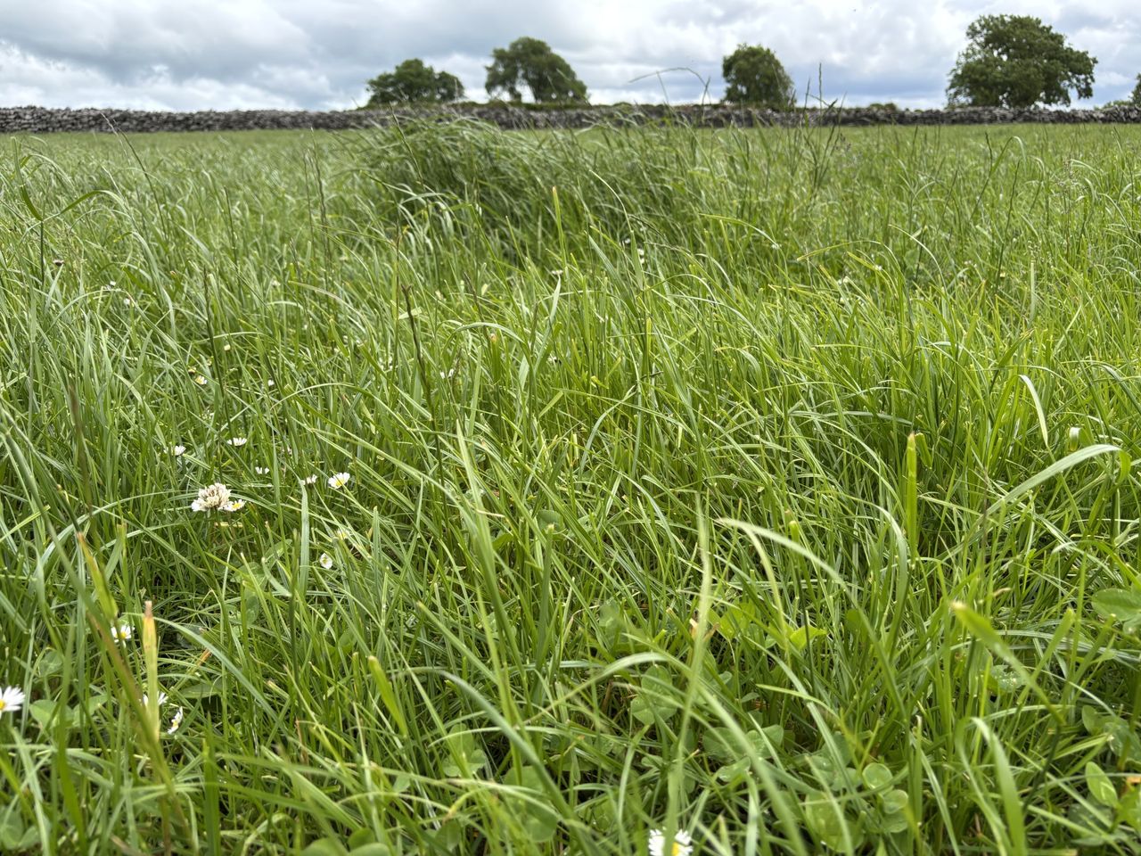
Soils in west Munster, Connacht and Ulster are quite wet/damp for this time of year with soil moisture deficits between 0-9mm. Some poorly drained soils are saturated.
Leinster and east Munster are drier with soil moisture deficits between 15-40mm.
For the coming week, there will be little change in field conditions across the country.
Met Éireann said that from Tuesday onwards, conditions faviurable for potato blight may occur at times, due to the mild conditions and rain at times.