Met Éireann: Mixed and changeable weather expected this week

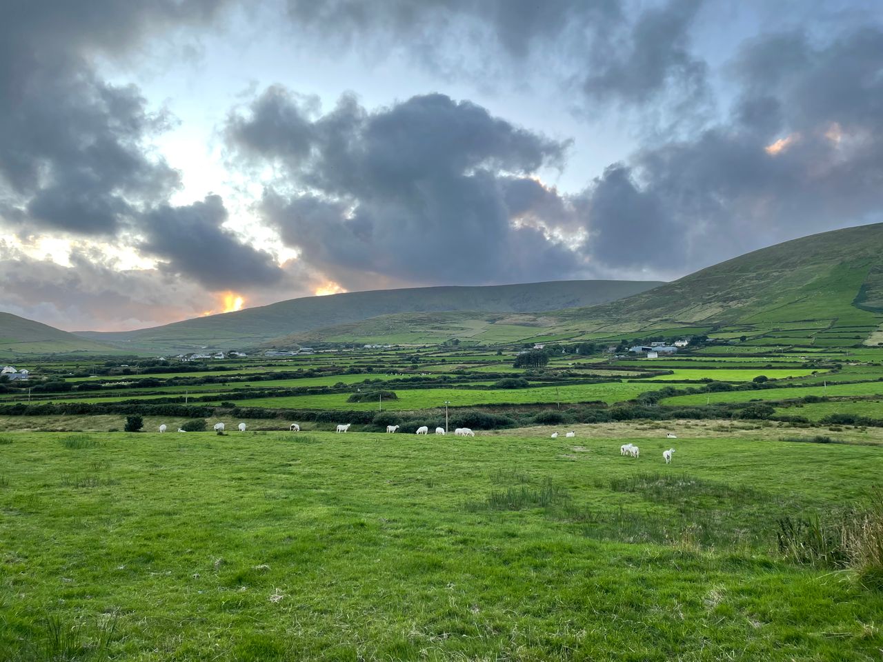
Met Éireann has said this week will bring mixed and changeable weather conditions across the country.
The national forecaster said most of the rainfall will be in the west and north, with drier conditions in the south and east.
Today (Monday, July 27), will be mostly cloudy with some light rain and drizzle, mainly in the northern half of the country. Staying dry with some bright spells in the south and east.
It will feel humid with highest afternoon temperatures of 16°C in the northwest to 23° in the south-east in a light to moderate south-west wind.
Tonight will be cloudy, mild and humid, with rain and drizzle in Connacht and Ulster, elsewhere many areas will remain dry. Lowest temperatures of 14° to 18° with light to moderate south-west breezes.
Met Éireann
Tomorrow (Tuesday) will be warm, humid and mostly cloudy. Further outbreaks of rain and drizzle will be most persistent in the west and north-west.
Highest afternoon temperatures from 17° in the west and north-west to 24° in parts of the midlands and east. South-westerly winds will be mostly moderate and occasionally fresh.
Tuesday night will be cloudy in the west and north where rain will become more persistent. It will stay mainly dry elsewhere. Some mist and hill fog may form in the light to moderate south-westerly winds. Overnight lows of 12° to 16°.
Rain in the north and west will slowly clear south-eastwards on Wednesday to leave bright spells and drier conditions. Top temperatures of 17° to 24°, warmest in the south and east in light to moderate south-westerly winds veering westerly.
There will be a mixture of sunny spells and showers on Thursday and it will feel fresher than previous days. The heaviest showers will be further north.
Highest temperatures of 15° to 21°, feeling warmest in the south and east, in moderate west to north-west winds.
Friday will bring sunny spells and scattered showers, the driest conditions will be in the south.
Highest daytime temperatures of 16° to 22° with light to moderate south-west to west winds.
The current outlook shows that Saturday and Sunday will be mainly dry, some showers are possible on Monday.
Weather
Met Éireann said rainfall amounts in the coming week will stay below average levels with less than 11mm forecast, dropping to 2mm in the south-east.
However, in parts of the north-west and west up to 31mm or approximately 150% of average is expected.
Mean air temperatures are forecast to be close to average for much of the country over the coming week (ranging from 14° to 17°). In the east and south values will be a degree or two warmer than average.
Mean soil temperatures over the past seven days ranged from 16.8° in the north to 22.5°. They are expected to stay above average for the coming week.
The best drying conditions and spraying opportunities in the coming days are expected in the south-east.
Met Éireann said that all areas are currently experiencing restriction to growth, with near drought conditions across much of the southern half of the country.
Soil moisture deficits currently range from 26mm in the north to 90mm in the south-east.
Rainfall is expected to reduce soil moisture deficits in the north by approximately 10mm over the coming week. Little overall change is expected further south.
Met Éireann has advised that weather conditions conducive to the spread of potato blight will extend to Connacht, Ulster, north Leinster and north and west Munster today.
Meanwhile, a condition orange high fire risk has been issued by the Department of Agriculture, Food and the Marine (DAFM) until 12 noon on Wednesday (July 29).