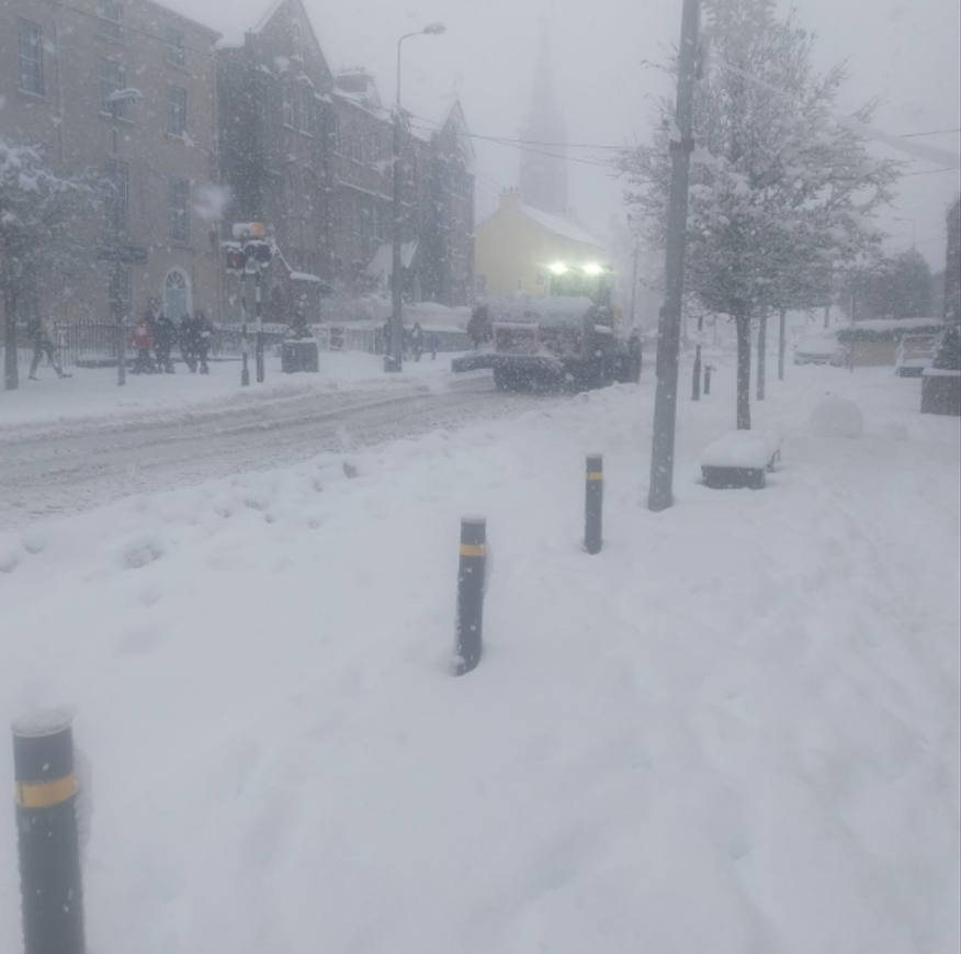
Met Éireann forecasts 'bitterly cold' conditions for most of this week

Met Éireann is forecasting "bitterly cold" conditions for most of this week, with a status yellow warning for low temperature and ice in place for the whole country.
The warning came into effect yesterday evening (Sunday, January 5) at 5:00p.m and will remain in place until midday on Thursday (January 9).
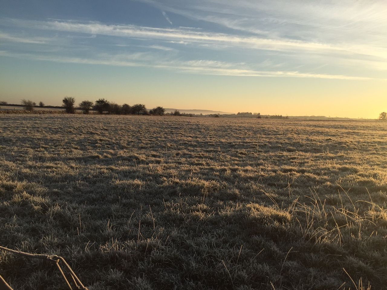
The national forecaster said the country will experience very cold nights with widespread frost and ice, with temperatures struggling to get above freezing during the day.
Potential impacts of the cold snap include hazardous travelling conditions, icy patches, and travel disruption, according to Met Éireann.
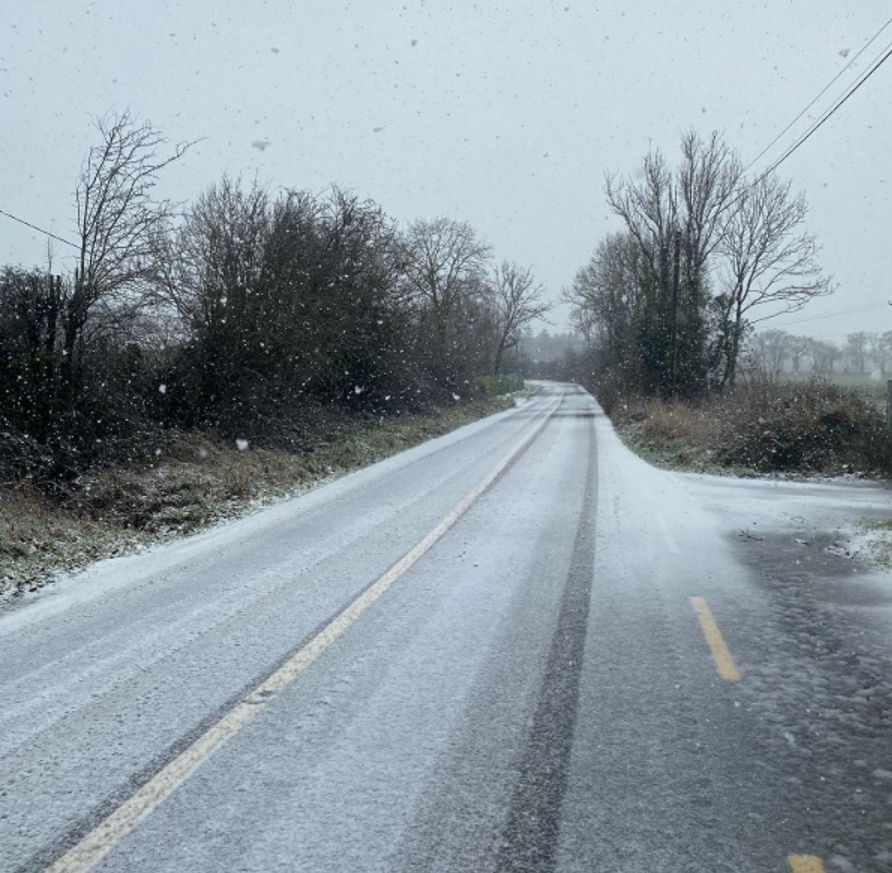
It will be bitterly cold today (Monday, January 6), with widespread frost and lying snow. There'll be sunshine and scattered showers of rain, hail, sleet and snow.
Top temperatures generally will range from 1° to 5° but it will stay below freezing over snow fields. Northwesterly winds will increase moderate to fresh and gusty, though stronger for a time in Atlantic areas.
There will be clear spells and scattered sleet and snow showers tonight, with the showers most frequent in the west and north. There will also be widespread frost and ice, with lowest temperatures of -5° to 0° in moderate west to northwest winds.
It will be another very cold day tomorrow (Tuesday, January 7), with sunshine and further scattered wintry showers in the west and north of the country. Frost and ice will linger in some areas all day, with highest temperatures ranging from 0° to +5° in moderate northwest winds.
Tomorrow night will be bitterly cold with severe frost as minimum temperatures range from -8° to -3° in light westerly or variable winds. Areas of freezing fog will develop in some areas leading to hazardous travelling conditions, with a few wintry showers along the north coast.
It will remain very cold on Wednesday (January 8), with areas of ice and freezing fog lingering in some areas throughout the day. Where the fog does clear there will be spells of sunshine.
Maximum afternoon temperatures will generally range from -3° to +3° in mostly light westerly winds. Further wintry showers in the north and northwest are expected.
Wednesday night will see more of the same, with widespread frost and ice along with areas of freezing fog. There will be some sleet and snow showers along northern and northwestern coastal areas. Lowest temperatures are expected to be -8° to -2°.
Thursday will be a mainly dry, chilly day with sunshine. However, frost and freezing fog may linger in southern parts. Maximum afternoon temperatures should be -2° to +5°, with light variable winds.
Thursday night is not expected to be quite as cold as previous nights, though still hitting freezing conditions in some areas, with lowest temperatures of 0° to 4° in moderate to fresh southeasterly winds.
Rain, sleet and snow will also spread northeastwards on Thursday night.
It is expected to be less cold on Friday (January 10), with outbreaks of rain spreading eastwards and becoming lighter through the day. Highest temperatures should be 3° to 6° with light southeasterly breezes.