DAFM spends €300,000 developing AgriSnap app


The Department of Agriculture, Food and the Marine (DAFM) has spent almost €300,000 on developing the AgriSnap app to date.
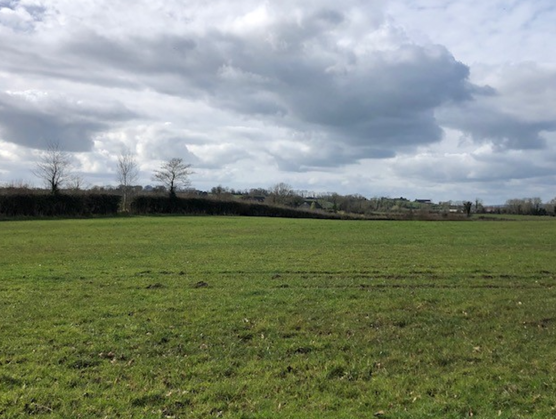
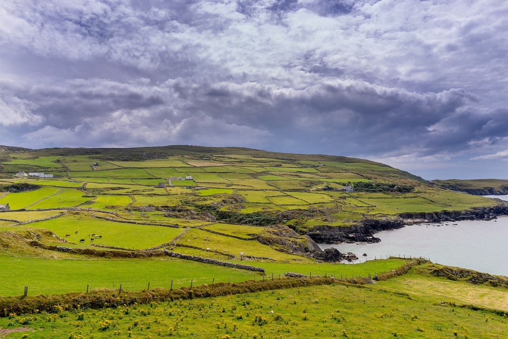
The precision photo app for smartphones allows farmers or their advisor to send land parcel geotagged pictures and information to the department to validate scheme payments.
A geotagged photograph is one that contains the Global Positioning System (GPS) location co-ordinates of the position of where the photo was captured.
DAFM may request AgriSnap photos from farmers to resolve queries that may arise for certain schemes or to support applications.
The app was for submissions of scorecards under the Agri-Climate Rural Environment Scheme (ACRES).
However, many agricultural advisors had complained about connectivity issues when out in the field last year.
AgriSnap
In a parliamentary question, Independent Kerry TD Michael Healy-Rae asked how much the AgriSnap app had cost to develop and if all of the IT issues and difficulties with the transfer of information had been resolved.
In response, Minister for Agriculture, Food and the Marine Charlie McConalogue said that AgriSnap was developed as part of an EU initiative to provide digital solutions and e-tools to modernise the Common Agricultural Policy (CAP).
He said that the "design and vision of the app" was a collaboration between the department, the Walton Institute and stakeholders, including farmers and advisors.
Minister McConalogue said that any issues that arose in the early use of app for ACRES scorecards were "dealt with promptly and resolved".
"There are no known issues or bugs related to AgriSnap," he added.
Nearly 166,000 ACRES scorecards were submitted over a 16-week period through the newly developed scorecard feature on the AgriSnap app.
"Almost 9,000 of these were submitted during weekends, highlighting the flexibility and stability of the app, and rates rose as high as 4,000 or more scorecards submitted within a 24 hour period on several occasions.
"More than 500,000ha of land was scored and due to its in-built location accuracy AgriSnap ensured that 100% of users were present at the correct location before completing the scorecard," McConalogue said.
The minister confirmed that the cost to the department to date for the development of the AgriSnap app is €299,444 including VAT.