Changeable weather to turn unsettled in coming days


Autumn weather has well and truly arrived now, with the coming days set to be changeable at first, but becoming more unsettled from the middle of next week.
It will start fresh today (Friday, September 25), with sunny spells and scattered blustery showers. Heavy showers will mainly affect Atlantic counties this morning. However, into the afternoon, showers will mainly affect the north and northeast. It will become mostly dry elsewhere, with rather brisk northwest breezes easing off.
It will also be cool today, with highest temperatures ranging from 11° to 14°. Later this evening some light rain or drizzle will develop in the far southwest.
It will turn cold tonight, with lowest temperatures ranging from 0° to 7°, coldest across Ulster and Leinster, with some grass frost.
Mist, fog and any frost will clear early tomorrow (Saturday, September 26) to leave a dry day with spells of crisp autumn sunshine. It will be cool in light northerly breezes, with highest temperatures ranging from 11° to 14°.
It will be dry, calm, cold and mostly clear on Saturday night, with lowest temperatures ranging from a chilly -2° to +2°. Some frost will set in, along with mist and fog patches.
However, cloud will build across west and southwest counties into Sunday afternoon, with some rain moving into Atlantic counties in the late evening or early night. Highest temperatures will range from 13° to 17°, coolest across the north and east.
Sunday night will see scattered outbreaks of rain and drizzle moving in across Ireland. There will be some mist and fog in parts too, in mostly moderate southerly breezes. Lowest temperatures will be 5° to 12°, coldest across the north and east.
Monday (September 28) will be damp or wet to begin, with any lingering overnight rain soon clearing eastwards. It will brighten up into the afternoon, with sunny spells and just well scattered showers – mainly along west and northwest coasts.
Early indications suggest Tuesday (September 29) will bring mostly dry weather for the morning and afternoon with sunny spells and isolated showers. However, southerly winds will freshen during the evening with wet and windy weather arriving into the western half of the country later in the evening.
Highest temperatures on Tuesday will be 14° to 16°. Wet and rather windy weather will extend countrywide overnight.
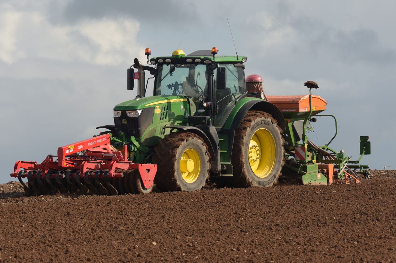
Drying, spraying and soil
Poor drying conditions are expected for the coming week in general. Conditions will be moderate today and on Saturday.
Showers or longer spells of rain along with moderate to fresh winds in the coming week will limit opportunities for spraying in most areas. The best opportunities should be tomorrow.
Soils are generally dry across the country, with poorly drained soil in the northwest the only soil that is saturated. Soils in the south are driest with soil moisture deficits of 20mm to 30mm.
By the end of the week poorly and moderately drained soils will be saturated or waterlogged in much of the north, west and southwest. Elsewhere, deficits will be lower due to showers or longer spells of rain but they will generally remain trafficable.