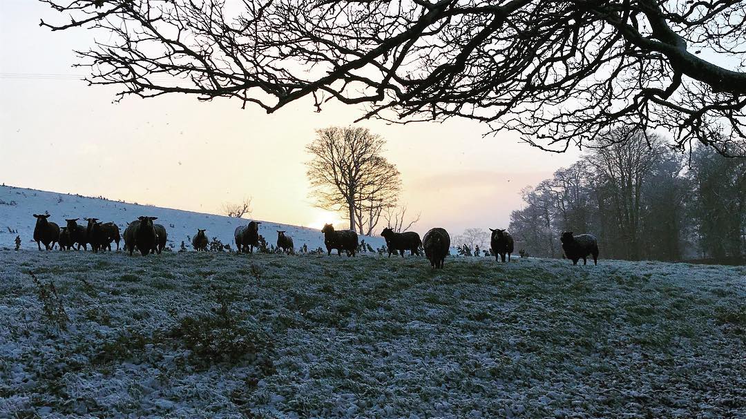
This week will get off to a wintry start, according to Met Éireann, with a risk of thunder and hail in parts today, as well as accumulations of snow on high ground.
A Status Yellow snow/ice warning has been issued for Connacht, as well as counties Donegal and Cavan.
Issued yesterday morning, Sunday, January 26, at 10:00am, the alert came into place yesterday evening at 6:00pm; it will expire at 11:00am this morning.
Snow showers will be most frequent in Ulster and Connacht and especially so on high ground, according to the advisory, which came into place yesterday and will remain valid until 3:00pm tomorrow.
For the country in general, there will be sunshine and scattered showers today. The east and south-east of the country will be mostly dry with sunshine and just isolated showers with a period of more frequent showers here in the afternoon.
In the west the showers will be scattered or frequent through the day and will be heavy and wintry in nature, with a risk of thunder and hail.
Highest temperatures of 3° to 6° are expected in a moderate to fresh and gusty south-west wind, easing moderate later.
Tonight the showers will be isolated and mostly confined to the west and north. Elsewhere will be mainly dry with clear spells.
Temperatures will drop to -1° in the air widely with a sharp frost and icy stretches on untreated surfaces likely. Winds will be moderate, occasionally fresh, southwesterly.
Tomorrow
Tomorrow will be cold once again with further scattered showers, most frequent across the western half of the country.
Temperatures will be between 4° and 6° in fresh to strong south-west to west winds.
Tomorrow night will be cold with temperatures of between 0° to 2° with mainly dry conditions for much of the country while showers continue in Ulster.
Outlook
On Wednesday there will be showery rain for a time, mostly through the northern and northeastern parts of the country, with mostly dry but cloudy conditions elsewhere.
Temperatures will be between 7° and 9° and winds will be moderate to fresh south-west to west.
It’ll be mainly cloudy overnight keeping temperatures at around 3° or 4° in the air.
Temperatures in the north will still be on the cold side but there’ll be a recovery to slightly higher temperatures in Munster and south Leinster, according to the forecaster.
It will be mostly dry overnight although there’s a risk of rain along western and northwestern areas, Met Éireann says.