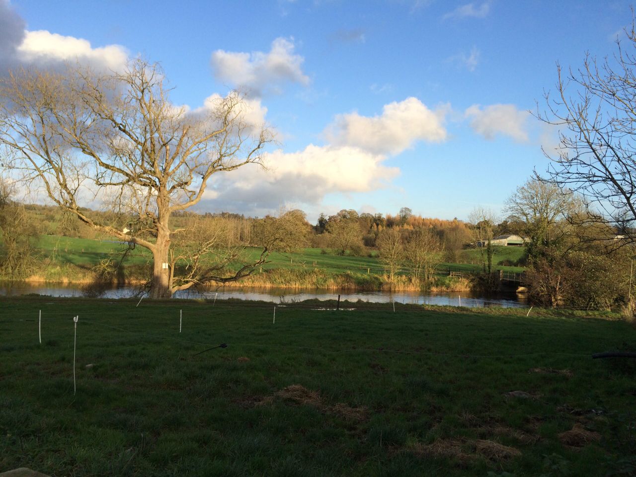
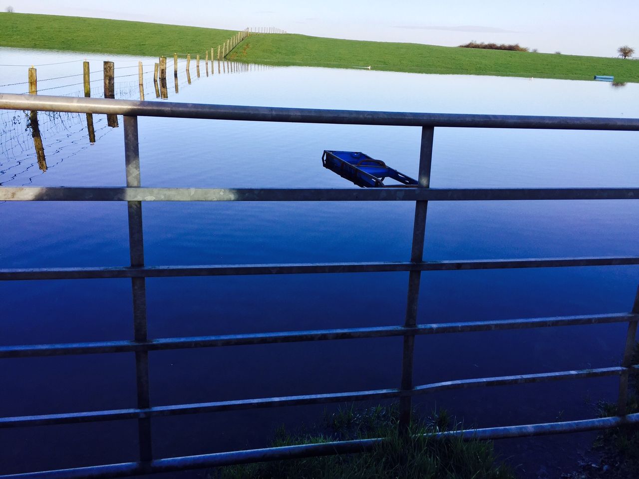
Widespread rain on the way as Met Eireann issues rainfall warning
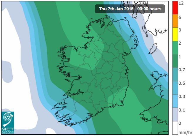
A status yellow rainfall warning has been issued for the country by Met Eireann from midday until 9.00am tomorrow morning (Thursday).
Rainfall amounts of 15 to 25mm are expected, according to Met Eireann.
A band of rain will move slowly northeastwards over Ireland through this afternoon, evening and tonight, it said.
Rain will move northeastwards over Munster and Connacht and it will become heavy this afternoon.
Met Eireann has said that it will extend to remaining areas this evening and early tonight.
It will become quite windy with fresh, gusty south to southeast winds with highest temperatures of 6 to 10 degrees, it said.
Heavy rain will continue early tonight persisting over Leinster and Ulster for much of the night, falling as sleet in places further north.
It will clear by morning and it will be clearer elsewhere with some showers in the west.
Thursday night will be cold with clear spells and scattered showers, wintry in parts of the North, it said.
As the winds ease off inland some frost will form perhaps resulting in some icy surfaces.
Looking to Friday, Met Eireann has said that it will be a bright cold day where showers, mostly rain showers, will affect mainly western and southern counties.
Other areas will be drier and brighter with sunny spells and winds will be light south to southeast generally.
These winds will be fresher along the west coast, and highest temperatures will range 4 to 7 degrees with the lowest values over Ulster, it said.
On Friday night, rain showers are likely to become more widespread across the country, though it will stay largely dry and frosty over Ulster, Met Eireann said.