Weekend weather: Wet and windy with Status Yellow warnings

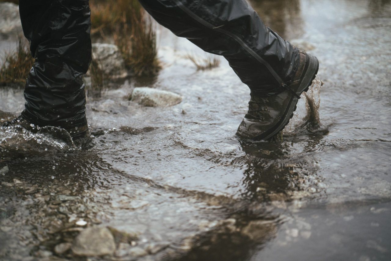
The weekend weather forecast looks set to bring a mix of wet and windy weather in parts of the country.
Met Éireann has issued a Status Yellow weather warning for wind for counties Clare, Galway, Mayo, Sligo, Leitrim and Donegal for most of the weekend, starting in the early hours of tomorrow, Saturday, December 21.
The Met Office in the UK has also issued a Status Yellow wind warning for five counties in the north tomorrow (Saturday). The affected counties will be Antrim, Down, Fermanagh, Tyrone, Derry.
Friday
According to the forecast, today (Friday, December 20) will start off mainly dry. Rain will develop in the west early this morning. It will spread eastwards across the country and will clear to the southeast early this afternoon.
Sunshine and scattered showers will follow. Moderate to fresh south-west winds will become westerly as rain clears with highest temperatures of 8° to 11°C.
Tonight will start off mainly dry. Rain and drizzle will develop in the north-west towards midnight and will spread south-eastwards across the country overnight.
Showers will follow into western areas by dawn. Lowest temperatures will range from 3° to 8° with south-westerly winds increasing fresh to strong and gusty.
Weekend weather
Met Éireann has issued a Status Yellow Wind Warning for Clare, Galway, Mayo, Sligo, Leitrim and Donegal with sustained strong and gusty westerly winds expected, veering north-westerly coupled with large coastal waves.Potential impacts include wave overtopping and/or spray, difficult travelling conditions especially near the coast and some fallen trees.
The weather warning will be in place from 03:00a.m on Saturday until 06:00p.m on Sunday, December 22.
There is also a Status Yellow Wind Warning for Antrim, Down, Fermanagh, Tyrone, Derry, where a period of strong winds on Saturday is likely to lead to some transport disruption.
The weather warning comes into force at 07:00a.m on Saturday and will remain in place until midnight on Saturday night.
In terms of a more detailed forecast, an Saturday morning, rain in the south and east will clear quickly and will be followed by sunny spells and blustery showers for the rest of the day.
It will be windy with fresh to strong, gusty westerly winds which will reach gale force along western and northern coasts with afternoon temperatures of 6° to 10° generally but up to 11 degrees in southern coastal parts.
Fresh to strong and gusty westerly winds, will reach gale force along western and northern coasts with spray and/or wave overtopping possible.
It is expected to be very windy on Saturday night with showers becoming widespread overnight.
Some of showers could be heavy and wintry with a mix of rain, hail, sleet and possibly some snow, especially in parts of Ulster and on higher ground. The showers will be hit and miss but some temporary accumulations are possible where they do fall.
Lowest temperatures of 2° to 6° are expected with fresh to strong and gusty westerly winds veering north-west overnight.
It will be very windy to begin on Sunday. Blustery showers will be fairly widespread early on, some of them heavy and wintry with a mix of rain, hail, sleet and possibly some snow.
The showers will be hit and miss but some temporary accumulations are possible where they do fall. Showers will become confined to the west and north in the afternoon and the risk of any sleet and snow will diminish.
Afternoon temperatures will range from 5° to 8°. Fresh to strong and gusty north-westerly winds, will reach gale or strong gale along western and northern coasts.On Sunday night, showers will become isolated overnight, with clear spells. Cloud will build from the west with light rain developing in the south-west by dawn with lowest temperatures of 2° to 6° in light to moderate westerly winds.
Outlook for next week
Becoming cloudy on Monday as light outbreaks of rain and drizzle spread from the west through the day. Highest temperatures of 10° to 13° are expected, in light to moderate southerly breezes, veering westerly later on.
The current indications for Christmas Eve and Christmas Day suggest that it will be mostly cloudy with some light rain and drizzle.
The rain likely to be most frequent in parts of the west and north-west of the country, with the driest conditions further east.
Temperatures look set to range around 10° to 13° for Christmas Eve and Christmas Day along with moderate south-west winds. It will remain mild overnight midweek also with no frost expected.